
| Memorials | : | 3 |
| Location | : | Charles Mix County, USA |
| Coordinate | : | 43.1695600, -98.1834300 |
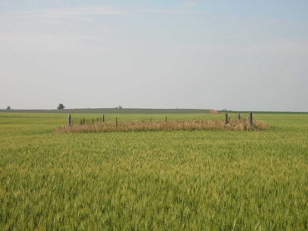
| Description | : | Although in Charles Mix county, it is closer to Delmont in Douglas County. From the west side of Delmont, the cemetery is located 7 miles south and 3/4 mile west. It is on the north side of the road. The road to the cemetery has been plowed under. It is located 1/4 mile east of the intersection of 400th Ave and 291st St. I could only find 2 headstones in the cemetery. The one not listed looked like it had sank and nothing was readable. The cemetery is also filled with badger holes, so not safe to... Read More |
frequently asked questions (FAQ):
-
Where is Congregational Church Cemetery?
Congregational Church Cemetery is located at 1/4 mile east of intersection of 400th Ave and 291st St Charles Mix County ,South Dakota ,USA.
-
Congregational Church Cemetery cemetery's updated grave count on graveviews.com?
3 memorials
-
Where are the coordinates of the Congregational Church Cemetery?
Latitude: 43.1695600
Longitude: -98.1834300
Nearby Cemetories:
1. Saint Pauls Lutheran Cemetery
Charles Mix County, USA
Coordinate: 43.1642780, -98.1687250
2. Zion Baptist Church Cemetery
Wagner, Charles Mix County, USA
Coordinate: 43.1761400, -98.2085800
3. New Salem Reformed Cemetery
Charles Mix County, USA
Coordinate: 43.1683006, -98.1271973
4. Bohemian Presbyterian Cemetery
Dante, Charles Mix County, USA
Coordinate: 43.1114500, -98.1671500
5. United Cemetery
Charles Mix County, USA
Coordinate: 43.1114006, -98.1660995
6. Hill Church Presbyterian Cemetery
Dante, Charles Mix County, USA
Coordinate: 43.1000000, -98.1660000
7. Oak Hollow Cemetery
Hutchinson County, USA
Coordinate: 43.1963997, -98.0599976
8. Delmont Cemetery
Delmont, Douglas County, USA
Coordinate: 43.2757988, -98.1481018
9. Hope Lutheran Cemetery
Delmont, Douglas County, USA
Coordinate: 43.2821999, -98.1568985
10. Zion Lutheran Cemetery
Delmont, Douglas County, USA
Coordinate: 43.2822000, -98.1558000
11. Haffner Family Farm Cemetery
Hutchinson County, USA
Coordinate: 43.2134840, -98.0312720
12. East Lake Andes Lutheran Cemetery
Lake Andes, Charles Mix County, USA
Coordinate: 43.1871986, -98.3475037
13. Old Missouri Cemetery
Delmont, Douglas County, USA
Coordinate: 43.2947006, -98.2043991
14. Nagel Family Cemetery
Avon, Bon Homme County, USA
Coordinate: 43.1558851, -98.0101013
15. Saint Marys Catholic Cemetery
Dante, Charles Mix County, USA
Coordinate: 43.0393900, -98.1779100
16. Saint Johns Cemetery
Wagner, Charles Mix County, USA
Coordinate: 43.0636280, -98.2882300
17. ZCBJ Cemetery
Wagner, Charles Mix County, USA
Coordinate: 43.0622100, -98.2881120
18. Zion Lutheran Cemetery
Tripp, Hutchinson County, USA
Coordinate: 43.1974400, -97.9917300
19. Hoffnungsberg Cemetery
Hutchinson County, USA
Coordinate: 43.2972600, -98.0485700
20. Gramkow-Vesper Cemetery
Avon, Bon Homme County, USA
Coordinate: 43.0690500, -98.0095800
21. Emmanuel Lutheran Cemetery
Delmont, Douglas County, USA
Coordinate: 43.3331200, -98.1885800
22. Friedens Reformed Cemetery
Tripp, Hutchinson County, USA
Coordinate: 43.2113991, -97.9657974
23. Grace Hill Cemetery
Tripp, Hutchinson County, USA
Coordinate: 43.2111015, -97.9638977
24. Cathedral Catholic Cemetery
Tripp, Hutchinson County, USA
Coordinate: 43.2121100, -97.9619600