
| Memorials | : | 0 |
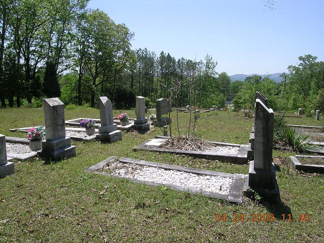
| Location | : | Anniston, Calhoun County, USA |
| Coordinate | : | 33.6460340, -85.7874920 |
| Description | : | From U. S. Highway 431 (Quintard Ave) on Tenth Street, travel east 1.1 miles to Henry Road; over mountain 2.1 miles to intersection of Choccolocco, Golden Springs, and Coleman Roads; west on Coleman, then almost immediately, north on Raemon Road. Church and cemetery are less than one block on east side of road. |
frequently asked questions (FAQ):
-
Where is Congregational Methodist Church Cemetery?
Congregational Methodist Church Cemetery is located at 305 Raemon Drive Anniston, Calhoun County ,Alabama , 36207USA.
-
Congregational Methodist Church Cemetery cemetery's updated grave count on graveviews.com?
0 memorials
-
Where are the coordinates of the Congregational Methodist Church Cemetery?
Latitude: 33.6460340
Longitude: -85.7874920

Nearby Cemetories:
1. Forestlawn Gardens and Mausoleum
Anniston, Calhoun County, USA
Coordinate: 33.6342010, -85.7885971
2. Sacred Heart Catholic Church
Anniston, Calhoun County, USA
Coordinate: 33.6311930, -85.7838320
3. Union Grove Cemetery
Golden Springs, Calhoun County, USA
Coordinate: 33.6293983, -85.7825012
4. Moore Family Cemetery
Golden Springs, Calhoun County, USA
Coordinate: 33.6279270, -85.7893550
5. Highland Cemetery
Anniston, Calhoun County, USA
Coordinate: 33.6575012, -85.8153000
6. Hillside Cemetery
Anniston, Calhoun County, USA
Coordinate: 33.6575012, -85.8174973
7. Grace Episcopal Church Columbarium
Anniston, Calhoun County, USA
Coordinate: 33.6639252, -85.8149338
8. Holley Springs Baptist Church Cemetery
Holly Springs, Calhoun County, USA
Coordinate: 33.6519012, -85.7521973
9. Oconee Cemetery
Oxford, Calhoun County, USA
Coordinate: 33.6152992, -85.7953033
10. DeArmanville Methodist Church Cemetery
DeArmanville, Calhoun County, USA
Coordinate: 33.6258011, -85.7510986
11. Dudley Snow Family Cemetery
Oxford, Calhoun County, USA
Coordinate: 33.6128950, -85.8217620
12. Sunny Eve Cemetery
Oxford, Calhoun County, USA
Coordinate: 33.6087900, -85.7495000
13. Oxford Memorial Gardens Cemetery
Oxford, Calhoun County, USA
Coordinate: 33.6176700, -85.8391600
14. Dogwood Trails Memorial Gardens
Oxford, Calhoun County, USA
Coordinate: 33.6172550, -85.8390670
15. Hobson City Memorial Garden
Hobson City, Calhoun County, USA
Coordinate: 33.6184959, -85.8434219
16. Saint Michael & All Angels Church Cemetery
Anniston, Calhoun County, USA
Coordinate: 33.6663551, -85.8483734
17. Edgemont Cemetery
Anniston, Calhoun County, USA
Coordinate: 33.6906013, -85.8285980
18. Harmony Baptist Church Cemetery
Choccolocco, Calhoun County, USA
Coordinate: 33.6496500, -85.7164050
19. Pine Ridge Cemetery
Talladega County, USA
Coordinate: 33.5841300, -85.8028300
20. Antioch Cemetery
Anniston, Calhoun County, USA
Coordinate: 33.7122700, -85.7786300
21. Bethlehem Baptist Church Cemetery
Oxford, Calhoun County, USA
Coordinate: 33.5802994, -85.7696991
22. Pine Grove Cemetery
Anniston, Calhoun County, USA
Coordinate: 33.6482390, -85.8754010
23. New Prospect Cemetery
Calhoun County, USA
Coordinate: 33.6567001, -85.7003021
24. Prisoner of War Cemetery
Anniston, Calhoun County, USA
Coordinate: 33.7178001, -85.8103027