
| Memorials | : | 2 |
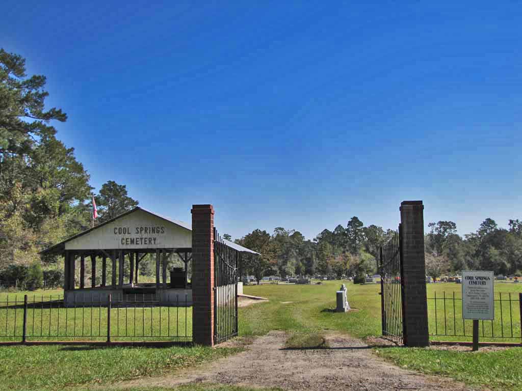
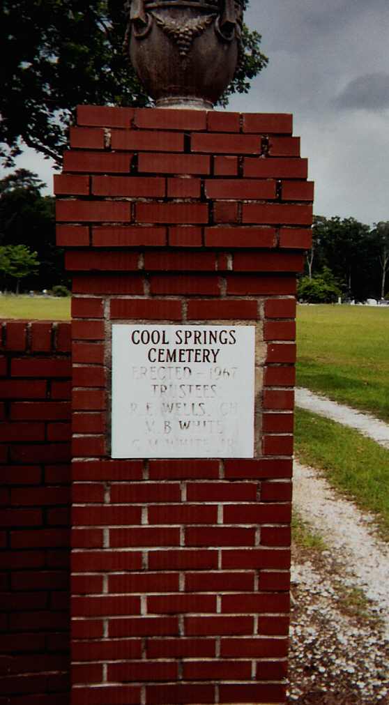
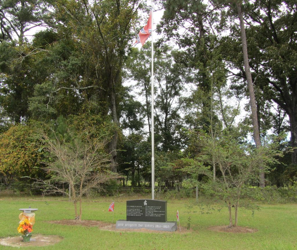
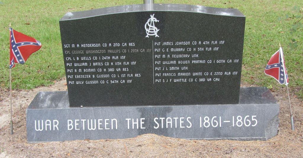
| Location | : | Faceville, Decatur County, USA |
| Coordinate | : | 30.7451560, -84.6234670 |
| Description | : | From Bainbridge, take Hwy 97 South (Faceville hwy) to GA Hwy 302/Cool Springs Road (near mile marker 10). Bear left on hwy 302 (fork that goes to Quincy). Cemetery is at the intersection of Faceville-Attapulgus Road and GA HWY 302 (Cool Springs Road) . |
frequently asked questions (FAQ):
-
Where is Cool Springs Cemetery?
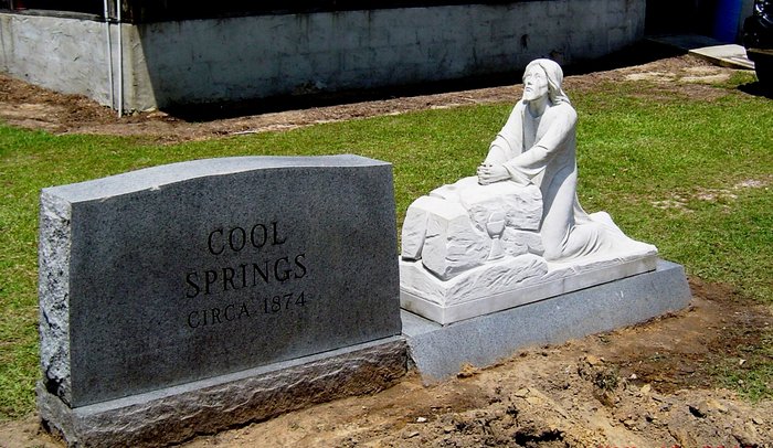
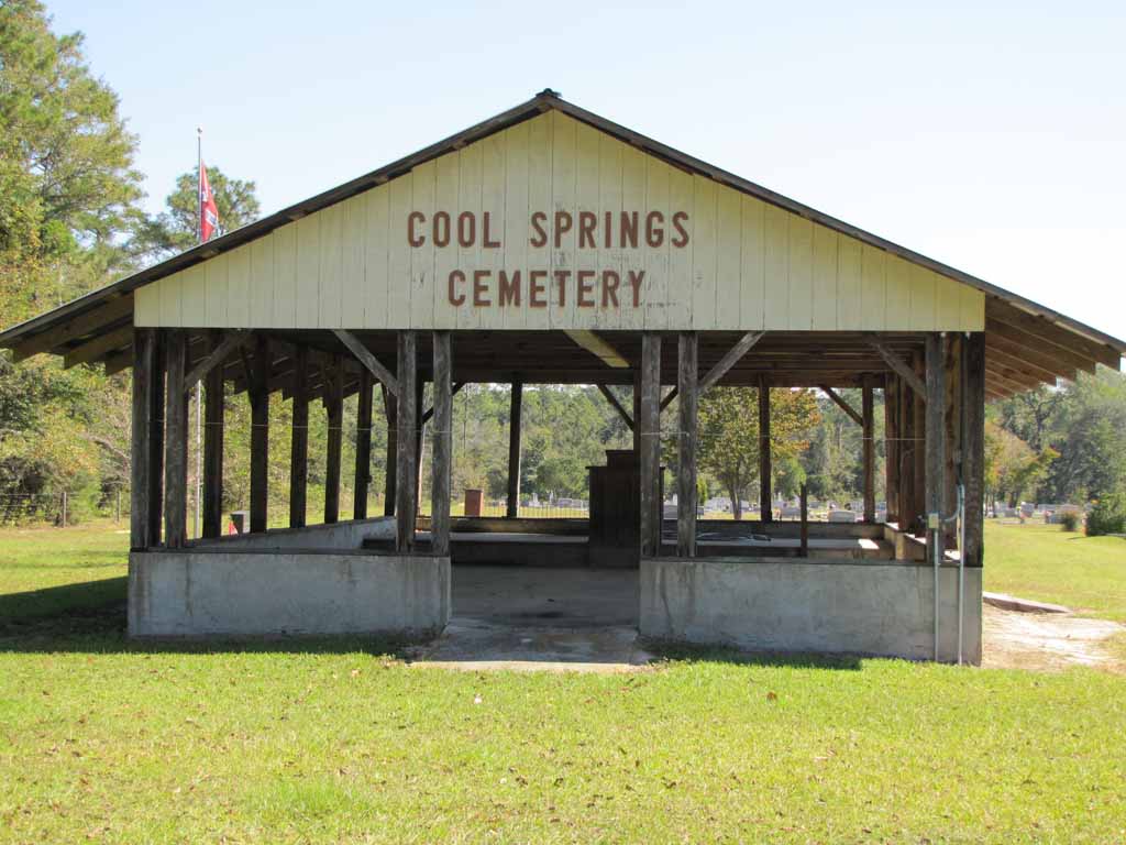
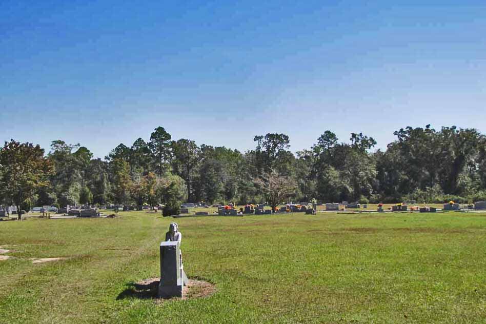
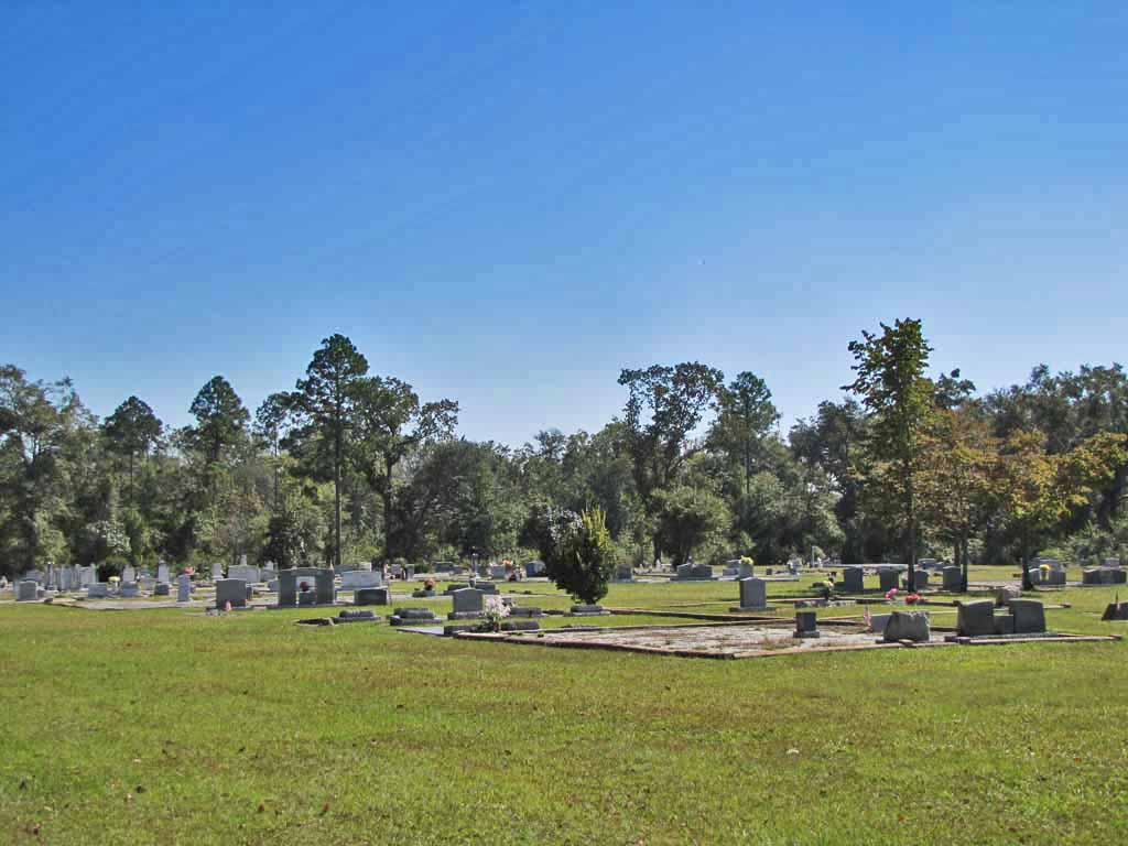
Cool Springs Cemetery is located at 462 Cool Springs Road Faceville, Decatur County ,Georgia , 39819USA.
-
Cool Springs Cemetery cemetery's updated grave count on graveviews.com?
2 memorials
-
Where are the coordinates of the Cool Springs Cemetery?
Latitude: 30.7451560
Longitude: -84.6234670
Nearby Cemetories:
1. Peterson Cemetery
Decatur County, USA
Coordinate: 30.7528000, -84.6164017
2. Faceville Baptist Church Cemetery
Decatur County, USA
Coordinate: 30.7519940, -84.6395080
3. Fain Cemetery (Defunct)
Decatur County, USA
Coordinate: 30.7430992, -84.5841980
4. Franklin Baptist Church Cemetery
Bainbridge, Decatur County, USA
Coordinate: 30.7057280, -84.5924380
5. Mount Calvary Cemetery
Gadsden County, USA
Coordinate: 30.6938992, -84.6235962
6. Mount Hosea Missionary Baptist Church Cemetery
Gadsden County, USA
Coordinate: 30.6928005, -84.6147003
7. Pine Grove Cemetery
Faceville, Decatur County, USA
Coordinate: 30.7907600, -84.5906900
8. Hopewell Methodist Church Cemetery
Bainbridge, Decatur County, USA
Coordinate: 30.7041720, -84.5819130
9. Greenshade Cemetery
Fowlstown, Decatur County, USA
Coordinate: 30.7964001, -84.5883026
10. Sylvania United Methodist Church Cemetery
Faceville, Decatur County, USA
Coordinate: 30.7381800, -84.6928100
11. Mount Zion Baptist Church Cemetery
Quincy, Gadsden County, USA
Coordinate: 30.6914812, -84.6554938
12. Hannatown Cemetery
Decatur County, USA
Coordinate: 30.7094002, -84.6825027
13. Mount Glory Cemetery
Quincy, Gadsden County, USA
Coordinate: 30.6774998, -84.6358032
14. Oak Grove
Fowlstown, Decatur County, USA
Coordinate: 30.7971500, -84.5569600
15. Mount Olive AME Church Cemetery
Attapulgus, Decatur County, USA
Coordinate: 30.7451280, -84.5335260
16. Cox Family Cemetery
Quincy, Gadsden County, USA
Coordinate: 30.6858816, -84.5628059
17. Saint Paul Primitive Baptist Church Cemetery
Attapulgus, Decatur County, USA
Coordinate: 30.8036350, -84.5549670
18. St. Paul Cemetery
Attapulgus, Decatur County, USA
Coordinate: 30.7208449, -84.5292033
19. Poitevint Cemetery
Climax, Decatur County, USA
Coordinate: 30.7243996, -84.5267029
20. Saint John AME Church Cemetery
Quincy, Gadsden County, USA
Coordinate: 30.6581470, -84.6065080
21. Chester Cemetery
Attapulgus, Decatur County, USA
Coordinate: 30.7425003, -84.5168991
22. Elisha and Mary Harris Garden of Peace Cemetery
Attapulgus, Decatur County, USA
Coordinate: 30.7440410, -84.5161370
23. Camp Recovery
Recovery, Decatur County, USA
Coordinate: 30.7528400, -84.7327400
24. Mount Zion AME Church Cemetery
Bainbridge, Decatur County, USA
Coordinate: 30.8412800, -84.6258500