
| Memorials | : | 0 |
| Location | : | Cooper Hill, Osage County, USA |
| Coordinate | : | 38.4203940, -91.6698580 |
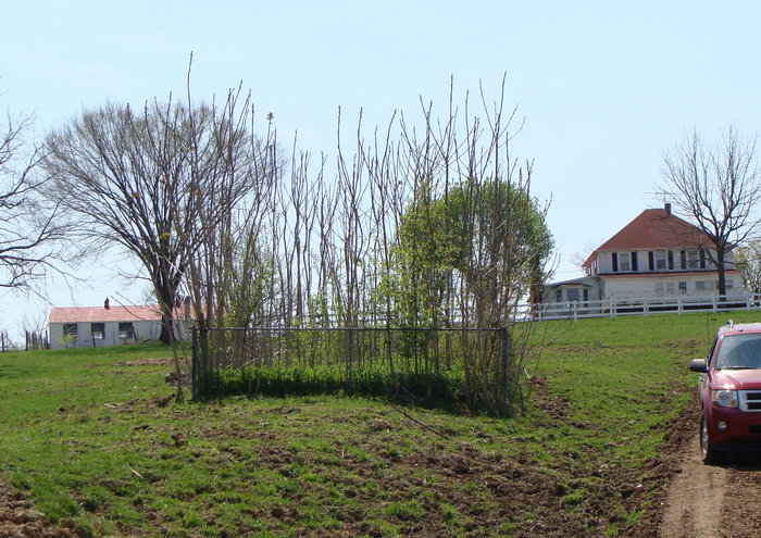
| Description | : | Note: "THIS IS THE TRUE COOPER CEMETERY" NOT COOPER HILL CEMETERY... IT IS LOCATED ON THE OLD COOPER FARM AND IS NOT LOCATED WITHIN THE LIMITS OF THE SUNDRY VILLAGE OF COOPER HILL OF TODAY! This is the True Cooper Cemetery and should be recorded here as the Original Cooper Family Cemetery, located on the Original John Burton Cooper Homestead & Farm. And it is situated in "Section No. 2, Twp. 42 North and Range 7 West." And it is located to the South to Southeast of the Small Sundry Village of Cooper Hill, in Jefferson Township, Osage County, Missouri. - There... Read More |
frequently asked questions (FAQ):
-
Where is Cooper Family Cemetery?
Cooper Family Cemetery is located at Cooper Hill, Osage County ,Missouri ,USA.
-
Cooper Family Cemetery cemetery's updated grave count on graveviews.com?
0 memorials
-
Where are the coordinates of the Cooper Family Cemetery?
Latitude: 38.4203940
Longitude: -91.6698580
Nearby Cemetories:
1. Cooper Cemetery
Osage County, USA
Coordinate: 38.4200450, -91.6698880
2. Cox-Cooper Cemetery
Feuersville, Osage County, USA
Coordinate: 38.4131012, -91.6844025
3. Leach Baker Cemetery
Osage County, USA
Coordinate: 38.4338989, -91.6568985
4. Nixon Cemetery
Osage County, USA
Coordinate: 38.4002991, -91.6613998
5. Lange Cemetery
Osage County, USA
Coordinate: 38.4099998, -91.6461029
6. Bueker Cemetery
Osage County, USA
Coordinate: 38.3974991, -91.6694031
7. Schneider Cemetery
Gasconade County, USA
Coordinate: 38.4310989, -91.6436005
8. Cox Cemetery
Osage County, USA
Coordinate: 38.4494019, -91.6697006
9. Useful Cemetery
Osage County, USA
Coordinate: 38.4513960, -91.6801960
10. Baker Cemetery
Osage County, USA
Coordinate: 38.4157982, -91.7125015
11. Haynes Cemetery
Osage County, USA
Coordinate: 38.4575005, -91.6658020
12. Bumper Cemetery
Gasconade County, USA
Coordinate: 38.4516983, -91.6393967
13. Feuersville Lutheran Church Cemetery
Feuersville, Osage County, USA
Coordinate: 38.3768997, -91.6832962
14. Pilgrim Lutheran Church Cemetery
Freedom, Osage County, USA
Coordinate: 38.4636500, -91.6923200
15. Phelps Cemetery
Osage County, USA
Coordinate: 38.4383011, -91.7266998
16. Drusch Cemetery
Gasconade County, USA
Coordinate: 38.4254700, -91.5998900
17. College Hill Cemetery
Osage County, USA
Coordinate: 38.3902840, -91.7300220
18. Laubert Cemetery
Gasconade County, USA
Coordinate: 38.4338989, -91.5999985
19. Butte Cemetery
Osage County, USA
Coordinate: 38.4789009, -91.6549988
20. Kidd Cemetery
Osage County, USA
Coordinate: 38.4639015, -91.7230988
21. Perkins Family Plot
Mount Sterling, Gasconade County, USA
Coordinate: 38.4690000, -91.6230000
22. Lambeth Cemetery
Freedom, Osage County, USA
Coordinate: 38.4789009, -91.7138977
23. Jenkins Cemetery
Gasconade County, USA
Coordinate: 38.4113998, -91.5828018
24. New Bethel Cemetery
Bland, Gasconade County, USA
Coordinate: 38.3736760, -91.6016650