
| Memorials | : | 0 |
| Location | : | Acorn, Pulaski County, USA |
| Coordinate | : | 37.1181667, -84.3867333 |
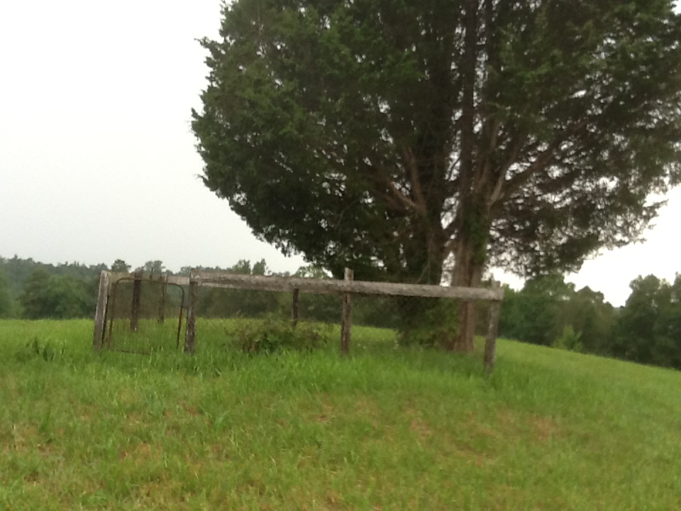
| Description | : | GPS:37-07.090n and -84-23.204w. Hwy 80e to right on Hwy1675 pass Acorn Community abt 2m turn right up hill on ECem Rd 1.8 mi. Right on E Cottongim Cem Rd all the way to the end .6 mi passing John Petercheff res at 575 E Cottongim Cem Rd (Acorn) Somerset. Thru the tree break out into a field. You can see a huge evergreen now treelike shrub on next knoll on right .2m. No sign yet on the 15x15 fenced cem. John and Lydia Cornett Cottongim are the only stones inside the fence. ... Read More |
frequently asked questions (FAQ):
-
Where is Cottongim Cornett Family Cemetery?
Cottongim Cornett Family Cemetery is located at Acorn, Pulaski County ,Kentucky ,USA.
-
Cottongim Cornett Family Cemetery cemetery's updated grave count on graveviews.com?
0 memorials
-
Where are the coordinates of the Cottongim Cornett Family Cemetery?
Latitude: 37.1181667
Longitude: -84.3867333
Nearby Cemetories:
1. Acorn Church Of God Chapel Cemetery
Acorn, Pulaski County, USA
Coordinate: 37.1268806, -84.3695831
2. Whitis Cemetery
Acorn, Pulaski County, USA
Coordinate: 37.1328710, -84.4005000
3. New Hope Baptist Cemetery
Bent, Pulaski County, USA
Coordinate: 37.1125984, -84.4446030
4. Hargis Family Cemetery
Dykes, Pulaski County, USA
Coordinate: 37.0872345, -84.4308167
5. Dugger Cemetery
Ano, Pulaski County, USA
Coordinate: 37.1215897, -84.3228073
6. Bradley Family Cemetery
Dykes, Pulaski County, USA
Coordinate: 37.0789719, -84.4307709
7. Bradley Cemetery
Pulaski County, USA
Coordinate: 37.0788994, -84.4308014
8. Adkins Cemetery
Pulaski County, USA
Coordinate: 37.1293411, -84.3171616
9. Chaney Cemetery
Ano, Pulaski County, USA
Coordinate: 37.1105995, -84.3155975
10. Old Providence Cemetery
Dykes, Pulaski County, USA
Coordinate: 37.0585360, -84.4083880
11. Conrard Cemetery
Conrard, Pulaski County, USA
Coordinate: 37.1786499, -84.3589096
12. Cedar Gap Cemetery
Dahl, Pulaski County, USA
Coordinate: 37.1731100, -84.4300370
13. Eaton Cemetery
Pulaski County, USA
Coordinate: 37.1772003, -84.4214020
14. Stogsdill Cemetery
Dahl, Pulaski County, USA
Coordinate: 37.1823311, -84.4062500
15. Jesse Adkins Cemetery
Dahl, Pulaski County, USA
Coordinate: 37.1755600, -84.4308517
16. Friendship Methodist Church Cemetery
Pulaski County, USA
Coordinate: 37.0578690, -84.4243698
17. Dyer Cemetery
Dahl, Pulaski County, USA
Coordinate: 37.1803589, -84.4261627
18. Bullock Cemetery
Pulaski County, USA
Coordinate: 37.1917000, -84.3977966
19. Renfro Cemetery
Dahl, Pulaski County, USA
Coordinate: 37.1833000, -84.4332962
20. Bullock Cemetery #2
Dahl, Pulaski County, USA
Coordinate: 37.1947950, -84.4045670
21. Boyd Family Cemetery
Dykes, Pulaski County, USA
Coordinate: 37.0393167, -84.4044167
22. Clonch Cemetery
Pulaski County, USA
Coordinate: 37.1862170, -84.4616830
23. Cooper Cemetery
Pulaski County, USA
Coordinate: 37.2086945, -84.3668823
24. Garson Cemetery
Pulaski County, USA
Coordinate: 37.0292015, -84.3561020