
| Memorials | : | 3 |
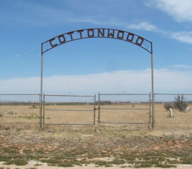
| Location | : | Duke, Jackson County, USA |
| Coordinate | : | 34.6377983, -99.6203003 |
| Description | : | Directions: From Altus, Jackson County, Oklahoma - West on Highway 62 approximately 10 miles through the town of Duke, OK. Continue W on Highway 62 past the American Gypsum plant. Turn South on the first dirt road past the plant. Go South approximately 2 miles. A sign is located on the east side of the road indicating "Cemetery". |
frequently asked questions (FAQ):
-
Where is Cottonwood Cemetery?
Cottonwood Cemetery is located at Duke, Jackson County ,Oklahoma , 75321USA.
-
Cottonwood Cemetery cemetery's updated grave count on graveviews.com?
3 memorials
-
Where are the coordinates of the Cottonwood Cemetery?
Latitude: 34.6377983
Longitude: -99.6203003
Nearby Cemetories:
1. Duke Cemetery
Duke, Jackson County, USA
Coordinate: 34.6514015, -99.5535965
2. Prairie Hill Cemetery
Jackson County, USA
Coordinate: 34.5944977, -99.5449753
3. Guffin Cemetery
Duke, Jackson County, USA
Coordinate: 34.6466780, -99.5282150
4. Rock Cemetery
Duke, Jackson County, USA
Coordinate: 34.7089005, -99.5811005
5. Liberty Cemetery
Gould, Harmon County, USA
Coordinate: 34.6232986, -99.7525024
6. Russell Cemetery
Russell, Greer County, USA
Coordinate: 34.7550011, -99.6671982
7. Gould Cemetery
Gould, Harmon County, USA
Coordinate: 34.6808014, -99.7699966
8. Aaron Cemetery
Olustee, Jackson County, USA
Coordinate: 34.5793991, -99.4653015
9. Joel Moseley Gravesite
Jackson County, USA
Coordinate: 34.5943200, -99.4557400
10. Pleasant Hill Cemetery
Gould, Harmon County, USA
Coordinate: 34.5217018, -99.7347031
11. Victory Cemetery
Altus, Jackson County, USA
Coordinate: 34.6380997, -99.4372025
12. Ladessa Cemetery
Greer County, USA
Coordinate: 34.7969017, -99.5622025
13. Eldorado Cemetery
Eldorado, Jackson County, USA
Coordinate: 34.4589005, -99.6557999
14. Louis Cemetery
Louis, Harmon County, USA
Coordinate: 34.5607986, -99.8281021
15. Odema Cemetery
Eldorado, Jackson County, USA
Coordinate: 34.4486008, -99.5678024
16. Dryden Cemetery
Hollis, Harmon County, USA
Coordinate: 34.7401100, -99.8225000
17. Railroad Cemetery
Eldorado, Jackson County, USA
Coordinate: 34.4492200, -99.6913500
18. Lanford Cemetery
Greer County, USA
Coordinate: 34.8264885, -99.7136307
19. Wildcat Cemetery
Greer County, USA
Coordinate: 34.8260994, -99.7189026
20. Frazier Cemetery
Altus, Jackson County, USA
Coordinate: 34.6302986, -99.3688965
21. Olustee Cemetery
Olustee, Jackson County, USA
Coordinate: 34.5222015, -99.4049988
22. Antioch Cemetery
Eldorado, Jackson County, USA
Coordinate: 34.4356003, -99.7067032
23. Martha Cemetery
Martha, Jackson County, USA
Coordinate: 34.7182999, -99.3775024
24. Carmel Cemetery
Jackson County, USA
Coordinate: 34.4342003, -99.4894028