| Memorials | : | 66 |
| Location | : | Monona, Clayton County, USA |
| Coordinate | : | 43.0718994, -91.3000031 |
frequently asked questions (FAQ):
-
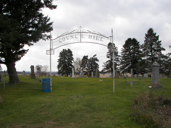
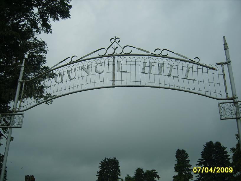
Where is Council Hill Cemetery?
Council Hill Cemetery is located at Monona, Clayton County ,Iowa ,USA.
-
Council Hill Cemetery cemetery's updated grave count on graveviews.com?
65 memorials
-
Where are the coordinates of the Council Hill Cemetery?
Latitude: 43.0718994
Longitude: -91.3000031
Nearby Cemetories:
1. Saint Wenceslaus Cemetery
McGregor, Clayton County, USA
Coordinate: 43.0593987, -91.3142014
2. Railroad Employee Cemetery
Giard, Clayton County, USA
Coordinate: 43.0305395, -91.3140229
3. Ion Methodist Cemetery
Ion, Allamakee County, USA
Coordinate: 43.1134000, -91.2607000
4. Sixteen Cemetery
Allamakee County, USA
Coordinate: 43.1272202, -91.3127823
5. Knapp Cemetery
McGregor, Clayton County, USA
Coordinate: 43.0635000, -91.2213000
6. Monona Cemetery
Monona, Clayton County, USA
Coordinate: 43.0531006, -91.3799973
7. Cummings Plot
Volney, Allamakee County, USA
Coordinate: 43.0916484, -91.3834702
8. Saint Paul Lutheran Cemetery
Monona, Clayton County, USA
Coordinate: 43.0494385, -91.3847198
9. Saint Patricks Cemetery
Monona, Clayton County, USA
Coordinate: 43.0496000, -91.3850000
10. Baylis Cemetery
McGregor, Clayton County, USA
Coordinate: 43.0633160, -91.1959630
11. Giard Cemetery
Farmersburg, Clayton County, USA
Coordinate: 42.9933014, -91.3080978
12. Volney Cemetery
Allamakee County, USA
Coordinate: 43.1305618, -91.3722229
13. Smithfield Cemetery
Volney, Allamakee County, USA
Coordinate: 43.1255989, -91.3899994
14. Pleasant Grove Cemetery
McGregor, Clayton County, USA
Coordinate: 43.0266991, -91.1949997
15. Buell Park Cemetery
Mendon Township, Clayton County, USA
Coordinate: 43.0168226, -91.1999590
16. Eastman Cemetery
McGregor, Clayton County, USA
Coordinate: 43.0010000, -91.2190000
17. Walton Cemetery
McGregor, Clayton County, USA
Coordinate: 43.0216270, -91.1909350
18. Spaulding Cemetery
Waukon Junction, Allamakee County, USA
Coordinate: 43.1130090, -91.1829510
19. Cherry Mound Cemetery
Harpers Ferry, Allamakee County, USA
Coordinate: 43.1666718, -91.2791672
20. Saint Pius at Cherry Mound Catholic Cemetery
Allamakee County, USA
Coordinate: 43.1672211, -91.2802811
21. Saint Marys Catholic Church Cemetery
McGregor, Clayton County, USA
Coordinate: 43.0213735, -91.1834632
22. Bismark Cemetery
Farmersburg, Clayton County, USA
Coordinate: 42.9790000, -91.3500000
23. Maple Hill Cemetery
Rossville, Allamakee County, USA
Coordinate: 43.1707560, -91.3472390
24. Glover Plot Cemetery
Allamakee County, USA
Coordinate: 43.1333313, -91.1833267


