
| Memorials | : | 0 |
| Location | : | Dyer County, USA |
| Coordinate | : | 36.0690180, -89.3655180 |
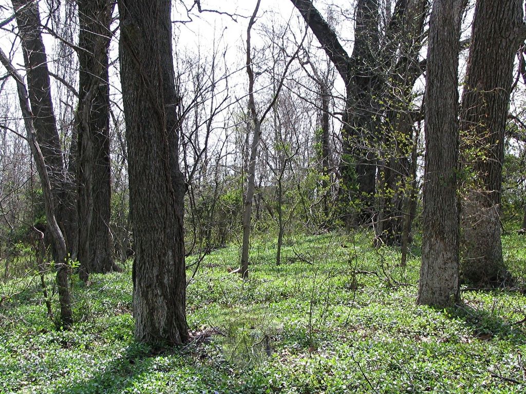
| Description | : | From the intersection of TN-78 S & US-51, North of Dyersburg, travel South on TN-78 S for 0.3 mi.; turning East (left) onto Mall Blvd., going 0.9 mi.; turning North (left) onto Co Rd. 229/Millsfield Hwy, going 0.2 mi.; turning East (right) onto Community Park Rd., going 0.3 mi.; turning North (left) onto Hurricane Hill Rd., going 0.3 mi.; turning East (right) onto Youth Home Rd., going 0.2 mi., to the end & park. This long ignored cemetery is about 200 yards to the East, within a sparsely wooded area, as notated on USGS topo maps. |
frequently asked questions (FAQ):
-
Where is County Farm Cemetery?
County Farm Cemetery is located at 298 Youth Home Road Dyer County ,Tennessee ,USA.
-
County Farm Cemetery cemetery's updated grave count on graveviews.com?
0 memorials
-
Where are the coordinates of the County Farm Cemetery?
Latitude: 36.0690180
Longitude: -89.3655180
Nearby Cemetories:
1. Henry Fowlkes Family Cemetery
Dyersburg, Dyer County, USA
Coordinate: 36.0671560, -89.3450870
2. Dyer County Memorial Gardens
Dyersburg, Dyer County, USA
Coordinate: 36.0700989, -89.3384018
3. Shaw Cemetery (Defunct)
Dyersburg, Dyer County, USA
Coordinate: 36.0470570, -89.3618540
4. Clark Cemetery
Dyersburg, Dyer County, USA
Coordinate: 36.0462440, -89.3671680
5. Fairview Cemetery
Dyersburg, Dyer County, USA
Coordinate: 36.0455580, -89.3715060
6. Fairview Cemetery II
Dyersburg, Dyer County, USA
Coordinate: 36.0462700, -89.3752550
7. Hurricane Hill Cemetery
Dyersburg, Dyer County, USA
Coordinate: 36.0965690, -89.3690820
8. Memorial Park Cemetery
Dyersburg, Dyer County, USA
Coordinate: 36.0358009, -89.3581009
9. Dyersburg City Cemetery
Dyersburg, Dyer County, USA
Coordinate: 36.0312996, -89.3786011
10. Fowlkes Cemetery
Dyersburg, Dyer County, USA
Coordinate: 36.0303100, -89.3578170
11. Roark Family Cemetery
Dyersburg, Dyer County, USA
Coordinate: 36.0453900, -89.4050800
12. Saint Mary's Episcopal Church Columbarium
Dyersburg, Dyer County, USA
Coordinate: 36.0335710, -89.3905220
13. Ferguson Family Cemetery
Dyersburg, Dyer County, USA
Coordinate: 36.0410400, -89.4044200
14. Hopewell Church Cemetery
Millsfield, Dyer County, USA
Coordinate: 36.1123790, -89.3812440
15. Jenkins Cemetery
Dyersburg, Dyer County, USA
Coordinate: 36.0594520, -89.4205330
16. Williams-Holland Cemetery
Jenkinsville, Dyer County, USA
Coordinate: 36.0507000, -89.4185000
17. Sawyer Cemetery
Newbern, Dyer County, USA
Coordinate: 36.0549210, -89.3092660
18. Holland Family Cemetery
Dyersburg, Dyer County, USA
Coordinate: 36.0500000, -89.4200000
19. Friendship Church Cemetery
Nauvoo, Dyer County, USA
Coordinate: 36.0985730, -89.4143830
20. Mount Hope Church Cemetery
Jenkinsville, Dyer County, USA
Coordinate: 36.0675540, -89.4271090
21. Parker Cemetery
Jenkinsville, Dyer County, USA
Coordinate: 36.0669500, -89.4271380
22. Walker Cemetery
RoEllen, Dyer County, USA
Coordinate: 36.0440510, -89.3011120
23. Oak Grove Cemetery
Dyer County, USA
Coordinate: 36.1077995, -89.4293976
24. Gauldin Cemetery
Newbern, Dyer County, USA
Coordinate: 36.0760330, -89.2854800