| Memorials | : | 0 |
| Location | : | Shenandoah, Page County, USA |
| Coordinate | : | 38.4899250, -78.6235830 |
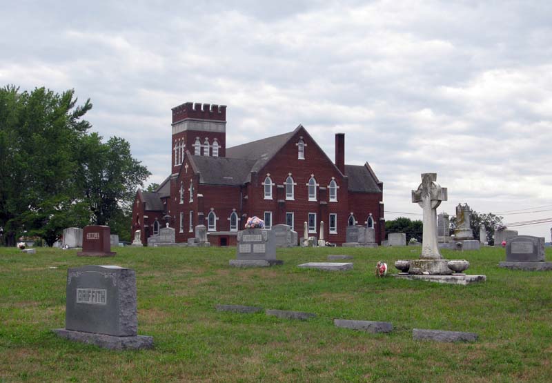
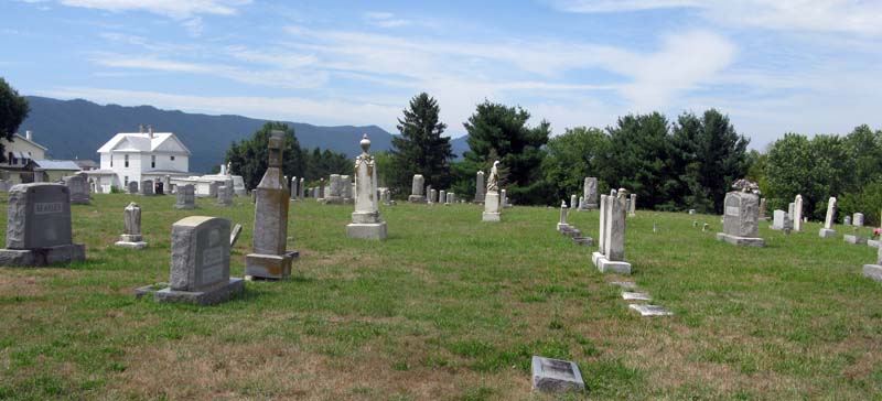
| Description | : | This cemetery is located in the Township of Shenadoah being in Page County. St Peters Lutheran Church is adjacent to the cemetery. Page County, VA GIS Tax Map #: 102A3-A-14 Owner: CEMETERY EUB Area: 4.19 Acres |
frequently asked questions (FAQ):
-
Where is Coverstone Cemetery?
Coverstone Cemetery is located at 4th Street (Rt. 340) Shenandoah, Page County ,Virginia , 22849USA.
-
Coverstone Cemetery cemetery's updated grave count on graveviews.com?
0 memorials
-
Where are the coordinates of the Coverstone Cemetery?
Latitude: 38.4899250
Longitude: -78.6235830
Nearby Cemetories:
1. Rest Haven Cemetery
Shenandoah, Page County, USA
Coordinate: 38.4904520, -78.6226570
2. Fields Methodist Episcopal Church Cemetery
Shenandoah, Page County, USA
Coordinate: 38.4823310, -78.6245920
3. Rinaca Cemetery
Shenandoah, Page County, USA
Coordinate: 38.5038986, -78.6421967
4. Long Cemetery
Shenandoah, Page County, USA
Coordinate: 38.5042470, -78.6418840
5. Mount Lebanon Church of Christ Cemetery
Comertown, Page County, USA
Coordinate: 38.4982500, -78.5911220
6. Victory Baptist Church Cemetery
Shenandoah, Page County, USA
Coordinate: 38.4924541, -78.5888695
7. Comer Family Cemetery
Comertown, Page County, USA
Coordinate: 38.5128002, -78.5909539
8. Grove Hill Cemetery
Grove Hill, Page County, USA
Coordinate: 38.5292015, -78.6130981
9. Sam Comer Cemetery
Page County, USA
Coordinate: 38.5249572, -78.5810843
10. Comer Cemetery
Shenandoah, Page County, USA
Coordinate: 38.5250330, -78.5810390
11. William Dovel Cemetery
Grove Hill, Page County, USA
Coordinate: 38.5442780, -78.5852780
12. Saint Pauls Cemetery
Page County, USA
Coordinate: 38.5511017, -78.6074982
13. Blue Ridge Pentecostal Church Cemetery
Stanley, Page County, USA
Coordinate: 38.5419800, -78.5453400
14. Jollett United Methodist Church Cemetery
Jollett, Page County, USA
Coordinate: 38.4660250, -78.5228940
15. Keyser Family Graveyard
Alma, Page County, USA
Coordinate: 38.5702222, -78.5900278
16. Cubbage Family Cemetery
Stanley, Page County, USA
Coordinate: 38.5255824, -78.5195239
17. Newport Christian Church Cemetery
Newport, Page County, USA
Coordinate: 38.5770166, -78.5966158
18. Samuels Cemetery
Page County, USA
Coordinate: 38.4599129, -78.5111646
19. Keyser Cemetery Dovel Hollow
Stanley, Page County, USA
Coordinate: 38.5627220, -78.5412500
20. Sandy Glaze Cemetery
Stanley, Page County, USA
Coordinate: 38.5612488, -78.5389271
21. Oak Family Cemetery
Honeyville, Page County, USA
Coordinate: 38.5771255, -78.5459972
22. Leake’s Chapel Cemetery
Stanley, Page County, USA
Coordinate: 38.5777550, -78.5468620
23. Koontz Cemetery
Honeyville, Page County, USA
Coordinate: 38.5887985, -78.5690689
24. Seekford Cemetery
Alma, Page County, USA
Coordinate: 38.5901130, -78.5606970


