
| Memorials | : | 2 |
| Location | : | Randolph County, USA |
| Coordinate | : | 38.5381012, -80.1457977 |
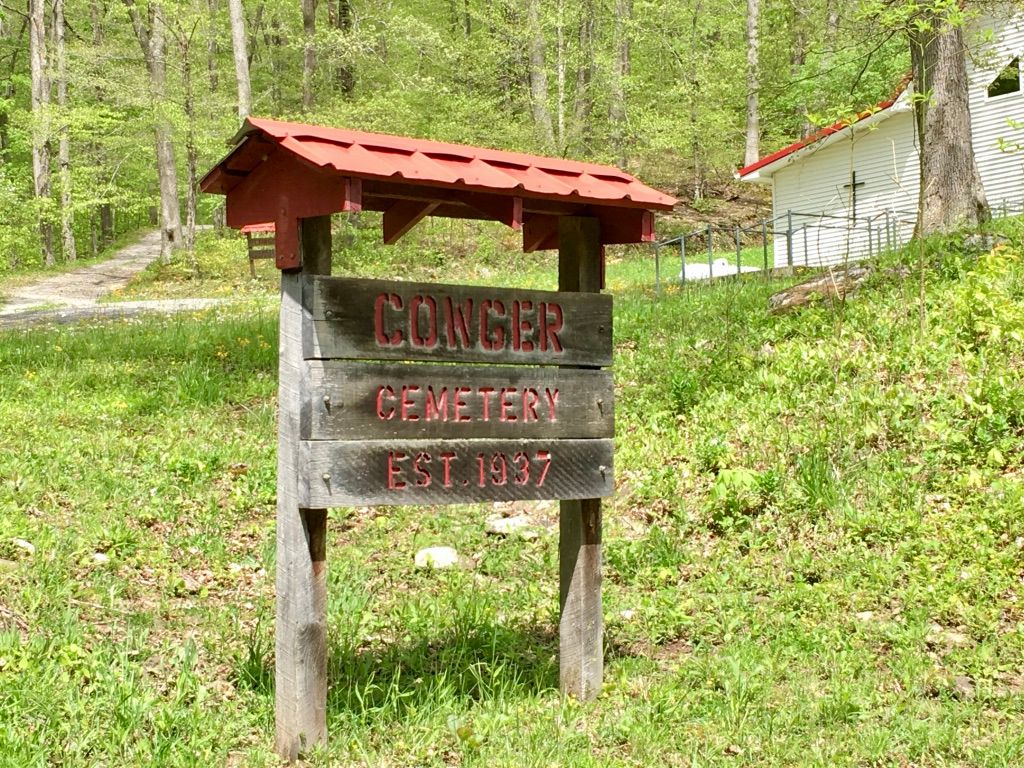
| Description | : | From the intersection of route 219 and route 15 at Valley Head, West Virginia, take route 15 west for 3.8 miles. Turn left onto Valley Fork Road at this point and travel 3.9 miles on it. Cemetery sign and road to the cemetery are on the right. Follow the somewhat steep cemetery road 1/10 of a mile to the top of the hill, cemetery is located on the left of the road. Elevation is 2,389 feet. Cemetery is located at: 38-32' 16.95" N 80-08' 40.04" W. |
frequently asked questions (FAQ):
-
Where is Cowger Cemetery?
Cowger Cemetery is located at Randolph County ,West Virginia ,USA.
-
Cowger Cemetery cemetery's updated grave count on graveviews.com?
2 memorials
-
Where are the coordinates of the Cowger Cemetery?
Latitude: 38.5381012
Longitude: -80.1457977
Nearby Cemetories:
1. Hight Cemetery
Blue Spring, Randolph County, USA
Coordinate: 38.5382800, -80.1305800
2. Conrad Family Cemetery
Blue Spring, Randolph County, USA
Coordinate: 38.5394550, -80.1643490
3. Bonner Cemetery
Randolph County, USA
Coordinate: 38.5168540, -80.1430650
4. Homer Riggleman Cemetery
Monterville, Randolph County, USA
Coordinate: 38.5391500, -80.1041083
5. French Riggleman Cemetery
Monterville, Randolph County, USA
Coordinate: 38.5457222, -80.1051444
6. Hamrick Cemetery
Bergoo, Webster County, USA
Coordinate: 38.5260000, -80.1922290
7. Martin Riggleman Cemetery
Monterville, Randolph County, USA
Coordinate: 38.5393889, -80.0915417
8. Jacob Swadley Gravesite
Monterville, Randolph County, USA
Coordinate: 38.5441290, -80.0888110
9. Peter Hamrick Cemetery
Bergoo, Webster County, USA
Coordinate: 38.5187900, -80.2026700
10. Hevener Cemetery
Monterville, Randolph County, USA
Coordinate: 38.5220570, -80.0855400
11. Stalnaker Cemetery
Monterville, Randolph County, USA
Coordinate: 38.5741997, -80.0924988
12. Swecker Cemetery
Brady Gate, Randolph County, USA
Coordinate: 38.5425390, -80.0680680
13. Mingo Cemetery
Mingo, Randolph County, USA
Coordinate: 38.4975300, -80.0580000
14. Beale Cemetery
Pocahontas County, USA
Coordinate: 38.4589611, -80.0862833
15. See Cemetery
Randolph County, USA
Coordinate: 38.6044630, -80.0276990
16. Sacred Heart Catholic Cemetery
Pickens, Randolph County, USA
Coordinate: 38.6431870, -80.2116660
17. Meadowland Cemetery
Bergoo, Webster County, USA
Coordinate: 38.4902992, -80.2944031
18. Pickens Cemetery
Pickens, Randolph County, USA
Coordinate: 38.6582985, -80.2007980
19. Point Mountain Cemetery
Webster Springs, Webster County, USA
Coordinate: 38.5236140, -80.3089850
20. Jonathan Crouch Cemetery
Huttonsville, Randolph County, USA
Coordinate: 38.6294920, -80.0265080
21. Hicks Cemetery
Randolph County, USA
Coordinate: 38.6688995, -80.1592026
22. George Rashid Burial Site
Pickens, Randolph County, USA
Coordinate: 38.6604220, -80.2169790
23. Hamilton Cemetery
Elkwater, Randolph County, USA
Coordinate: 38.6336610, -80.0226450
24. Varner Cemetery
Linwood, Pocahontas County, USA
Coordinate: 38.4117012, -80.0785980