| Memorials | : | 0 |
| Location | : | Huntington, Emery County, USA |
| Coordinate | : | 39.4599991, -111.1676407 |
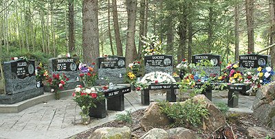
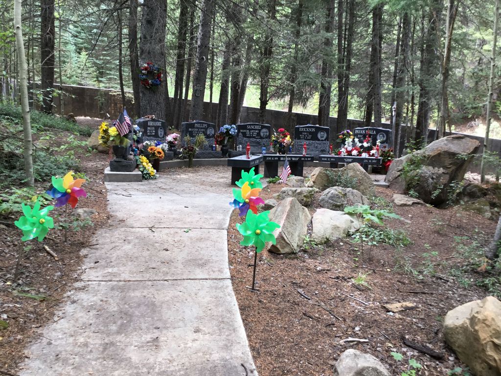
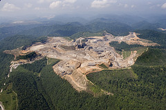
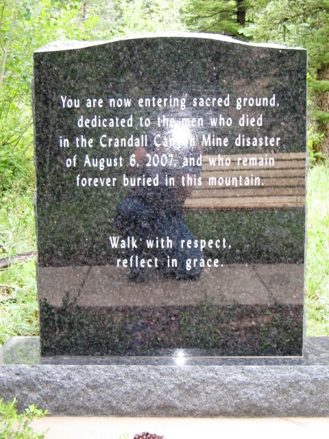
| Description | : | The Crandall Canyon Mine is located in Emery County, Utah, about 15 miles north-west of Huntington, just off Utah State Route 31. The Manti-La Sal National Forest surrounds the mine. The mine conducts surface operations on 10 acres of disturbed land within the forest. The mine is co-owned by UtahAmerican Energy, Inc. headquartered in Sandy, Utah. UtahAmerican is a subsidiary of the Cleveland, Ohio based Murray Energy Corporation, owned by Robert E. Murray. The Crandall Canyon mine is operated by Genwal Resources Inc., an operating division of UtahAmerican. Another co-owner is the Intermountain Power Agency of South Jordan,... Read More |
frequently asked questions (FAQ):
-
Where is Crandall Canyon Mine?
Crandall Canyon Mine is located at Huntington, Emery County ,Utah ,USA.
-
Crandall Canyon Mine cemetery's updated grave count on graveviews.com?
0 memorials
-
Where are the coordinates of the Crandall Canyon Mine?
Latitude: 39.4599991
Longitude: -111.1676407
Nearby Cemetories:
1. Hiawatha Cemetery
Hiawatha, Carbon County, USA
Coordinate: 39.4863000, -111.0113000
2. Huntington City Cemetery
Huntington, Emery County, USA
Coordinate: 39.3375015, -110.9749985
3. Mount Pleasant City Cemetery
Mount Pleasant, Sanpete County, USA
Coordinate: 39.5335999, -111.4527969
4. Tucker Family Cemetery
Cleveland, Emery County, USA
Coordinate: 39.3610000, -110.8881000
5. Orangeville City Cemetery
Orangeville, Emery County, USA
Coordinate: 39.2317009, -111.0686035
6. Lawrence Cemetery
Lawrence, Emery County, USA
Coordinate: 39.2983017, -110.9235992
7. Spring City Pioneer Cemetery
Spring City, Sanpete County, USA
Coordinate: 39.4813100, -111.4936800
8. Castle Dale City Cemetery
Castle Dale, Emery County, USA
Coordinate: 39.2214012, -111.0196991
9. Scofield Cemetery
Scofield, Carbon County, USA
Coordinate: 39.7257996, -111.1560974
10. Spring City Cemetery
Spring City, Sanpete County, USA
Coordinate: 39.4803009, -111.5149994
11. Cleveland Cemetery
Cleveland, Emery County, USA
Coordinate: 39.3525009, -110.8431015
12. Fairview Pioneer Cemetery
Fairview, Sanpete County, USA
Coordinate: 39.6361351, -111.4523926
13. Fairview Upper Cemetery
Fairview, Sanpete County, USA
Coordinate: 39.6359200, -111.4547800
14. Elmo Cemetery
Elmo, Emery County, USA
Coordinate: 39.3857994, -110.8078003
15. Chester Cemetery
Sanpete County, USA
Coordinate: 39.4824000, -111.5488000
16. Gorley Cemetery
Price, Carbon County, USA
Coordinate: 39.6401142, -110.8617023
17. Whitmore Cemetery
Price, Carbon County, USA
Coordinate: 39.6003200, -110.8192400
18. Grames-Powell Cemetery
Price, Carbon County, USA
Coordinate: 39.6006500, -110.8193700
19. Carbonville Cemetery
Carbonville, Carbon County, USA
Coordinate: 39.6332890, -110.8443500
20. Central Cemetery
Spring Glen, Carbon County, USA
Coordinate: 39.6516991, -110.8602982
21. Haycock Cemetery
Spring Glen, Carbon County, USA
Coordinate: 39.6516991, -110.8383026
22. Spring Glen Cemetery
Spring Glen, Carbon County, USA
Coordinate: 39.6688995, -110.8553009
23. Mead Cemetery
Price, Carbon County, USA
Coordinate: 39.5917015, -110.7908020
24. Price City Cemetery
Price, Carbon County, USA
Coordinate: 39.6094017, -110.7992020


