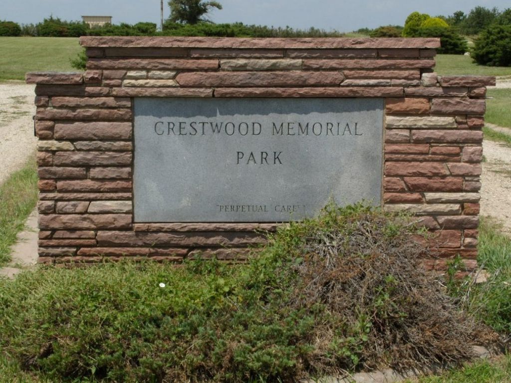
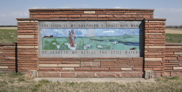
| Memorials | : | 10 |
| Location | : | McPherson, McPherson County, USA |
| Coordinate | : | 38.4500008, -97.6583023 |
frequently asked questions (FAQ):
-
Where is Crestwood Memorial Park?
Crestwood Memorial Park is located at McPherson, McPherson County ,Kansas ,USA.
-
Crestwood Memorial Park cemetery's updated grave count on graveviews.com?
10 memorials
-
Where are the coordinates of the Crestwood Memorial Park?
Latitude: 38.4500008
Longitude: -97.6583023
Nearby Cemetories:
1. New Gottland Cemetery
McPherson County, USA
Coordinate: 38.4390520, -97.6098990
2. Koons Cemetery
Lindsborg, McPherson County, USA
Coordinate: 38.5072100, -97.6298900
3. Company D 2nd Kansas Infantry World War I Memorial
McPherson, McPherson County, USA
Coordinate: 38.3700500, -97.6696000
4. McPherson Town Museum
McPherson, McPherson County, USA
Coordinate: 38.3697100, -97.6504160
5. McPherson Cemetery
McPherson, McPherson County, USA
Coordinate: 38.3630981, -97.6430969
6. Kentucky Creek Cemetery
New Gottland, McPherson County, USA
Coordinate: 38.5454300, -97.6154890
7. Fairview Cemetery
McPherson County, USA
Coordinate: 38.4389000, -97.8058014
8. Suncrest Mennonite Cemetery
Galva, McPherson County, USA
Coordinate: 38.3685500, -97.5378000
9. Elmwood Cemetery
Lindsborg, McPherson County, USA
Coordinate: 38.5783005, -97.6583023
10. Freemount Lutheran Church Cemetery
Freemount, McPherson County, USA
Coordinate: 38.5395730, -97.7777520
11. Christian Ridge Cemetery
McPherson County, USA
Coordinate: 38.5512200, -97.5423000
12. Zion Cemetery
Bonaville Township, McPherson County, USA
Coordinate: 38.5510600, -97.5419000
13. Stephens Cemetery
McPherson, McPherson County, USA
Coordinate: 38.5395430, -97.7921990
14. United Center Church Cemetery
Galva, McPherson County, USA
Coordinate: 38.4069810, -97.4821720
15. Excelsior Cemetery
Marquette, McPherson County, USA
Coordinate: 38.4639015, -97.8522034
16. Empire Cemetery
Galva, McPherson County, USA
Coordinate: 38.3403015, -97.5192032
17. Dunkard Church Cemetery
Galva, McPherson County, USA
Coordinate: 38.3497009, -97.5006027
18. Smoky Hill Cemetery
Saline County, USA
Coordinate: 38.6094017, -97.7022018
19. Groveland Cemetery
McPherson County, USA
Coordinate: 38.3182983, -97.7869034
20. Monitor Church of the Brethren Cemetery
McPherson, McPherson County, USA
Coordinate: 38.3334750, -97.8141640
21. Windom Cemetery
Windom, McPherson County, USA
Coordinate: 38.3842010, -97.8694000
22. Elim Lutheran Cemetery
Marquette, McPherson County, USA
Coordinate: 38.5586930, -97.8426660
23. Rose Hill Cemetery
Saline County, USA
Coordinate: 38.6307983, -97.6500015
24. Marquette Cemetery
Marquette, McPherson County, USA
Coordinate: 38.5667000, -97.8360977


