
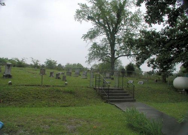
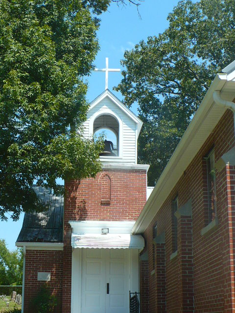
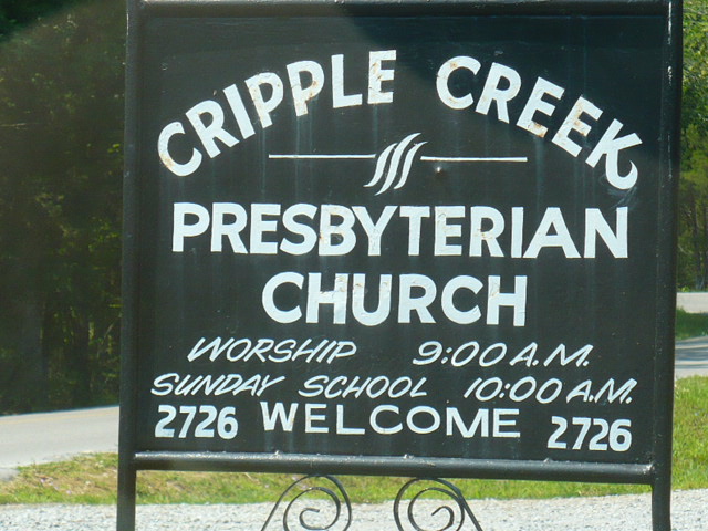
| Memorials | : | 1 |
| Location | : | Floraton, Rutherford County, USA |
| Coordinate | : | 35.7783012, -86.2133026 |
frequently asked questions (FAQ):
-
Where is Cripple Creek Cemetery?
Cripple Creek Cemetery is located at Floraton, Rutherford County ,Tennessee ,USA.
-
Cripple Creek Cemetery cemetery's updated grave count on graveviews.com?
1 memorials
-
Where are the coordinates of the Cripple Creek Cemetery?
Latitude: 35.7783012
Longitude: -86.2133026
Nearby Cemetories:
1. Francis Youree Cemetery
Rutherford County, USA
Coordinate: 35.7724991, -86.2197037
2. Herrod Cemetery
Rutherford County, USA
Coordinate: 35.7907982, -86.2324982
3. Ashley Cemetery
Floraton, Rutherford County, USA
Coordinate: 35.7694016, -86.2358017
4. Youree Cemetery
Floraton, Rutherford County, USA
Coordinate: 35.7803001, -86.2461014
5. Lassiter Cemetery
Cannon County, USA
Coordinate: 35.7811012, -86.1755981
6. Donnell Chapel
Donnell Chapel, Rutherford County, USA
Coordinate: 35.7464350, -86.2208420
7. Herrod Cemetery
Rutherford County, USA
Coordinate: 35.8097000, -86.2256012
8. Donnell Cemetery
Rutherford County, USA
Coordinate: 35.7442017, -86.2221985
9. Hoover Cemetery
Rutherford County, USA
Coordinate: 35.8025017, -86.1819000
10. Curlee Cemetery
Cannon County, USA
Coordinate: 35.7799988, -86.1631012
11. Taylor Cemetery
Jamestown, Rutherford County, USA
Coordinate: 35.7360992, -86.2174988
12. Pallette Cemetery
Cannon County, USA
Coordinate: 35.7481003, -86.1722031
13. Hoover Cemetery
Dillton, Rutherford County, USA
Coordinate: 35.8116670, -86.2525000
14. Hoover Cemetery
Rutherford County, USA
Coordinate: 35.8116989, -86.2525024
15. Jones Cemetery
Rutherford County, USA
Coordinate: 35.8231010, -86.1875000
16. Cannon County Farm Cemetery
Cannon County, USA
Coordinate: 35.7897890, -86.1522920
17. Bowman Cemetery
Donnell Chapel, Rutherford County, USA
Coordinate: 35.7318993, -86.2391968
18. Saffel Cemetery
Cannon County, USA
Coordinate: 35.8067017, -86.1605988
19. Jacobs Cemetery
Donnell Chapel, Rutherford County, USA
Coordinate: 35.7315900, -86.2416100
20. Cateston Cemetery
Cannon County, USA
Coordinate: 35.7966995, -86.1511002
21. Brawleys Fork Cemetery
Readyville, Cannon County, USA
Coordinate: 35.8038902, -86.1524963
22. Brandon Cemetery
Cannon County, USA
Coordinate: 35.7891998, -86.1453018
23. Harrell Cemetery
Rutherford County, USA
Coordinate: 35.7207985, -86.2117004
24. Patton Cemetery
Cannon County, USA
Coordinate: 35.7430992, -86.1541977