| Memorials | : | 2136 |
| Location | : | Damascus, Columbiana County, USA |
| Coordinate | : | 40.8992004, -80.9511032 |
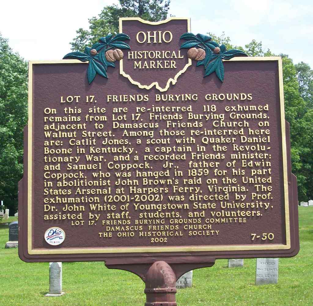
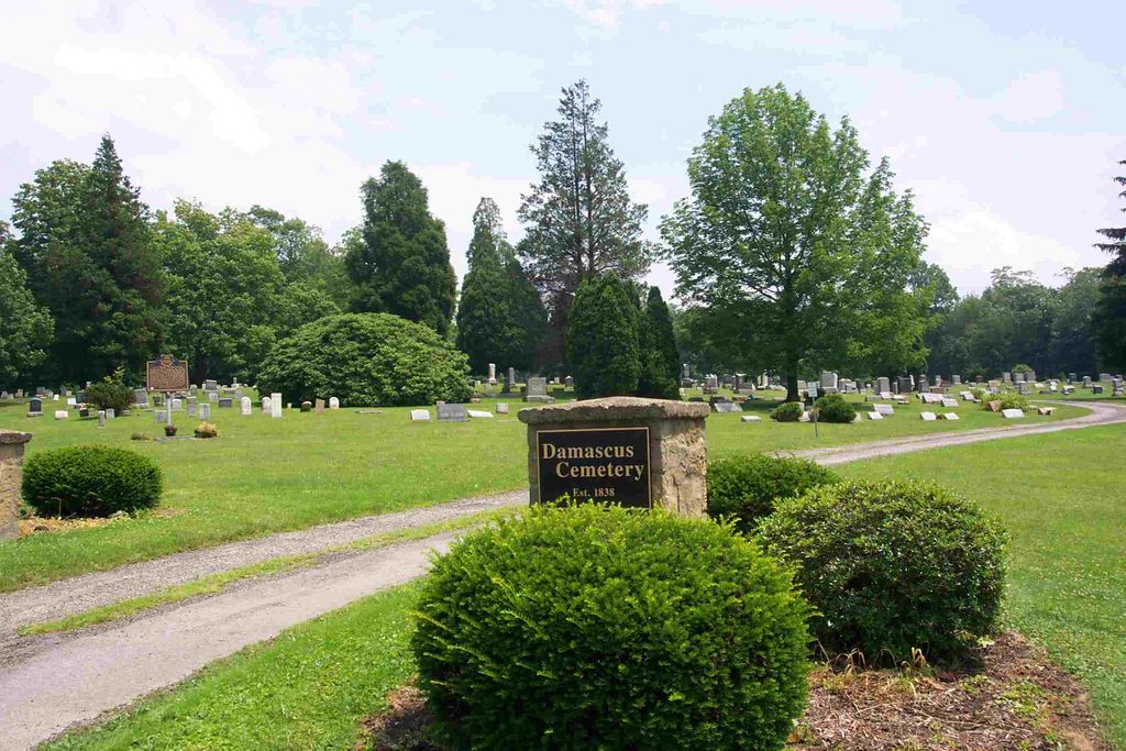
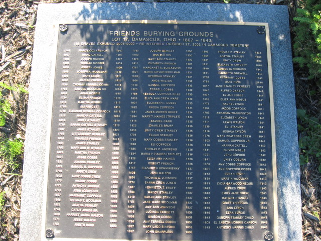
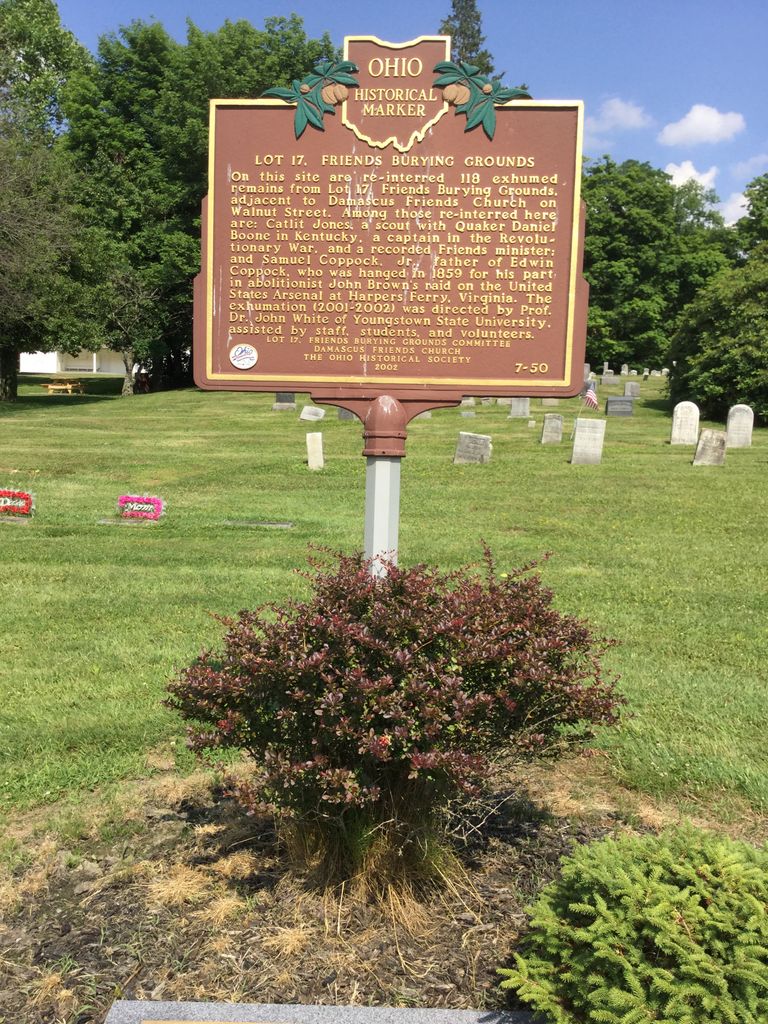
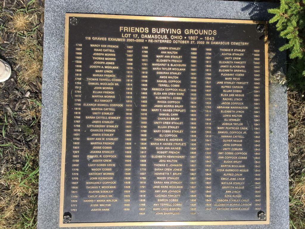
| Description | : | The cemetery is located on the east side of Valley Road / McCann Road (Township Road 405) about 0.1 mile south of its intersection with Salem-Alliance Road (US 62 / Ohio State Route 173). The cemetery was established in 1838 and is 7.6 acres in size. In 2001-2002, all of the remains from the Friends Burying Ground, Lot 17, next to the Damascus Friends Church were moved from that cemetery and re-interred in this cemetery. The cemetery is located in Butler Township, Columbiana County, Ohio, and is # 2040 (Damascus Cemetery) in “Ohio Cemeteries 1803-2003”, compiled by... Read More |
frequently asked questions (FAQ):
-
Where is Damascus Cemetery?
Damascus Cemetery is located at McCann Road / Valley Road (Township Road 405) Damascus, Columbiana County ,Ohio , 44460USA.
-
Damascus Cemetery cemetery's updated grave count on graveviews.com?
2117 memorials
-
Where are the coordinates of the Damascus Cemetery?
Latitude: 40.8992004
Longitude: -80.9511032
Nearby Cemetories:
1. Friends Burying Ground (Defunct)
Butler Township, Columbiana County, USA
Coordinate: 40.9005160, -80.9568310
2. Highland Memorial Park
Knox Township, Columbiana County, USA
Coordinate: 40.9010410, -81.0113983
3. East Goshen Friends Cemetery
East Goshen, Mahoning County, USA
Coordinate: 40.9460983, -80.9708023
4. Bethel Church Cemetery
Knox Township, Columbiana County, USA
Coordinate: 40.8727989, -81.0175018
5. Saint Michaels Cemetery
North Georgetown, Columbiana County, USA
Coordinate: 40.8436130, -80.9735680
6. North Georgetown Cemetery
North Georgetown, Columbiana County, USA
Coordinate: 40.8432999, -80.9819031
7. Grandview Cemetery
Sebring, Mahoning County, USA
Coordinate: 40.9042015, -81.0310974
8. Bunker Hill Cemetery
Beloit, Mahoning County, USA
Coordinate: 40.9592210, -80.9366900
9. Quaker Hill Cemetery
Sebring, Mahoning County, USA
Coordinate: 40.9158900, -81.0312000
10. Friends Burial Grounds
Salem, Columbiana County, USA
Coordinate: 40.8976460, -80.8572280
11. Hope Cemetery
Salem, Columbiana County, USA
Coordinate: 40.9096985, -80.8494034
12. Pentz Cemetery
Knox Township, Columbiana County, USA
Coordinate: 40.8870840, -81.0562440
13. Winona Friends Graveyard
Winona, Columbiana County, USA
Coordinate: 40.8289150, -80.8937190
14. King Cemetery
Butler Township, Columbiana County, USA
Coordinate: 40.8163986, -80.9539032
15. Grandview Cemetery
Salem, Columbiana County, USA
Coordinate: 40.8856010, -80.8405991
16. Reading Cemetery
Homeworth, Columbiana County, USA
Coordinate: 40.8372002, -81.0278015
17. Paupers Field
Salem, Columbiana County, USA
Coordinate: 40.8882050, -80.8388590
18. Kaylor Ridge Cemetery
Knox Township, Columbiana County, USA
Coordinate: 40.8374121, -81.0305028
19. Lumberton Cemetery
Mahoning County, USA
Coordinate: 40.9876500, -80.9449800
20. North Benton Cemetery
North Benton, Mahoning County, USA
Coordinate: 40.9806100, -81.0120400
21. New Albany Cemetery
New Albany, Mahoning County, USA
Coordinate: 40.9443640, -80.8388010
22. Bethel Methodist Episcopal Cemetery
Goshen Township, Mahoning County, USA
Coordinate: 40.9757800, -80.8655100
23. Temple Israel Cemetery
Alliance Junction, Mahoning County, USA
Coordinate: 40.9303400, -81.0778700
24. Hawk and Sanor Cemetery
North Georgetown, Columbiana County, USA
Coordinate: 40.8056330, -81.0012800

