
| Memorials | : | 0 |
| Location | : | Fork, Dillon County, USA |
| Coordinate | : | 34.3158200, -79.2934800 |
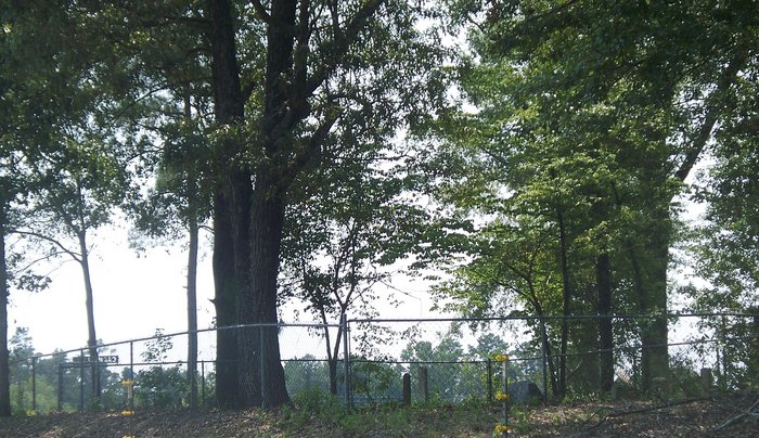
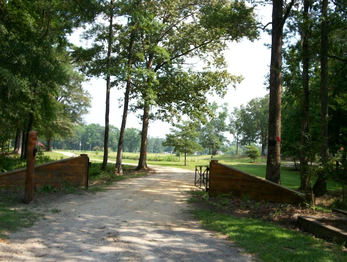
| Description | : | Private Property. The Calhouns currently own this property. Carmichael Cemetery - (Calhoun Farm - Formerly Sugar Mill?) Online source says located at Calhoun Farm, 1/4 mile southeast of Carmichael's Bridge, Fork Community, Dillon County According to what I have read, Carmichael's Bridge is where State Park Road (State Highway S-17-22) crosses the Little Pee Dee River. So, Carmichael's Bridge = 34.317391,-79.291368 http://sciway3.net/proctor/dillon/cemeteries/Carmichael3_cem_hist.html |
frequently asked questions (FAQ):
-
Where is Daniel Washington Carmichael Family Cemetery?
Daniel Washington Carmichael Family Cemetery is located at Fork, Dillon County ,South Carolina ,USA.
-
Daniel Washington Carmichael Family Cemetery cemetery's updated grave count on graveviews.com?
0 memorials
-
Where are the coordinates of the Daniel Washington Carmichael Family Cemetery?
Latitude: 34.3158200
Longitude: -79.2934800


Nearby Cemetories:
1. Harrelson Cemetery
Dillon County, USA
Coordinate: 34.3072014, -79.2861023
2. Warren Horn Cemetery
Fork, Dillon County, USA
Coordinate: 34.3044140, -79.2780300
3. Hayes Family Cemetery
Dillon, Dillon County, USA
Coordinate: 34.3057500, -79.3138000
4. Page Cemetery
Floydale, Dillon County, USA
Coordinate: 34.3060989, -79.3233032
5. Fore Cemetery
Dillon County, USA
Coordinate: 34.3431015, -79.3107986
6. Major Daniel Carmichael Cemetery
Fork, Dillon County, USA
Coordinate: 34.3289000, -79.2589100
7. McKenzie Cemetery
Dillon, Dillon County, USA
Coordinate: 34.3465500, -79.2850260
8. James Family Cemetery
Floydale, Dillon County, USA
Coordinate: 34.3421249, -79.3157120
9. Page's Cemetery
Floydale, Dillon County, USA
Coordinate: 34.3088112, -79.3327255
10. Roberts Tart Moody and Daniel Families Cemetery
Latta, Dillon County, USA
Coordinate: 34.2907300, -79.3212100
11. Roberts Cemetery
Dillon County, USA
Coordinate: 34.2909400, -79.3217600
12. Shiloh Cemetery
Fork, Dillon County, USA
Coordinate: 34.2822700, -79.2787200
13. Owens Cemetery
Fork, Dillon County, USA
Coordinate: 34.2813490, -79.2782210
14. Dunbarton Presbyterian Church Cemetery
Floydale, Dillon County, USA
Coordinate: 34.3078575, -79.3374557
15. Roberts Cemetery
Latta, Dillon County, USA
Coordinate: 34.2971764, -79.3328247
16. Smith Cemetery
Latta, Dillon County, USA
Coordinate: 34.2791328, -79.3083267
17. Smith Cemetery
Smithboro, Marion County, USA
Coordinate: 34.2773247, -79.3030472
18. Hopewell Cemetery
Fork, Dillon County, USA
Coordinate: 34.2803001, -79.2727966
19. McDuffie Family Cemetery
Fork, Dillon County, USA
Coordinate: 34.2798805, -79.2701950
20. Fork Baptist Church Cemetery
Fork, Dillon County, USA
Coordinate: 34.3011513, -79.2459793
21. Hayes Cemetery
Hayestown, Dillon County, USA
Coordinate: 34.3396600, -79.2479700
22. Mount Andrew Cemetery
Dillon County, USA
Coordinate: 34.3167152, -79.3474197
23. Fork Chapel Church Cemetery
Lake View, Dillon County, USA
Coordinate: 34.3465538, -79.2522583
24. Norman Cemetery
Dillon County, USA
Coordinate: 34.3620987, -79.2932968