
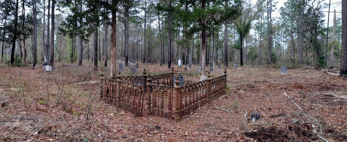
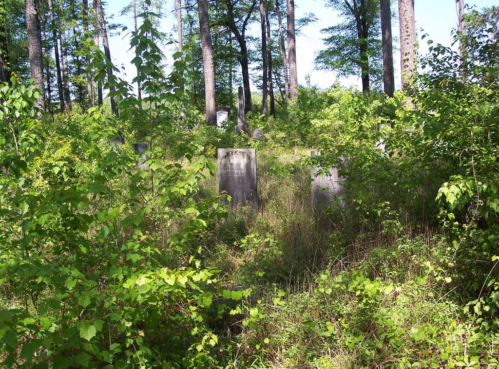
| Memorials | : | 0 |
| Location | : | Clarke County, USA |
| Coordinate | : | 31.4086200, -87.7684900 |
frequently asked questions (FAQ):
-
Where is Darrington James Cemetery?
Darrington James Cemetery is located at Clarke County ,Alabama ,USA.
-
Darrington James Cemetery cemetery's updated grave count on graveviews.com?
0 memorials
-
Where are the coordinates of the Darrington James Cemetery?
Latitude: 31.4086200
Longitude: -87.7684900

Nearby Cemetories:
1. New Canaan Cemetery
Clarke County, USA
Coordinate: 31.3903008, -87.7572021
2. Saint James A.M.E. Church Cemetery
Jackson, Clarke County, USA
Coordinate: 31.4198470, -87.7447990
3. New Saint Matthew Baptist Cemetery
Clarke County, USA
Coordinate: 31.4428910, -87.7572300
4. New Saint Matthew Baptist Church Cemetery
Jackson, Clarke County, USA
Coordinate: 31.4428800, -87.7570990
5. Saint Matthew Cemetery
Manila, Clarke County, USA
Coordinate: 31.4591840, -87.7739910
6. Antioch AME Church Cemetery
Gainestown, Clarke County, USA
Coordinate: 31.4559400, -87.7300890
7. George R. Hendree Gravesite
Gainestown Landing, Clarke County, USA
Coordinate: 31.4079000, -87.6982900
8. Rockville Baptist Church Cemetery
Jackson, Clarke County, USA
Coordinate: 31.4204970, -87.8429400
9. A.O.H. Church Cemetery
Gainestown, Clarke County, USA
Coordinate: 31.4693990, -87.7258470
10. Rodger Temple A.O.H. Church of God Cemetery
Gainestown, Clarke County, USA
Coordinate: 31.4694090, -87.7257880
11. Norris Cemetery
Gainestown, Clarke County, USA
Coordinate: 31.4425170, -87.6937670
12. Mount Gilead Baptist Church Cemetery
Carlton, Clarke County, USA
Coordinate: 31.3474110, -87.8155340
13. Good Hope AME Church Cemetery
Gainestown, Clarke County, USA
Coordinate: 31.4508950, -87.6933170
14. Jones Chapel Methodist Protestant Church Cemetery
Gainestown, Clarke County, USA
Coordinate: 31.4906020, -87.7567290
15. Gainestown Methodist Church Cemetery
Clarke County, USA
Coordinate: 31.4906930, -87.7521120
16. Perrys Chapel Cemetery
Alma, Clarke County, USA
Coordinate: 31.4911003, -87.7519989
17. Austill Cemetery
Rockville, Clarke County, USA
Coordinate: 31.4149440, -87.8710070
18. Bethel Cemetery
Jackson, Clarke County, USA
Coordinate: 31.4825510, -87.8312300
19. Mount Pleasant Methodist Church Cemetery
Eliska, Monroe County, USA
Coordinate: 31.3524500, -87.6831400
20. Carlton Cemetery
Carlton, Clarke County, USA
Coordinate: 31.3435210, -87.8454780
21. Eliska Community Cemetery
Eliska, Monroe County, USA
Coordinate: 31.3531250, -87.6809780
22. Cherry Cemetery
Clarke County, USA
Coordinate: 31.3788840, -87.8734590
23. Road Cemetery
Clarke County, USA
Coordinate: 31.4955997, -87.7213974
24. Shomo Cemetery
Monroe County, USA
Coordinate: 31.3360996, -87.6941986