| Memorials | : | 0 |
| Location | : | Sherrill, Jefferson County, USA |
| Coordinate | : | 34.3881700, -91.9666700 |
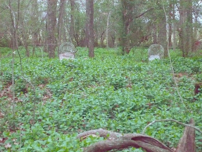
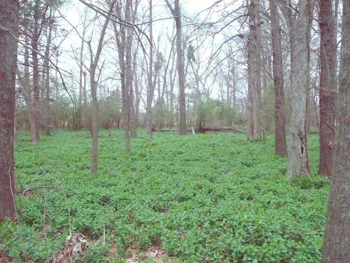
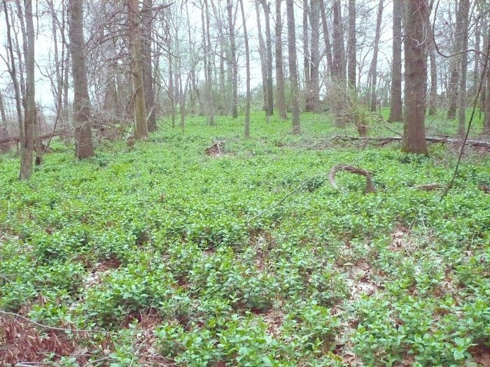
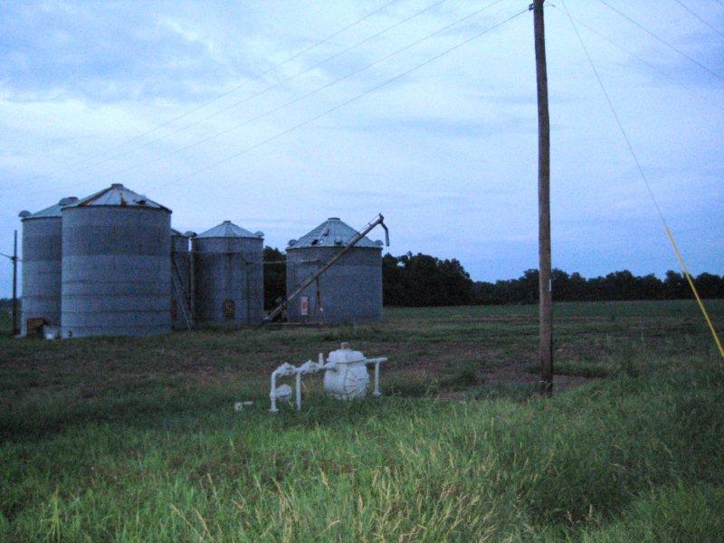
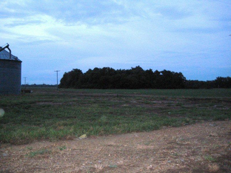
| Description | : | DAVIS CEMETERY: Located approximately 3/4 mile west of Sherrill, Jefferson, Arkansas, off Horseshoe Lake Road. A trio of grain silos marks the road location. The cemetery is found in a triangular stand of trees contained in a field on north side of Horseshoe Lake Road. It does not appear to be maintained at this time; ground is overgrown with seasonal foliage. Some headstones are standing while quite a few others are overturned, face down. Others are buried under ground and not accessible. There is a bear den hollowed out behind one of the headstones.... Read More |
frequently asked questions (FAQ):
-
Where is Davis Cemetery?
Davis Cemetery is located at Sherrill, Jefferson County ,Arkansas ,USA.
-
Davis Cemetery cemetery's updated grave count on graveviews.com?
0 memorials
-
Where are the coordinates of the Davis Cemetery?
Latitude: 34.3881700
Longitude: -91.9666700
Nearby Cemetories:
1. Sherrill Cemetery
Sherrill, Jefferson County, USA
Coordinate: 34.3875400, -91.9522100
2. Antioch Cemetery
Sherrill, Jefferson County, USA
Coordinate: 34.3936005, -91.9835968
3. New Hope Church and Cemetery
Sherrill, Jefferson County, USA
Coordinate: 34.4053810, -91.9762460
4. Plum Bayou Cemetery
Plum Bayou Township, Jefferson County, USA
Coordinate: 34.3568690, -91.9554116
5. Fields Cemetery
Jefferson County, USA
Coordinate: 34.4225006, -91.9744034
6. New Salem Cemetery
Jefferson County, USA
Coordinate: 34.3800011, -92.0147018
7. New Salem Missionary Baptist Church Cemetery
Sherrill, Jefferson County, USA
Coordinate: 34.3813000, -92.0152600
8. McAfee and Creggett Cemetery
Plum Bayou Township, Jefferson County, USA
Coordinate: 34.3556630, -91.9300650
9. Saint Mark Cemetery
Sherrill, Jefferson County, USA
Coordinate: 34.3417060, -91.9593080
10. Thomas Cemetery
Jefferson County, USA
Coordinate: 34.3417015, -91.9291992
11. Cottonwood Church Cemetery
Sherrill, Jefferson County, USA
Coordinate: 34.3392780, -91.9252550
12. Saint Luke's Cemetery
Pastoria Township, Jefferson County, USA
Coordinate: 34.3291391, -91.9993237
13. Saint Marys Cemetery
Pine Bluff, Jefferson County, USA
Coordinate: 34.3244019, -91.9424973
14. Reynolds Cemetery
Sherrill, Jefferson County, USA
Coordinate: 34.3236090, -91.9447870
15. Mount Pleasant Cemetery
Jefferson County, USA
Coordinate: 34.4439011, -91.9203033
16. Cheek Chapel Church Cemetery
Jefferson County, USA
Coordinate: 34.3572006, -92.0410995
17. Rice Cemetery
Jefferson County, USA
Coordinate: 34.3203011, -91.9297028
18. Saint Stephen Cemetery
Jefferson County, USA
Coordinate: 34.3168983, -92.0021973
19. Coleman Chapel Cemetery
Jefferson County, USA
Coordinate: 34.4171810, -91.8717260
20. Morris Chapel Cemetery
Pastoria, Jefferson County, USA
Coordinate: 34.3252040, -92.0341930
21. Flat Bayou Cemetery
Altheimer, Jefferson County, USA
Coordinate: 34.3586110, -91.8697220
22. Gethsemane Cemetery
Gethsemane, Jefferson County, USA
Coordinate: 34.4158780, -91.8675290
23. Watterseka Church Cemetery
Gethsemane, Jefferson County, USA
Coordinate: 34.3980570, -91.8576220
24. Jones Cemetery
Pine Bluff, Jefferson County, USA
Coordinate: 34.4771996, -91.9972000


