
| Memorials | : | 0 |
| Location | : | Woodville Township, Greene County, USA |
| Coordinate | : | 39.2369847, -90.5548367 |
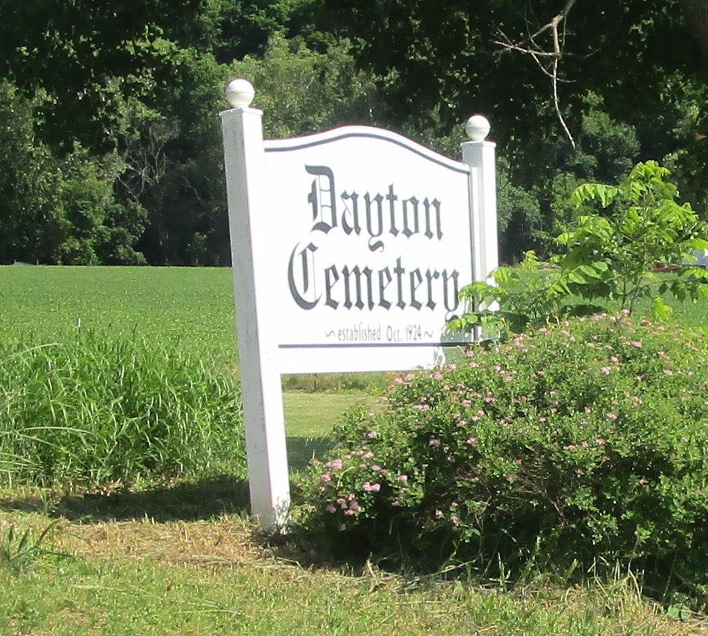
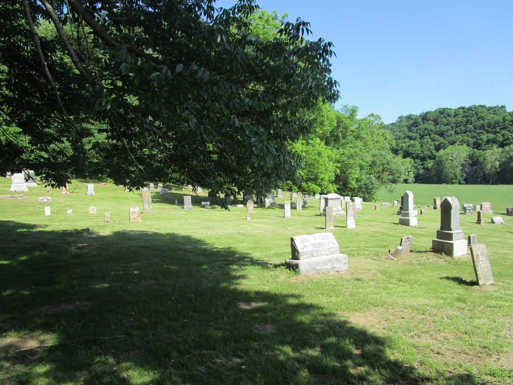
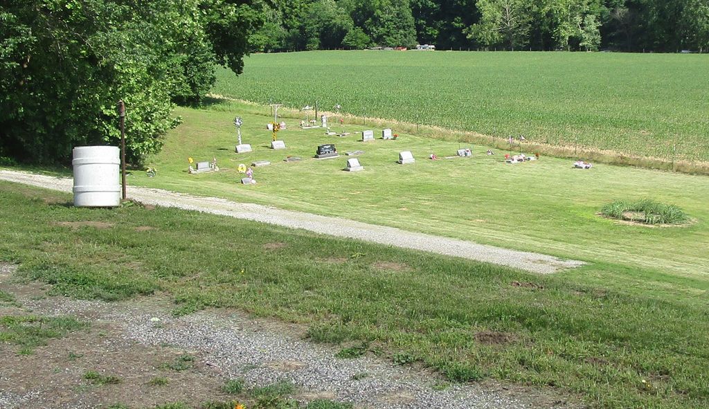
| Description | : | Dayton Cemetery is in Woodville Township, midway between the Illinois River and Witaschek Mound, which at 680 feet is the highest point in Greene County. The cemetery is on the east side of a good road and on the north side of a creek. This listing included only a small portion of the burials that are known to have been made in Dayton Cemetery. (http://www.rootsweb.ancestry.com/~ilmaga/greene/cemeteries/dayton.htm) Location: Section 9 (southwest quarter), Township 9 North, Range 13 West, 3PM. The U.S. Geological Survey (USGS) Geographic Names Information System (GNIS) feature ID for the cemetery is 407007 (Dayton Cemetery). |
frequently asked questions (FAQ):
-
Where is Dayton Cemetery?
Dayton Cemetery is located at Section 9 (southwest quarter), Township 9 North, Range 13 West, 3PM. Woodville Township, Greene County ,Illinois ,USA.
-
Dayton Cemetery cemetery's updated grave count on graveviews.com?
0 memorials
-
Where are the coordinates of the Dayton Cemetery?
Latitude: 39.2369847
Longitude: -90.5548367
Nearby Cemetories:
1. Dayton Cemetery
Eldred, Greene County, USA
Coordinate: 39.2369003, -90.5556030
2. Clark Cemetery
Greene County, USA
Coordinate: 39.2206001, -90.5547028
3. Cummings Cemetery
Woody, Greene County, USA
Coordinate: 39.2308006, -90.5282974
4. Clendenen Cemetery
Woodville Township, Greene County, USA
Coordinate: 39.2089470, -90.5500670
5. Varble Cemetery
Eldred, Greene County, USA
Coordinate: 39.2411513, -90.5184471
6. Mulberry-King Cemetery
Woody, Greene County, USA
Coordinate: 39.2644350, -90.5173120
7. Mayberry Cemetery
Carrollton, Greene County, USA
Coordinate: 39.2517069, -90.4990025
8. Borlin Cemetery
Carrollton, Greene County, USA
Coordinate: 39.2200060, -90.4986400
9. Mills Cemetery
Eldred, Greene County, USA
Coordinate: 39.2228300, -90.4904100
10. Fry Cemetery
Woody, Greene County, USA
Coordinate: 39.2339060, -90.4853080
11. Saint Michaels Cemetery
Michael, Calhoun County, USA
Coordinate: 39.2366400, -90.6252600
12. Eldred Memorial Gardens
Eldred, Greene County, USA
Coordinate: 39.2914292, -90.5431708
13. Schumann Cemetery
Kampsville, Calhoun County, USA
Coordinate: 39.2872626, -90.6098384
14. Mount Gilead Cemetery
Carrollton, Greene County, USA
Coordinate: 39.2486270, -90.4639260
15. Busch Cemetery
Greene County, USA
Coordinate: 39.1772626, -90.4959459
16. Reddish-Dunham Cemetery
Fieldon, Jersey County, USA
Coordinate: 39.1702995, -90.5072021
17. Eldred-Bushnell Cemetery
Eldred, Greene County, USA
Coordinate: 39.3139293, -90.5515047
18. Saint Anselms Cemetery
Kampsville, Calhoun County, USA
Coordinate: 39.2983540, -90.6150110
19. Reynolds Cemetery
Woodville Township, Greene County, USA
Coordinate: 39.2258400, -90.4557600
20. Bushnell Cemetery
Eldred, Greene County, USA
Coordinate: 39.3149160, -90.5510690
21. Farrow Cemetery
Kampsville, Calhoun County, USA
Coordinate: 39.3007120, -90.6130680
22. County Farm Cemetery
Hardin, Calhoun County, USA
Coordinate: 39.1739600, -90.6216500
23. Mount Hope Cemetery
Calhoun County, USA
Coordinate: 39.2428017, -90.6706009
24. French Cemetery
Hardin, Calhoun County, USA
Coordinate: 39.1593550, -90.6168820