
| Memorials | : | 0 |
| Location | : | Creek County, USA |
| Coordinate | : | 35.8170000, -96.4432000 |
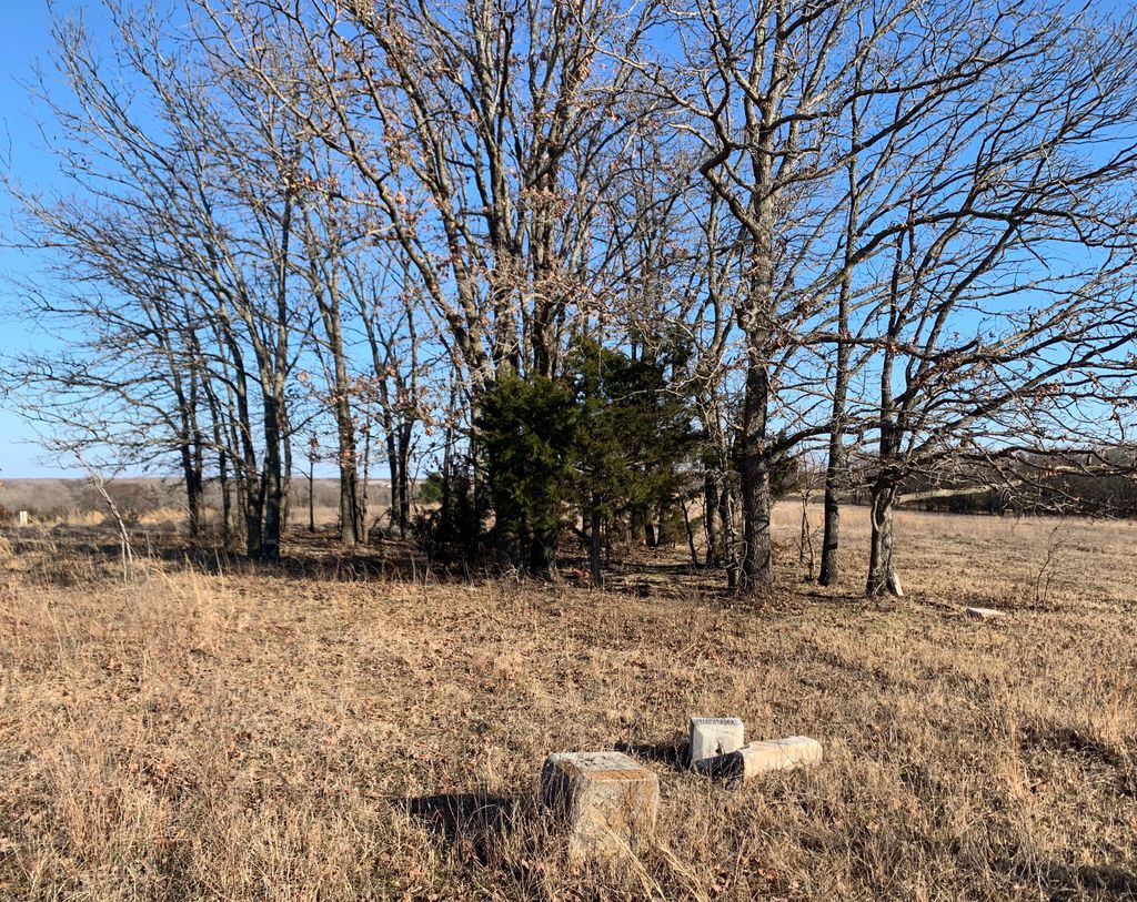
| Description | : | A small cemetery on private land. 2 miles west of Bristow, Ok on Highway 66 on the south side of the road. In a pasture, it appears to have been razed at some time in past. |
frequently asked questions (FAQ):
-
Where is Deep Rock Cemetery?
Deep Rock Cemetery is located at Creek County ,Oklahoma ,USA.
-
Deep Rock Cemetery cemetery's updated grave count on graveviews.com?
0 memorials
-
Where are the coordinates of the Deep Rock Cemetery?
Latitude: 35.8170000
Longitude: -96.4432000
Nearby Cemetories:
1. Creek County Poor Farm Cemetery
Bristow, Creek County, USA
Coordinate: 35.8176810, -96.4404270
2. Durant Cemetery
Bristow, Creek County, USA
Coordinate: 35.8196580, -96.4077680
3. Bailey Memorial Cemetery
Depew, Creek County, USA
Coordinate: 35.8087700, -96.4805040
4. Bristow Cemetery
Bristow, Creek County, USA
Coordinate: 35.8294000, -96.4026900
5. Hanna Brown Tiger Cemetery
Bristow, Creek County, USA
Coordinate: 35.8271334, -96.3908310
6. Thomas Tiger Cemetery
Bristow Point, Pittsburg County, USA
Coordinate: 35.8062010, -96.3877160
7. Magnolia Memorial Cemetery
Bristow, Creek County, USA
Coordinate: 35.8560982, -96.3858032
8. Oakdale Cemetery
Depew, Creek County, USA
Coordinate: 35.8053017, -96.5372009
9. Memorial Club Cemetery
Depew, Creek County, USA
Coordinate: 35.8053110, -96.5392290
10. Harlinsville Cemetery
Bristow, Creek County, USA
Coordinate: 35.9015670, -96.4232700
11. Oak Hill 44 Cemetery
Bristow, Creek County, USA
Coordinate: 35.8821983, -96.3644028
12. Big Pond Cemetery
Depew, Creek County, USA
Coordinate: 35.7453003, -96.5218964
13. Bigpond-Tiger Cemetery
Depew, Creek County, USA
Coordinate: 35.7453500, -96.5222300
14. Bucktrot Cemetery
Bristow, Creek County, USA
Coordinate: 35.7214012, -96.4203033
15. Mutteloke Cemetery
Creek County, USA
Coordinate: 35.7392006, -96.5183029
16. VanOrsdol Cemetery
Creek County, USA
Coordinate: 35.7665000, -96.3377100
17. Wilson Cemetery
Newby, Creek County, USA
Coordinate: 35.6981010, -96.3514023
18. Mount Harman Cemetery
Creek County, USA
Coordinate: 35.6967010, -96.3497009
19. Tabor Cemetery
Slick, Creek County, USA
Coordinate: 35.8020430, -96.2663470
20. Little Creek Cemetery
Aron, Creek County, USA
Coordinate: 35.6827930, -96.5109250
21. Falls Cemetery
Slick, Creek County, USA
Coordinate: 35.7649994, -96.2699966
22. Provens Cemetery
Creek County, USA
Coordinate: 35.8849983, -96.2724991
23. Shamrock Cemetery
Shamrock, Creek County, USA
Coordinate: 35.9150009, -96.5905991
24. Allen Family Cemetery
Cushing, Payne County, USA
Coordinate: 35.8840750, -96.6283610