
| Memorials | : | 252 |
| Location | : | Akron, Tuscola County, USA |
| Coordinate | : | 43.6007996, -83.4946976 |
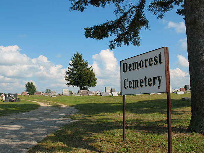
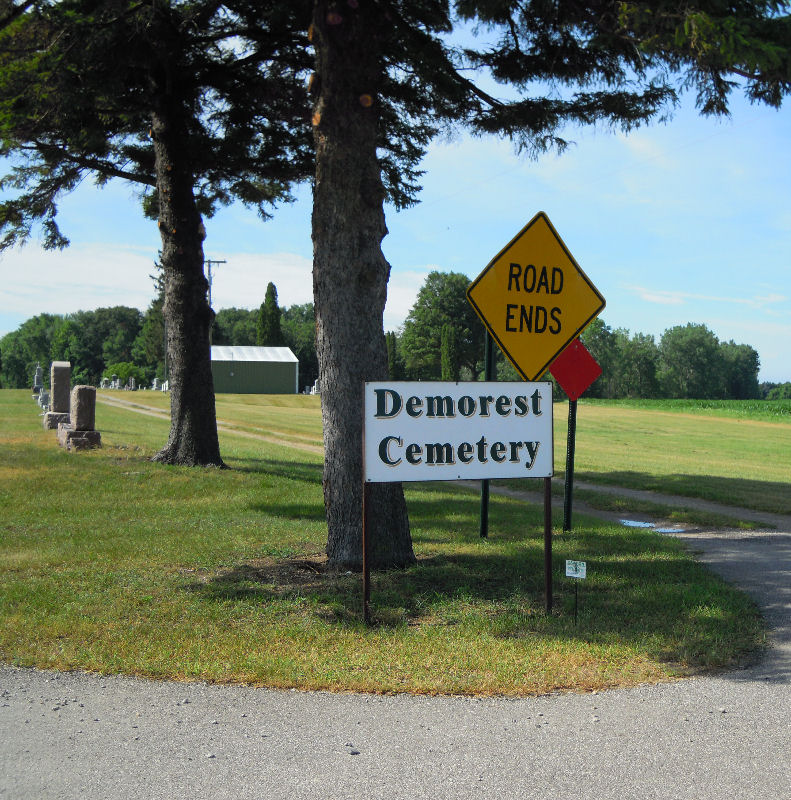
| Description | : | The cemetery is located in Akron Township on the south side of Hoover Road at its intersection with Trail Road. The U.S. Geological Survey (USGS) Geographic Names Information System (GNIS) feature ID for the cemetery is 624544 (Demorest Cemetery / Demarest Cemetery). |
frequently asked questions (FAQ):
-
Where is Demorest Cemetery?
Demorest Cemetery is located at 3735 Hoover Road West Akron, Tuscola County ,Michigan , 48701USA.
-
Demorest Cemetery cemetery's updated grave count on graveviews.com?
248 memorials
-
Where are the coordinates of the Demorest Cemetery?
Latitude: 43.6007996
Longitude: -83.4946976
Nearby Cemetories:
1. Saint Peters Lutheran Cemetery
Unionville, Tuscola County, USA
Coordinate: 43.6197014, -83.4313965
2. Columbia Township Cemetery
Unionville, Tuscola County, USA
Coordinate: 43.6088500, -83.4270300
3. Hickory Island Cemetery
Akron, Tuscola County, USA
Coordinate: 43.6425018, -83.5322037
4. Perkins Cemetery
Akron, Tuscola County, USA
Coordinate: 43.5531006, -83.5183029
5. Columbia Township Cemetery
Unionville, Tuscola County, USA
Coordinate: 43.6498100, -83.4535600
6. Holy Family Catholic Cemetery
Unionville, Tuscola County, USA
Coordinate: 43.6565890, -83.4749390
7. Moravian Cemetery
Unionville, Tuscola County, USA
Coordinate: 43.6536110, -83.4583330
8. Wisner Township Cemetery
Wisner, Tuscola County, USA
Coordinate: 43.6027985, -83.6196976
9. Brookside Cemetery
Fairgrove, Tuscola County, USA
Coordinate: 43.5153008, -83.5457993
10. Saint Peter Lutheran Cemetery
Sebewaing Township, Huron County, USA
Coordinate: 43.6753006, -83.3858032
11. Moreland Cemetery
Fairgrove, Tuscola County, USA
Coordinate: 43.4914017, -83.4839020
12. New Salem Lutheran Church Cemetery
Sebewaing, Huron County, USA
Coordinate: 43.7141991, -83.4344025
13. Caro United Methodist Church Memorial Garden
Caro, Tuscola County, USA
Coordinate: 43.4952660, -83.4023480
14. Almer Township Cemetery
Caro, Tuscola County, USA
Coordinate: 43.5097008, -83.3719025
15. Tuscola County Poor Farm Cemetery
Caro, Tuscola County, USA
Coordinate: 43.5100000, -83.3677780
16. Old Saint John Lutheran Cemetery
Sebewaing, Huron County, USA
Coordinate: 43.7257700, -83.4371700
17. Northlawn Cemetery
Sebewaing, Huron County, USA
Coordinate: 43.7263200, -83.4378250
18. Blessed Virgin Mary Cemetery
Sebewaing, Huron County, USA
Coordinate: 43.7262726, -83.4373627
19. Memorial Cemetery
Sebewaing, Huron County, USA
Coordinate: 43.7263107, -83.4374390
20. Silverlawn Cemetery
Sebewaing, Huron County, USA
Coordinate: 43.7265053, -83.4374847
21. Sacred Heart Cemetery
Caro, Tuscola County, USA
Coordinate: 43.4935610, -83.3870780
22. Immanuel Lutheran Cemetery
Sebewaing, Huron County, USA
Coordinate: 43.7272890, -83.4384110
23. Holy Family Catholic Cemetery
Sebewaing, Huron County, USA
Coordinate: 43.7278550, -83.4375410
24. Assembly of God Church Cemetery
Sebewaing, Huron County, USA
Coordinate: 43.7280570, -83.4373530