
| Memorials | : | 0 |
| Location | : | Mount Sterling, Madison County, USA |
| Coordinate | : | 39.8153000, -83.2932968 |
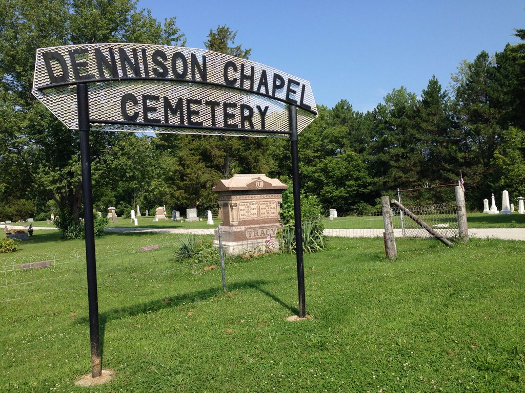
| Description | : | The cemetery is located on the west side of W. Jefferson Kiousville Road (County Road 22) about 1.0 mile north of its intersection with Kiousville Georgesville Road (County Road 53). The cemetery is located in Fairfield Township, Madison County, Ohio, and is # 7115 (Dennison Chapel Cemetery / Thomas Cemetery / Dennison Cemetery) in “Ohio Cemeteries 1803-2003”, compiled by the Ohio Genealogical Society. The cemetery is registered with the Ohio Division of Real Estate and Professional Licensing (ODRE) as Dennison Chapel Cemetery with registration license number CGR.0000981465. The U.S. Geological Survey (USGS) Geographic Names Information System (GNIS) feature... Read More |
frequently asked questions (FAQ):
-
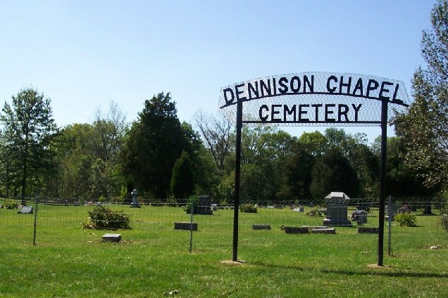
Where is Dennison Chapel Cemetery?
Dennison Chapel Cemetery is located at W. Jefferson Kiousville Road (County Road 22) Mount Sterling, Madison County ,Ohio , 43140USA.
-
Dennison Chapel Cemetery cemetery's updated grave count on graveviews.com?
0 memorials
-
Where are the coordinates of the Dennison Chapel Cemetery?
Latitude: 39.8153000
Longitude: -83.2932968
Nearby Cemetories:
1. Big Plain Cemetery
Big Plain, Madison County, USA
Coordinate: 39.8372002, -83.2807999
2. Fitzgerald Cemetery
Madison County, USA
Coordinate: 39.8133011, -83.2497025
3. Timmons Cemetery
Chrisman, Madison County, USA
Coordinate: 39.8175608, -83.3388057
4. Timmons Cemetery
Madison County, USA
Coordinate: 39.8175011, -83.3388977
5. Graham Cemetery
Mount Sterling, Madison County, USA
Coordinate: 39.7817001, -83.3080978
6. Jackson Cemetery
Madison County, USA
Coordinate: 39.8717003, -83.2643967
7. Biggert Cemetery
Grove City, Franklin County, USA
Coordinate: 39.8561440, -83.2130190
8. Little Pennsylvania Cemetery
Darbydale, Franklin County, USA
Coordinate: 39.8507996, -83.2005997
9. Lower Glade Cemetery
Madison County, USA
Coordinate: 39.8816986, -83.3510971
10. Palestine Church Cemetery
Pickaway County, USA
Coordinate: 39.7431260, -83.2430670
11. Pleasant Cemetery
Mount Sterling, Madison County, USA
Coordinate: 39.7393990, -83.2510986
12. Johnston-McClimans Cemetery
London, Madison County, USA
Coordinate: 39.7672005, -83.3831024
13. Chenoweth Cemetery
Franklin County, USA
Coordinate: 39.8223152, -83.1790695
14. Lilly-Dyer Cemetery
Franklin County, USA
Coordinate: 39.8650017, -83.1959991
15. Old Johnston Cemetery
Range, Madison County, USA
Coordinate: 39.7907982, -83.4128036
16. Tanner Cemetery
Five Points, Pickaway County, USA
Coordinate: 39.7275611, -83.2438032
17. Gardner Cemetery
Georgesville, Franklin County, USA
Coordinate: 39.8952179, -83.2169724
18. Methodist Church Cemetery
Mount Sterling, Madison County, USA
Coordinate: 39.7178400, -83.2635300
19. Oak Grove Cemetery
Georgesville, Franklin County, USA
Coordinate: 39.8944016, -83.2130966
20. Old Ridge Way Farm Cemetery
Derby, Pickaway County, USA
Coordinate: 39.7533130, -83.1803510
21. Orient Feeble Minded Institute Cemetery
Orient, Pickaway County, USA
Coordinate: 39.7960014, -83.1539993
22. Shepherd Cemetery
Madison County, USA
Coordinate: 39.7771988, -83.4263992
23. McDonald Cemetery
Madison County, USA
Coordinate: 39.9152380, -83.3529210
24. Shockley Cemetery
Darby Township, Pickaway County, USA
Coordinate: 39.7531834, -83.1720180