
| Memorials | : | 33 |
| Location | : | Madison County, USA |
| Coordinate | : | 35.9549500, -82.5616800 |
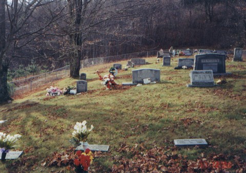
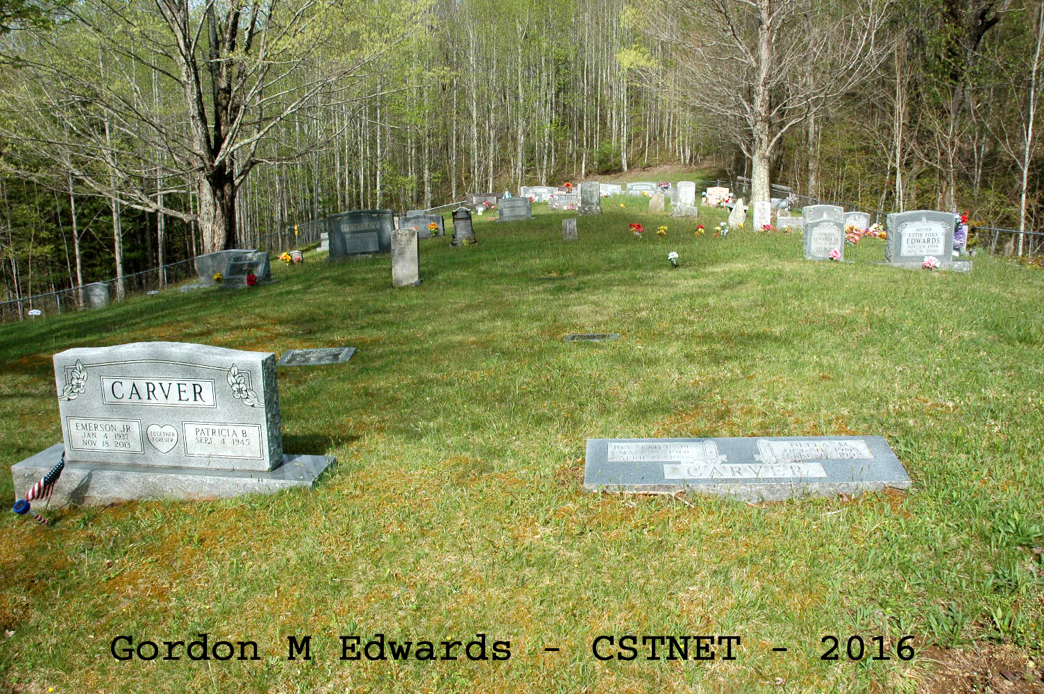
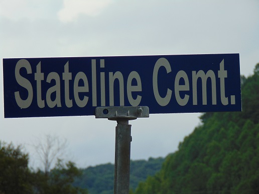
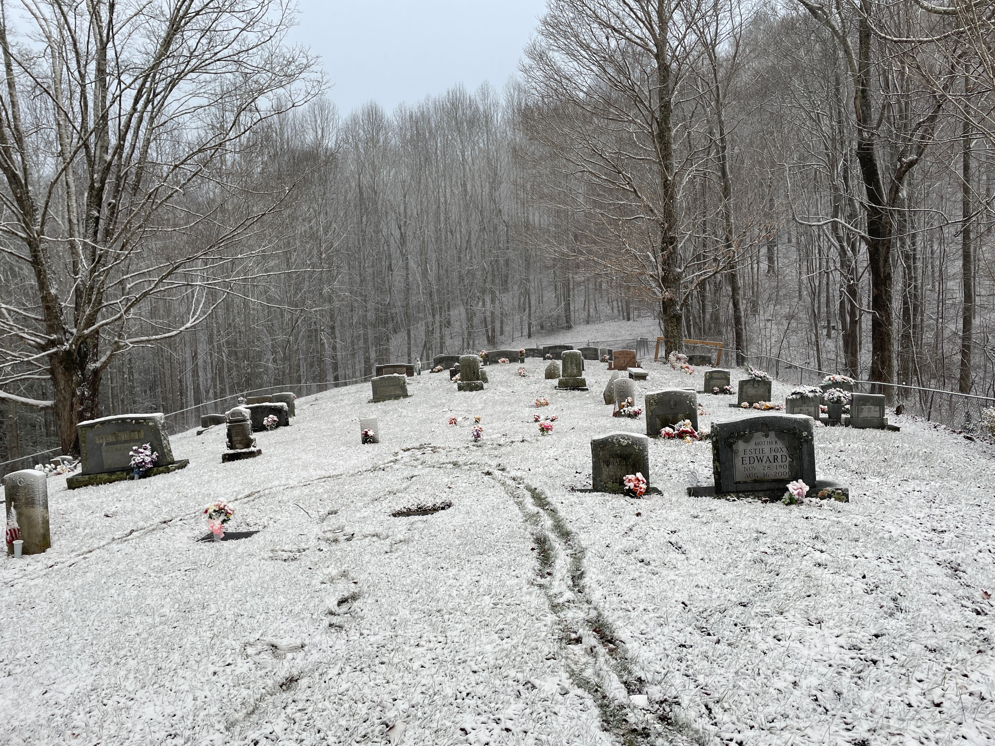
| Description | : | The NC/TN state line runs through the property. The majority of the cemetery is located on the NC side, as is the main road leading up to and into the cemetery. . In order to keep the cemetery from being duplicated on Find A Grave in both states, a decision was made to list it in North Carolina because of the entrance road and the amount of the cemetery being in NC. The Unicoi County, Tennessee GenWeb Project recognizes this cemetery as belonging in Tennessee instead of North Carolina. The Madison County, North Carolina project currently does not. |
frequently asked questions (FAQ):
-
Where is Divide Cemetery?
Divide Cemetery is located at Flag Pond Road at Old Asheville Highway (US 23) Madison County ,North Carolina ,USA.
-
Divide Cemetery cemetery's updated grave count on graveviews.com?
33 memorials
-
Where are the coordinates of the Divide Cemetery?
Latitude: 35.9549500
Longitude: -82.5616800
Nearby Cemetories:
1. English-Metcalf Cemetery
Mars Hill, Madison County, USA
Coordinate: 35.9483300, -82.5525000
2. Robinson Cemetery
Little Creek, Madison County, USA
Coordinate: 35.9454190, -82.5725760
3. Knoll Cemetery
Mars Hill, Madison County, USA
Coordinate: 35.9562600, -82.5420400
4. Metcalf Cemetery
Flag Pond, Unicoi County, USA
Coordinate: 35.9739000, -82.5546800
5. Smith Creek Cemetery
Mars Hill, Madison County, USA
Coordinate: 35.9359800, -82.5504800
6. Justice Cemetery
Mars Hill, Madison County, USA
Coordinate: 35.9328400, -82.5540600
7. Bailey Cemetery
Unicoi County, USA
Coordinate: 35.9740600, -82.5774800
8. Bright Hope Cemetery
Mars Hill, Madison County, USA
Coordinate: 35.9522300, -82.5325700
9. John Calvin Rice
Flag Pond, Unicoi County, USA
Coordinate: 35.9785600, -82.5828000
10. Rice Cemetery
Flag Pond, Unicoi County, USA
Coordinate: 35.9776300, -82.5847700
11. Watts Cemetery #02
Flag Pond, Unicoi County, USA
Coordinate: 35.9806400, -82.5810100
12. Rice Creek Cemetery
Flag Pond, Unicoi County, USA
Coordinate: 35.9823000, -82.5772800
13. Lower English Cemetery
Mars Hill, Madison County, USA
Coordinate: 35.9323900, -82.5349000
14. Lewis Cemetery
Flag Pond, Unicoi County, USA
Coordinate: 35.9746800, -82.5955500
15. Elisha Silvers Cemetery
Flag Pond, Unicoi County, USA
Coordinate: 35.9893700, -82.5618500
16. Blankenship Cemetery
Flag Pond, Unicoi County, USA
Coordinate: 35.9900800, -82.5619200
17. Randolph Cemetery
Flag Pond, Unicoi County, USA
Coordinate: 35.9712400, -82.6010900
18. Sams Cemetery #2
Flag Pond, Unicoi County, USA
Coordinate: 35.9907700, -82.5486900
19. Laurel Bend Baptist Church Cemetery
Big Laurel, Madison County, USA
Coordinate: 35.9223700, -82.5854600
20. Blankenship Family Cemetery
Flag Pond, Unicoi County, USA
Coordinate: 35.9944100, -82.5602100
21. Sand Banks Cemetery
Mars Hill, Madison County, USA
Coordinate: 35.9145027, -82.5698748
22. Silvers Cemetery
Flag Pond, Unicoi County, USA
Coordinate: 35.9965100, -82.5769600
23. Fender Cemetery
Foster Creek, Madison County, USA
Coordinate: 35.9252400, -82.6034300
24. Higgins Chapel Cemetery
Flag Pond, Unicoi County, USA
Coordinate: 35.9958610, -82.5374100