
| Memorials | : | 0 |
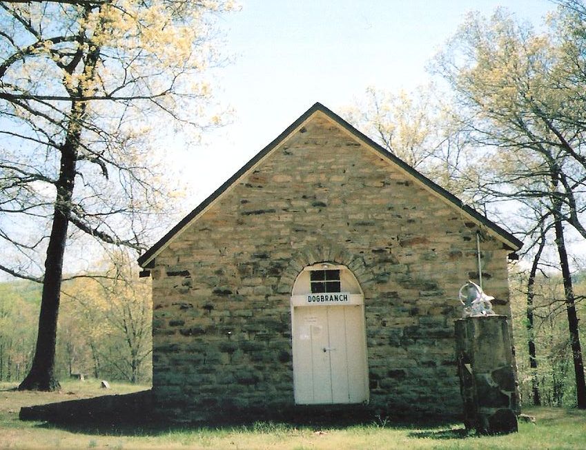
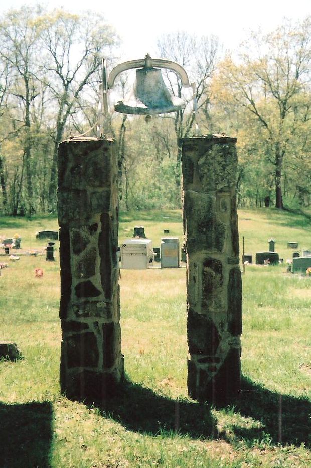
| Location | : | Carrollton, Carroll County, USA |
| Coordinate | : | 36.2036018, -93.3581009 |
frequently asked questions (FAQ):
-
Where is Dogbranch Cemetery?
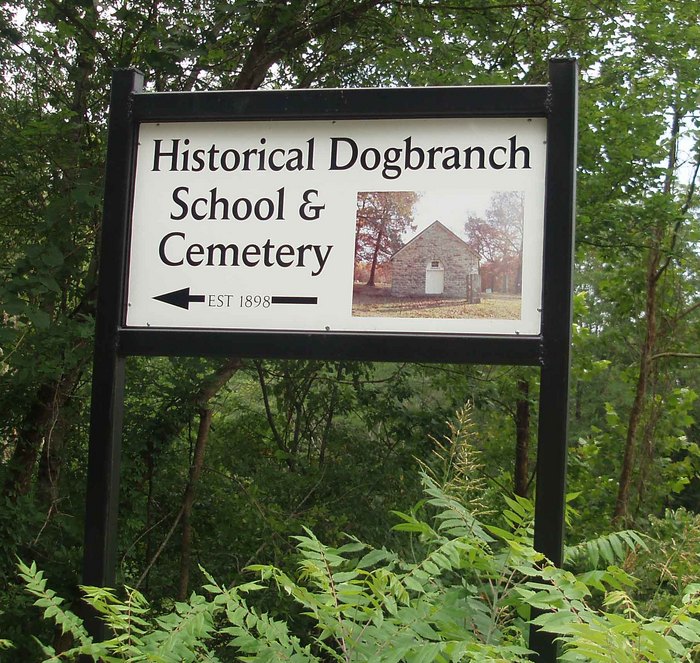
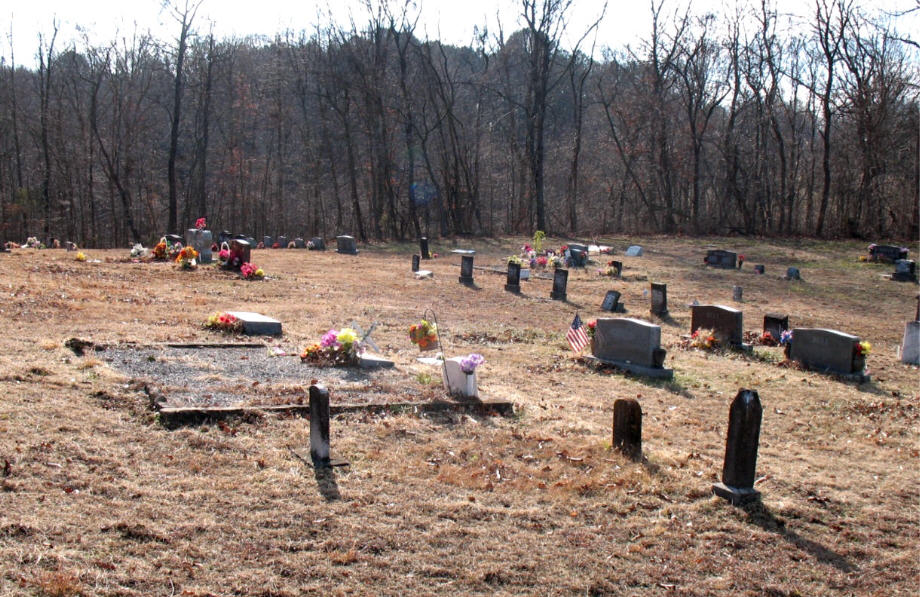
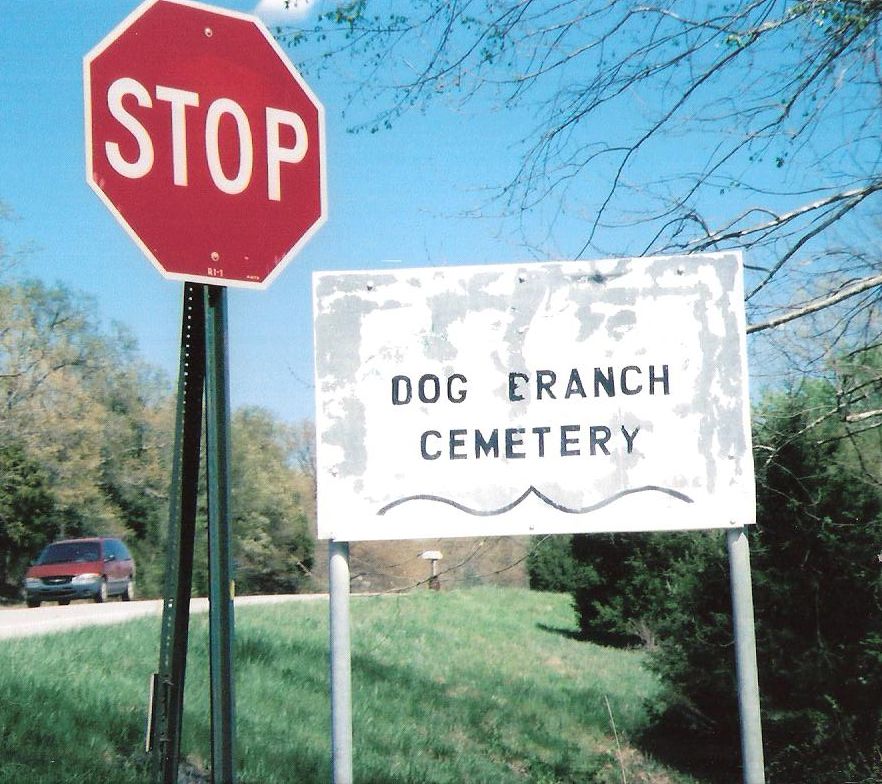
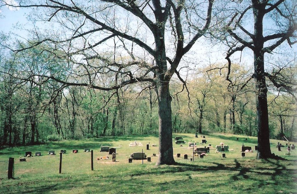
Dogbranch Cemetery is located at Carrollton, Carroll County ,Arkansas ,USA.
-
Dogbranch Cemetery cemetery's updated grave count on graveviews.com?
0 memorials
-
Where are the coordinates of the Dogbranch Cemetery?
Latitude: 36.2036018
Longitude: -93.3581009
Nearby Cemetories:
1. Sneed Family Cemetery
Osage, Carroll County, USA
Coordinate: 36.1899986, -93.3833008
2. Fancher-Seitz Cemetery
Osage, Carroll County, USA
Coordinate: 36.1758003, -93.3796997
3. Bobo Cemetery
Carroll County, USA
Coordinate: 36.2327995, -93.3783035
4. Fancher Cemetery
Osage, Carroll County, USA
Coordinate: 36.1772003, -93.3889008
5. York Cemetery
Osage, Carroll County, USA
Coordinate: 36.2047005, -93.4030991
6. Shady Grove Cemetery
Osage, Carroll County, USA
Coordinate: 36.1644560, -93.3531150
7. Gibbs Cemetery
Boone County, USA
Coordinate: 36.1809200, -93.3181800
8. Gibbs Cemetery
Carroll County, USA
Coordinate: 36.1808014, -93.3181000
9. McGehee Cemetery
Carrollton, Carroll County, USA
Coordinate: 36.2378006, -93.3878021
10. Sisco Cemetery
Osage, Carroll County, USA
Coordinate: 36.1794014, -93.4044037
11. McMillion Cemetery
Carroll County, USA
Coordinate: 36.1549988, -93.3688965
12. Chaney Cemetery
Carroll County, USA
Coordinate: 36.2146988, -93.4250031
13. Clark Cemetery
Green Forest, Carroll County, USA
Coordinate: 36.2290000, -93.4243000
14. Kenner Cemetery
Osage, Carroll County, USA
Coordinate: 36.1619930, -93.4125670
15. Mount Zion Methodist Church Cemetery
Carrollton, Carroll County, USA
Coordinate: 36.2625008, -93.3216705
16. Ward Cemetery
Green Forest, Carroll County, USA
Coordinate: 36.2593150, -93.4041430
17. Carrollton Cemetery
Carrollton, Carroll County, USA
Coordinate: 36.2647000, -93.3219000
18. Mountain View Cemetery
Carroll County, USA
Coordinate: 36.2771988, -93.3981018
19. Gobbler Cemetery
Gobbler, Carroll County, USA
Coordinate: 36.1878480, -93.4584940
20. Alpena Cemetery
Alpena, Boone County, USA
Coordinate: 36.2829380, -93.2931090
21. Hill Top Cemetery Luper Annex
Boone County, USA
Coordinate: 36.1491050, -93.2552990
22. Hilltop Cemetery
Hill Top, Boone County, USA
Coordinate: 36.1493988, -93.2546997
23. Coker Cemetery
Boone County, USA
Coordinate: 36.2247009, -93.2367020
24. Plumlee Cemetery
Compton, Newton County, USA
Coordinate: 36.1031300, -93.3327340