
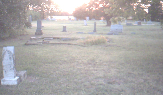
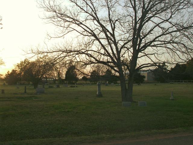
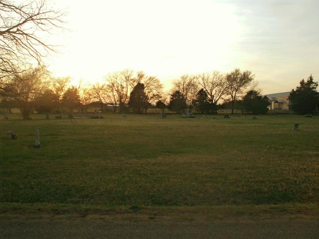
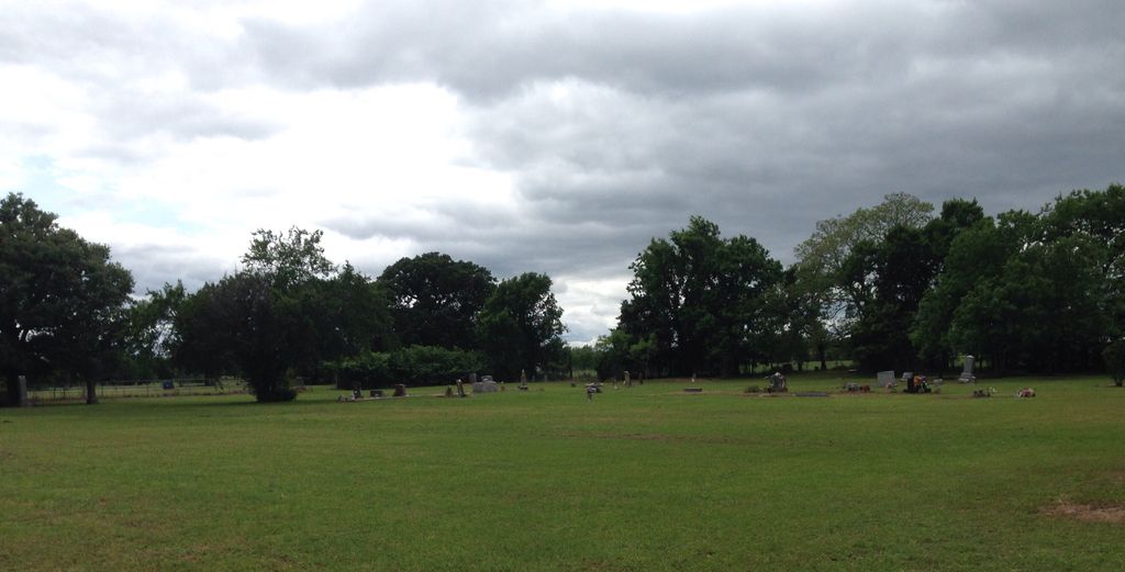
| Memorials | : | 2 |
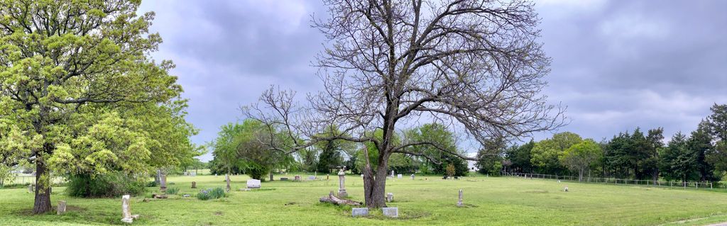
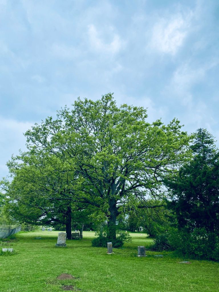
| Location | : | Denison, Grayson County, USA |
| Coordinate | : | 33.6835899, -96.5148468 |
| Description | : | From the intersection of Highway 82 & 75 in Sherman, go East on Highway 82. Travel 5.1 miles to Whitney Road, then turn North (left) and travel a winding road 2.6 miles. Dripping Spring Cemetery will be on the West side of the road. |
frequently asked questions (FAQ):
-
Where is Dripping Spring Cemetery?
Dripping Spring Cemetery is located at Denison, Grayson County ,Texas ,USA.
-
Dripping Spring Cemetery cemetery's updated grave count on graveviews.com?
2 memorials
-
Where are the coordinates of the Dripping Spring Cemetery?
Latitude: 33.6835899
Longitude: -96.5148468


Nearby Cemetories:
1. Bigbee Family Cemetery
Denison, Grayson County, USA
Coordinate: 33.6856700, -96.4912040
2. Taylor Family Cemetery
Sherman, Grayson County, USA
Coordinate: 33.6729100, -96.5380700
3. Shannon Cemetery
Sherman, Grayson County, USA
Coordinate: 33.6845093, -96.5494766
4. Work Family Cemetery
Denison, Grayson County, USA
Coordinate: 33.7121900, -96.5084070
5. Odell Cemetery
Grayson County, USA
Coordinate: 33.7127991, -96.5168991
6. Cherry Cemetery
Grayson County, USA
Coordinate: 33.6543999, -96.5083008
7. Rector Family Cemetery
Denison, Grayson County, USA
Coordinate: 33.7166425, -96.5076469
8. Bethany Cemetery
Grayson County, USA
Coordinate: 33.6478004, -96.5167007
9. Isom Cemetery
Grayson County, USA
Coordinate: 33.6622009, -96.4630966
10. Blue Creek Cemetery
Sherman, Grayson County, USA
Coordinate: 33.6361620, -96.5259250
11. Cedarlawn Memorial Park
Sherman, Grayson County, USA
Coordinate: 33.6947289, -96.5741501
12. Hendrix Cemetery
Sherman, Grayson County, USA
Coordinate: 33.6833330, -96.5775170
13. Ellsworth Community Cemetery
Ellsworth, Grayson County, USA
Coordinate: 33.7045990, -96.5801240
14. Iron Ore Cemetery
Denison, Grayson County, USA
Coordinate: 33.7102750, -96.5810680
15. Camp Cemetery
Grayson County, USA
Coordinate: 33.7264320, -96.4585240
16. Loftin-McLain Cemetery
Denison, Grayson County, USA
Coordinate: 33.7143600, -96.5835100
17. Dugan-Whiting Cemetery
Bells, Grayson County, USA
Coordinate: 33.6749992, -96.4359970
18. Jeremiah Cemetery
Denison, Grayson County, USA
Coordinate: 33.7342800, -96.4619140
19. Allred Cemetery
Bells, Grayson County, USA
Coordinate: 33.6511840, -96.4401290
20. Turley Cemetery
Denison, Grayson County, USA
Coordinate: 33.7408060, -96.4620350
21. Cherry Mound Cemetery
Bells, Grayson County, USA
Coordinate: 33.7050018, -96.4285965
22. Goff Cemetery
Bells, Grayson County, USA
Coordinate: 33.6385050, -96.4394600
23. Oakwood Cemetery
Denison, Grayson County, USA
Coordinate: 33.7614600, -96.5290500
24. Antioch Baptist Cemetery
Bells, Grayson County, USA
Coordinate: 33.6188770, -96.4600320