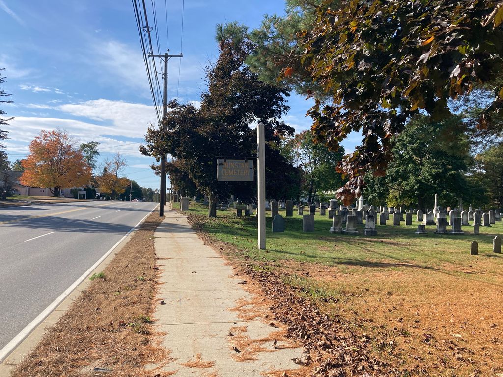
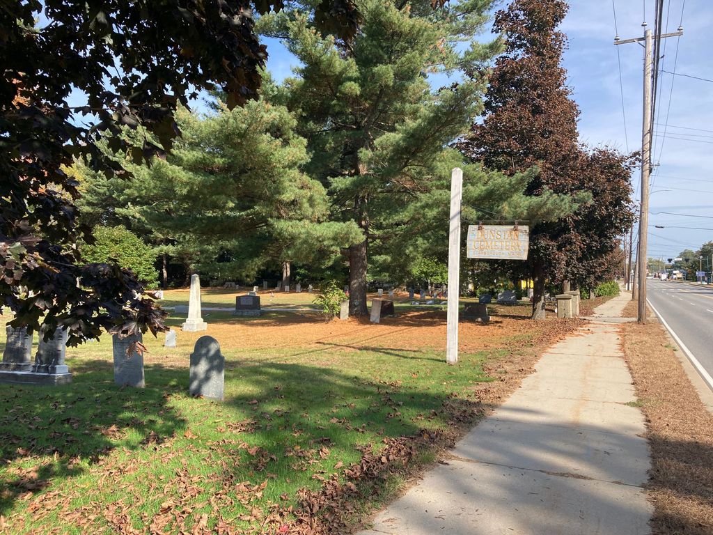
| Memorials | : | 14 |
| Location | : | Scarborough, Cumberland County, USA |
| Coordinate | : | 43.5672340, -70.3915863 |
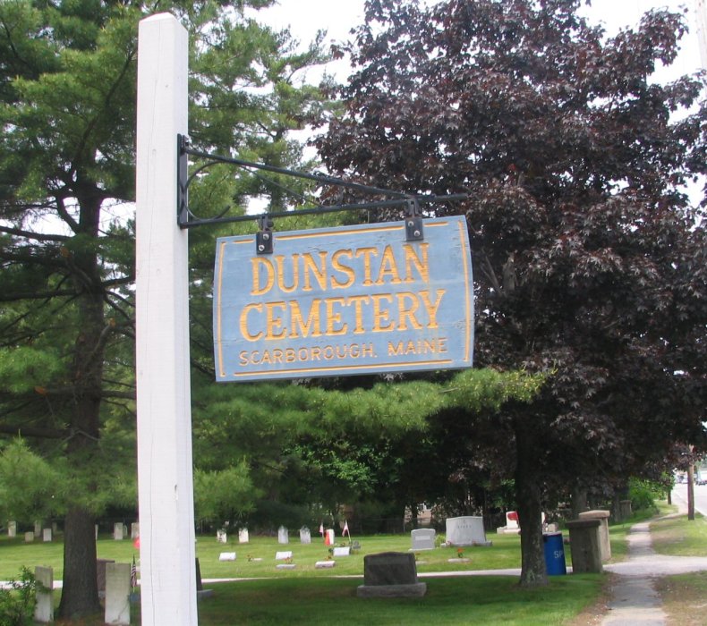
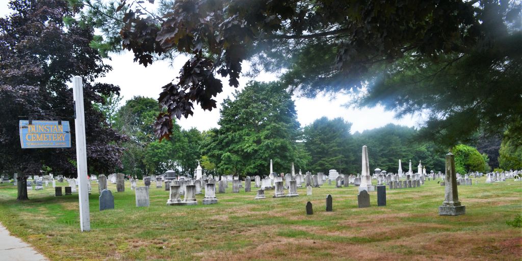
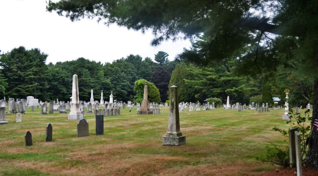
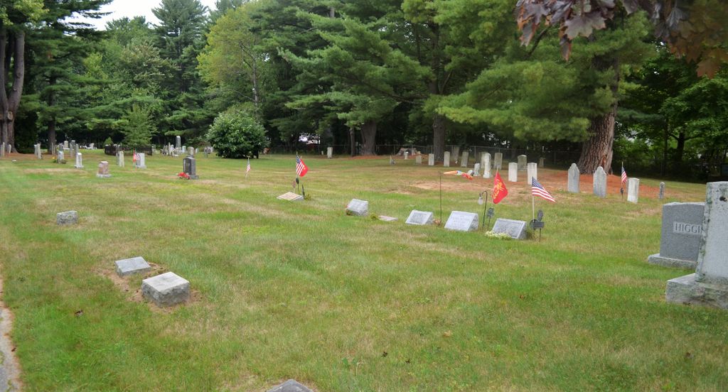
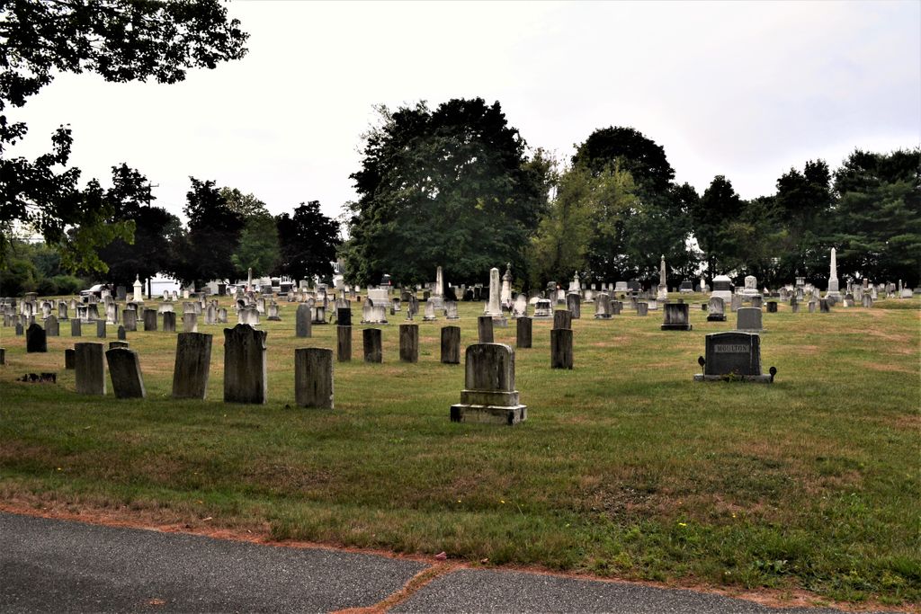
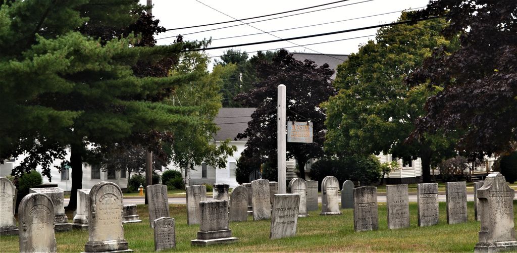
| Description | : | In 1878, the town of Scarborough paid $100 to the Coolbroth family for a parcel of land that would become Dunstan Cemetery. The following year, the town began selling burial lots for $6. Dunstan was the town's second public cemetery (Blackpoint being the first) but many Scarborough families had traditionally buried their dead on their own property. More than 30 such private family cemeteries were documented in 1871. The establishment of Dunstan Cemetery allowed families to close their private burial lots by moving the deceased to Dunstan. As a result, more than 500 records exist at Dunstan today for people... Read More |
frequently asked questions (FAQ):
-
Where is Dunstan Cemetery?
Dunstan Cemetery is located at Scarborough, Cumberland County ,Maine ,USA.
-
Dunstan Cemetery cemetery's updated grave count on graveviews.com?
12 memorials
-
Where are the coordinates of the Dunstan Cemetery?
Latitude: 43.5672340
Longitude: -70.3915863
Nearby Cemetories:
1. West Scarboro Cemetery
Cumberland County, USA
Coordinate: 43.5671997, -70.3933029
2. Scarborough Memorial Cemetery
Scarborough, Cumberland County, USA
Coordinate: 43.5555820, -70.3811390
3. McLaughlin Graveyard
Scarborough, Cumberland County, USA
Coordinate: 43.5998610, -70.3961310
4. Carter Family Cemetery
Scarborough, Cumberland County, USA
Coordinate: 43.5988630, -70.4394260
5. Larrabee Family Cemetery
Scarborough, Cumberland County, USA
Coordinate: 43.6129530, -70.4263520
6. Black Point Cemetery
Scarborough, Cumberland County, USA
Coordinate: 43.5722300, -70.3156000
7. Larrabee-Libby Cemetery
Cumberland County, USA
Coordinate: 43.6377869, -70.4021256
8. Hasty Cemetery
Raymond, Cumberland County, USA
Coordinate: 43.5212000, -70.3120000
9. South Gorham Cemetery
Gorham, Cumberland County, USA
Coordinate: 43.6398330, -70.4176860
10. Skillin Cemetery
South Portland, Cumberland County, USA
Coordinate: 43.6363000, -70.3451100
11. Fenderson Family Cemetery
Cumberland County, USA
Coordinate: 43.6220490, -70.4677730
12. Knight Family Farm Cemetery
Scarborough, Cumberland County, USA
Coordinate: 43.6481081, -70.3841200
13. Johnson Cemetery
Westbrook, Cumberland County, USA
Coordinate: 43.6484030, -70.3718570
14. Wescott Cemetery
South Portland, Cumberland County, USA
Coordinate: 43.6244389, -70.3093639
15. Long Creek Cemetery
South Portland, Cumberland County, USA
Coordinate: 43.6328166, -70.3181143
16. Olde Spurwink Plantation Cemetery
Cape Elizabeth, Cumberland County, USA
Coordinate: 43.5656090, -70.2673160
17. Highland Memorial Gardens
South Portland, Cumberland County, USA
Coordinate: 43.6166992, -70.2799988
18. Temple Beth El Memorial Park
Portland, Cumberland County, USA
Coordinate: 43.6503060, -70.3243020
19. Brooklawn Memorial Park
Portland, Cumberland County, USA
Coordinate: 43.6501274, -70.3214493
20. Calvary Cemetery
South Portland, Cumberland County, USA
Coordinate: 43.6323100, -70.2902700
21. Brown's Hill Cemetery
South Portland, Cumberland County, USA
Coordinate: 43.6292114, -70.2839584
22. Riverside Cemetery
Cape Elizabeth, Cumberland County, USA
Coordinate: 43.5806000, -70.2547000
23. The Oaks Cemetery
Biddeford, York County, USA
Coordinate: 43.4639931, -70.3965002
24. Woodlawn Cemetery
Biddeford, York County, USA
Coordinate: 43.4805984, -70.4717026

