
| Memorials | : | 0 |
| Location | : | Oppenheim, Fulton County, USA |
| Coordinate | : | 43.0352778, -74.6913889 |
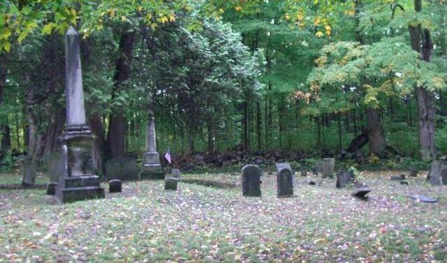
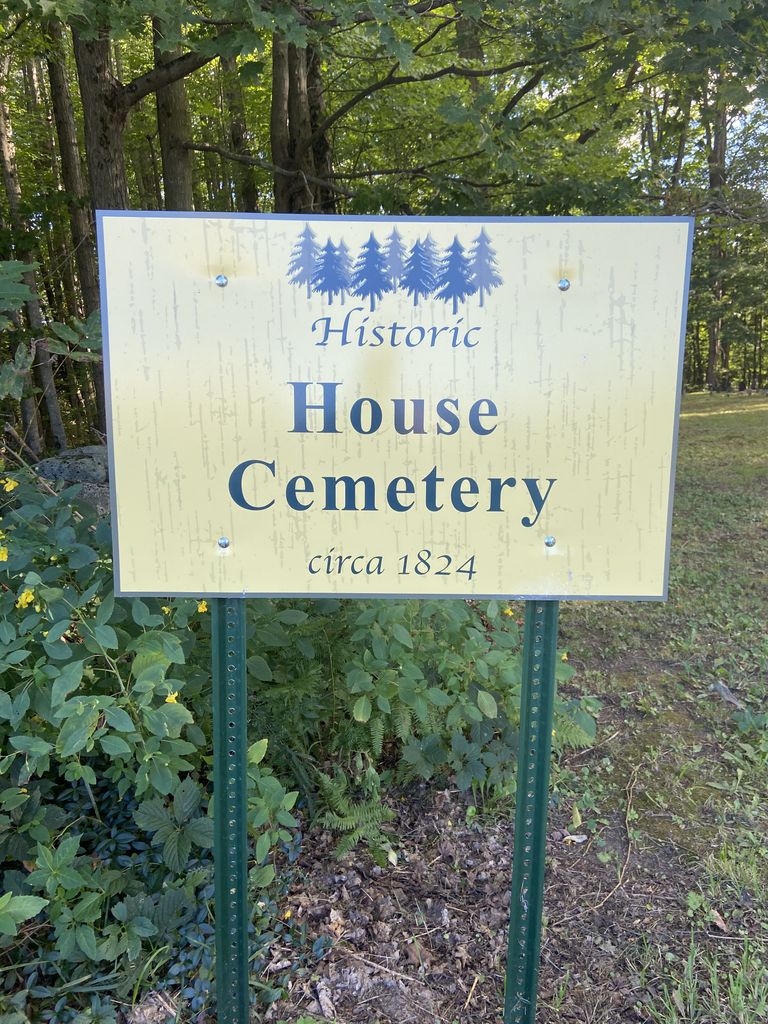
| Description | : | Dutch Reformed Church Cemetery is located on Youkers Bush Rd. near the intersection with Mosher Rd. 1.4 miles east of Crum Creek, Oppenheim Township, Fulton County. NY. Dutch Reformed Church and Cemetery "The members of the Lutheran Body united with the members of the Second Reformed Dutch Church, and together they erected a Meeting House at Youker's Bush, which in the Lutheran articles of incorporation, is referred to a being "new" in the year 1830. This church stood about a mile and a half east of Crum Creek, and half a mile north of the town and county line... Read More |
frequently asked questions (FAQ):
-
Where is Dutch Reformed Church Cemetery?
Dutch Reformed Church Cemetery is located at Oppenheim, Fulton County ,New York ,USA.
-
Dutch Reformed Church Cemetery cemetery's updated grave count on graveviews.com?
0 memorials
-
Where are the coordinates of the Dutch Reformed Church Cemetery?
Latitude: 43.0352778
Longitude: -74.6913889


Nearby Cemetories:
1. Fair View Cemetery
Saint Johnsville, Montgomery County, USA
Coordinate: 43.0281300, -74.7112300
2. Youkers Bush Cemetery
Oppenheim, Fulton County, USA
Coordinate: 43.0276000, -74.6698200
3. Chatsey Cemetery
Fulton County, USA
Coordinate: 43.0583000, -74.6580963
4. Thumb Cemetery
Oppenheim, Fulton County, USA
Coordinate: 43.0420646, -74.6459605
5. Prospect View Cemetery
Saint Johnsville, Montgomery County, USA
Coordinate: 43.0022800, -74.6769700
6. Henry J Klock Jr Cemetery
Saint Johnsville, Montgomery County, USA
Coordinate: 43.0236522, -74.7362618
7. Duseler Family Cemetery
Oppenheim, Fulton County, USA
Coordinate: 43.0293500, -74.6430700
8. Klock Cemetery
Saint Johnsville, Montgomery County, USA
Coordinate: 43.0061600, -74.7208900
9. West Saint Johnsville Cemetery
West Saint Johnsville, Montgomery County, USA
Coordinate: 42.9988900, -74.6973200
10. Crouse Family Cemetery
Oppenheim, Fulton County, USA
Coordinate: 43.0174700, -74.6428800
11. Beardslee's Cemetery
East Creek, Herkimer County, USA
Coordinate: 43.0168300, -74.7411900
12. Frederick Baum Cemetery
Oppenheim, Fulton County, USA
Coordinate: 43.0337570, -74.6333890
13. Green Cemetery
Montgomery County, USA
Coordinate: 43.0069008, -74.7367020
14. Klocks Church Burial Ground
Saint Johnsville, Montgomery County, USA
Coordinate: 42.9969200, -74.6610000
15. Sanders Family Cemetery
Minden Township, Montgomery County, USA
Coordinate: 42.9899310, -74.6940100
16. Nellis Cemetery
Saint Johnsville, Montgomery County, USA
Coordinate: 42.9949989, -74.6567001
17. Mindenville Cemetery
Mindenville, Montgomery County, USA
Coordinate: 42.9905090, -74.7166367
18. Clemmons Cemetery
Oppenheim, Fulton County, USA
Coordinate: 43.0691986, -74.6414032
19. Sanders Family Cemetery
Minden Township, Montgomery County, USA
Coordinate: 42.9878920, -74.6692870
20. Clouse Cemetery
Montgomery County, USA
Coordinate: 43.0088997, -74.6264038
21. Smith Cemetery
Herkimer County, USA
Coordinate: 42.9963989, -74.7435989
22. Browns Cemetery
Oppenheim, Fulton County, USA
Coordinate: 43.0892600, -74.6749700
23. Edwards Cemetery
Saint Johnsville, Montgomery County, USA
Coordinate: 42.9893990, -74.6466980
24. Snells Bush Lower Cemetery
Manheim Center, Herkimer County, USA
Coordinate: 43.0191994, -74.7658005