
| Memorials | : | 66 |
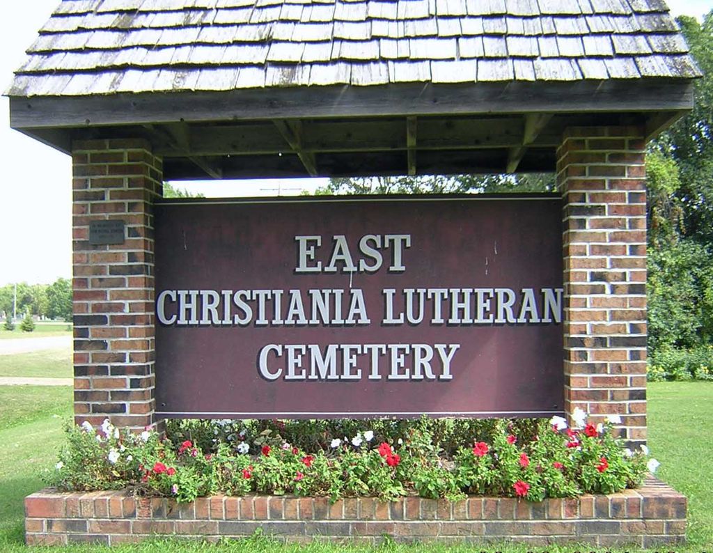
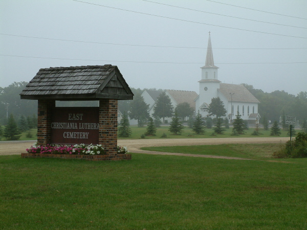
| Location | : | Lakeville, Dakota County, USA |
| Coordinate | : | 44.5614014, -93.2397003 |
frequently asked questions (FAQ):
-
Where is East Christiania Lutheran Cemetery?
East Christiania Lutheran Cemetery is located at Lakeville, Dakota County ,Minnesota ,USA.
-
East Christiania Lutheran Cemetery cemetery's updated grave count on graveviews.com?
66 memorials
-
Where are the coordinates of the East Christiania Lutheran Cemetery?
Latitude: 44.5614014
Longitude: -93.2397003
Nearby Cemetories:
1. Highview Christiania Lutheran Cemetery
Eureka Township, Dakota County, USA
Coordinate: 44.5624700, -93.2374500
2. Hazelwood Lutheran Cemetery
Webster, Rice County, USA
Coordinate: 44.5301018, -93.2858963
3. West Christiania Cemetery
New Market Township, Scott County, USA
Coordinate: 44.5950012, -93.2919006
4. Farmington Lutheran Cemetery
Eureka Township, Dakota County, USA
Coordinate: 44.5949630, -93.1869890
5. Greenvale Cemetery
Greenvale Township, Dakota County, USA
Coordinate: 44.5434400, -93.1659850
6. Annunciation Cemetery
Hazelwood, Rice County, USA
Coordinate: 44.5155602, -93.2869415
7. Greenwood Cemetery
Lakeville, Dakota County, USA
Coordinate: 44.6236000, -93.2307968
8. All Saints Cemetery
Lakeville, Dakota County, USA
Coordinate: 44.6403008, -93.2438965
9. Saint Nicholas Catholic Cemetery
New Market, Scott County, USA
Coordinate: 44.5720461, -93.3505409
10. Solor Lutheran Cemetery
Webster, Rice County, USA
Coordinate: 44.5244408, -93.3527756
11. Lakeville Grove Cemetery
Lakeville, Dakota County, USA
Coordinate: 44.6528015, -93.2369003
12. Red Rose Cemetery
Waterford Township, Dakota County, USA
Coordinate: 44.5144140, -93.1209210
13. Castle Rock Valley Cemetery
Castle Rock Township, Dakota County, USA
Coordinate: 44.5793991, -93.0969009
14. Saint Johns Lutheran Cemetery
Webster, Rice County, USA
Coordinate: 44.5393066, -93.3826752
15. Rolling Green Cemetery
Rice County, USA
Coordinate: 44.4585991, -93.2786026
16. Middle Creek Historic Cemetery
Farmington, Dakota County, USA
Coordinate: 44.6544630, -93.1623140
17. Fugleskjel Memorial
Northfield, Rice County, USA
Coordinate: 44.4594841, -93.1856842
18. Corinthian Cemetery
Farmington, Dakota County, USA
Coordinate: 44.6481018, -93.1316986
19. Saint Johns Lutheran Church Columbarium
Northfield, Rice County, USA
Coordinate: 44.4577675, -93.1667709
20. Saint Michael's Catholic Cemetery
Farmington, Dakota County, USA
Coordinate: 44.6481018, -93.1303024
21. First United Church of Christ Memorial Garden
Northfield, Rice County, USA
Coordinate: 44.4570170, -93.1576050
22. Berg Cemetery
Dundas, Rice County, USA
Coordinate: 44.4433300, -93.2813900
23. Kibbe Cemetery
Randolph, Dakota County, USA
Coordinate: 44.5145000, -93.0788120
24. Oaklawn Cemetery
Northfield, Rice County, USA
Coordinate: 44.4591713, -93.1386108