
| Memorials | : | 2 |
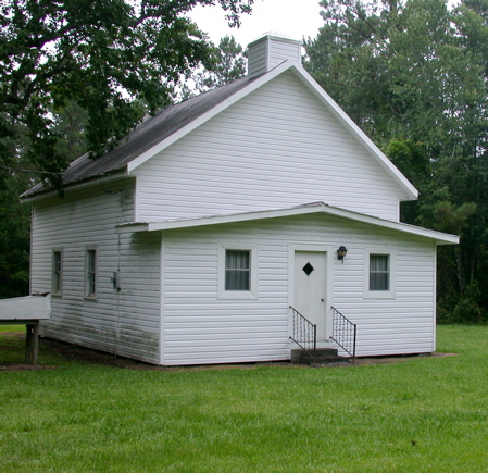
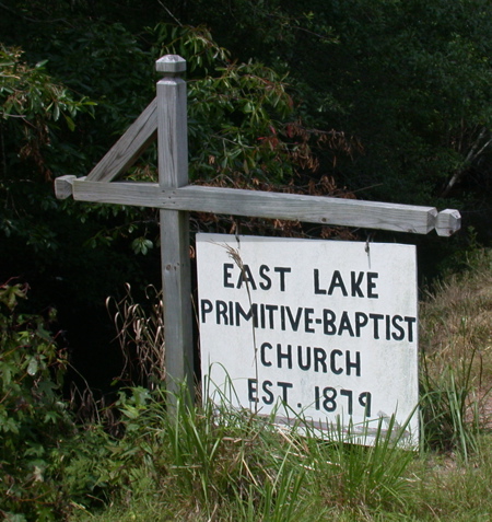
| Location | : | East Lake, Dare County, USA |
| Coordinate | : | 35.8797470, -75.9308740 |
frequently asked questions (FAQ):
-
Where is East Lake Baptist Church Cemetery?
East Lake Baptist Church Cemetery is located at East Lake, Dare County ,North Carolina ,USA.
-
East Lake Baptist Church Cemetery cemetery's updated grave count on graveviews.com?
2 memorials
-
Where are the coordinates of the East Lake Baptist Church Cemetery?
Latitude: 35.8797470
Longitude: -75.9308740

Nearby Cemetories:
1. East Lake Methodist Church Cemetery
East Lake, Dare County, USA
Coordinate: 35.8704410, -75.9243550
2. Creef's Family Cemetery
East Lake, Dare County, USA
Coordinate: 35.8718140, -75.8854920
3. Midgett Family
Manns Harbor, Dare County, USA
Coordinate: 35.9072000, -75.7751500
4. Cox Family Cemetery
Manns Harbor, Dare County, USA
Coordinate: 35.8959040, -75.7714710
5. Mount Carmel United Methodist Church Cemetery
Manns Harbor, Dare County, USA
Coordinate: 35.8914650, -75.7697600
6. Midgett Cemetery
Manns Harbor, Dare County, USA
Coordinate: 35.8879200, -75.7679400
7. Mann Cemetery
Manns Harbor, Dare County, USA
Coordinate: 35.8982380, -75.7678780
8. Twiford Cemetery
Manns Harbor, Dare County, USA
Coordinate: 35.8867780, -75.7649290
9. Wesley Chapel Methodist Church Cemetery
Columbia, Tyrrell County, USA
Coordinate: 35.9573050, -76.0832410
10. Saint John Baptist Church Cemetery
Alligator, Tyrrell County, USA
Coordinate: 35.9108800, -76.1109200
11. Alligator Chapel Cemetery
Columbia, Tyrrell County, USA
Coordinate: 35.9681360, -76.0792860
12. Spruill Family Cemetery
Alligator, Tyrrell County, USA
Coordinate: 35.9487100, -76.1011200
13. Holmes Cemetery
Newfoundland, Tyrrell County, USA
Coordinate: 35.9539180, -76.1228510
14. Black Walnut
Columbia, Tyrrell County, USA
Coordinate: 35.9467440, -76.1277010
15. Armstrong Family Cemetery
Alligator, Tyrrell County, USA
Coordinate: 35.9501280, -76.1294160
16. Dough Cemetery
Roanoke Island, Dare County, USA
Coordinate: 35.9389534, -75.7176743
17. Meekins Cemetery
Manteo, Dare County, USA
Coordinate: 35.9215070, -75.7114280
18. Fort Raleigh National Historic Site
Roanoke Island, Dare County, USA
Coordinate: 35.9363829, -75.7123834
19. Captain Richard Etheridge Family Cemetery
Dare County, USA
Coordinate: 35.9180290, -75.7041940
20. Dough Cemetery
Manteo, Dare County, USA
Coordinate: 35.9377110, -75.7049030
21. Wescott Cemetery
Manteo, Dare County, USA
Coordinate: 35.9182370, -75.6984830
22. Homer Cemetery
Manteo, Dare County, USA
Coordinate: 35.9148960, -75.6903040
23. Haven Creek Baptist Church Cemetery
Manteo, Dare County, USA
Coordinate: 35.9033920, -75.6880330
24. Roanoke Island Baptist Church Cemetery
Manteo, Dare County, USA
Coordinate: 35.9323020, -75.6929590