
| Memorials | : | 4 |
| Location | : | Vinita, Craig County, USA |
| Phone | : | 918-256-7841 |
| Coordinate | : | 36.6565770, -95.1093290 |
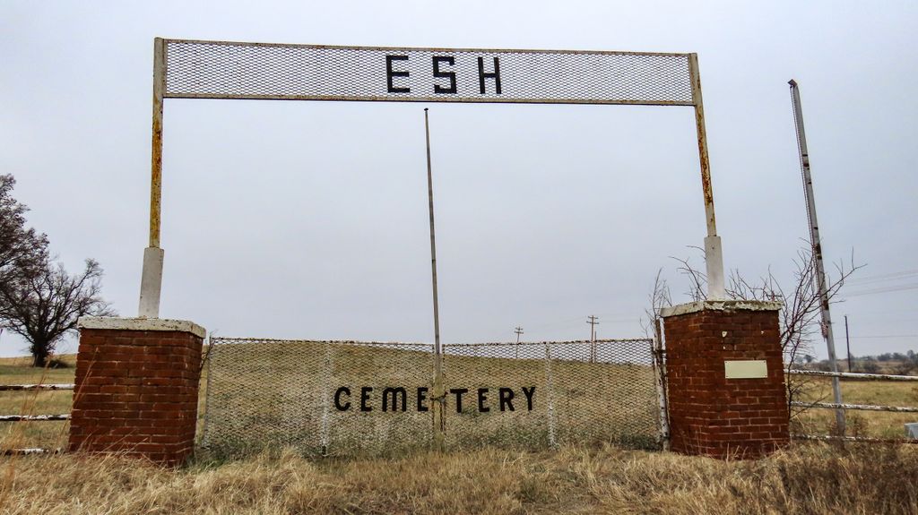
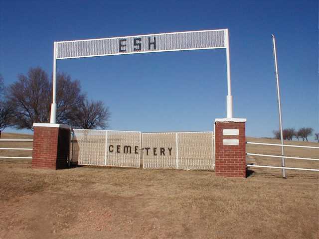
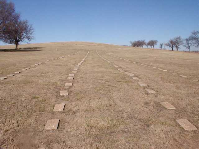
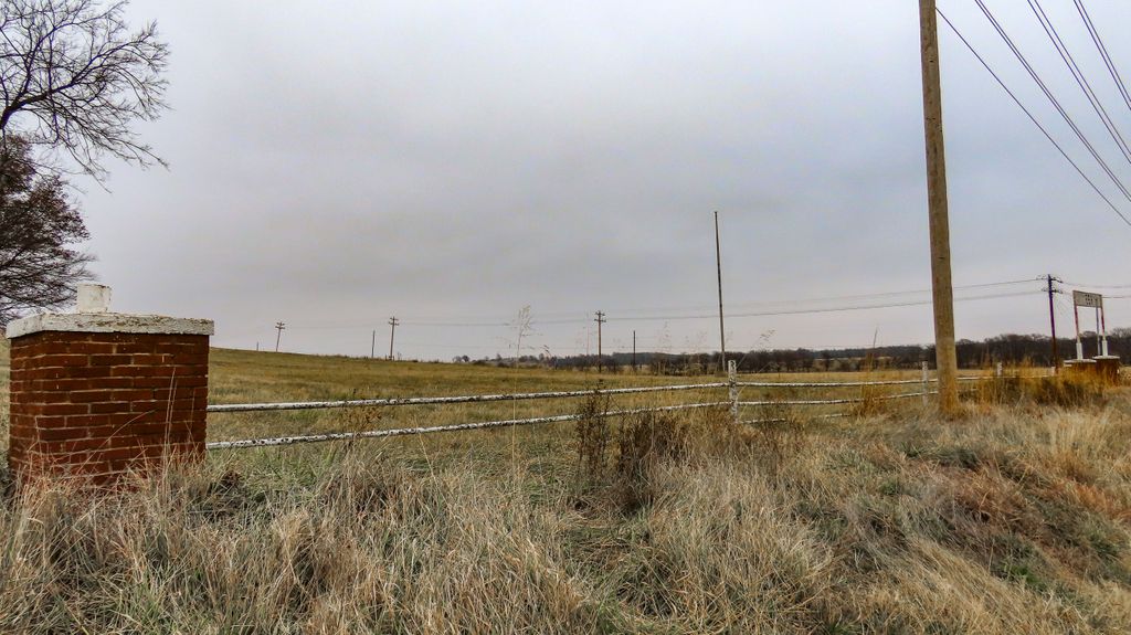
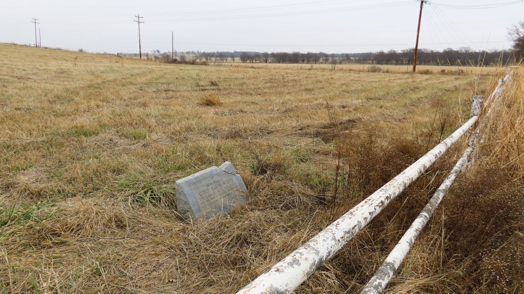
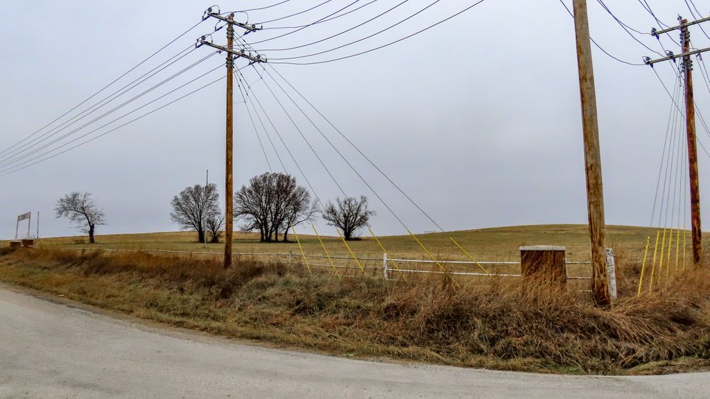
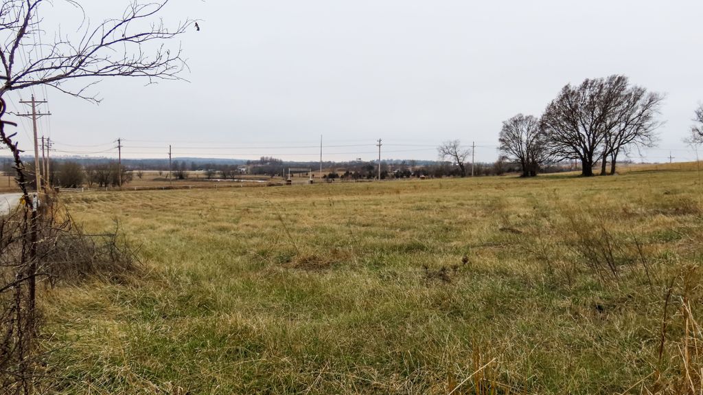
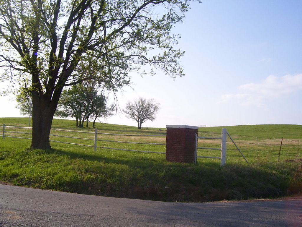
| Description | : | Important Note: This cemetery is on state owned land. Permission must be obtained before entering the cemetery and you must be accompanied by a state official. Eastern Oklahoma Hospital Cemetery was associated with Eastern Oklahoma Hospital for the Insane which was established in 1909. The cemetery is part of 160 acres given to the State by the City of Vinita. For a time the hospital included TB wards in addition to the primary mental health facility. Only patients of the hospital were buried in the cemetery. It is unclear whether TB patients who died at the hospital were also... Read More |
frequently asked questions (FAQ):
-
Where is Eastern Oklahoma State Hospital Cemetery?
Eastern Oklahoma State Hospital Cemetery is located at South 4430 Road Vinita, Craig County ,Oklahoma , 74301USA.
-
Eastern Oklahoma State Hospital Cemetery cemetery's updated grave count on graveviews.com?
4 memorials
-
Where are the coordinates of the Eastern Oklahoma State Hospital Cemetery?
Latitude: 36.6565770
Longitude: -95.1093290

Nearby Cemetories:
1. Fairview Cemetery
Vinita, Craig County, USA
Coordinate: 36.6533012, -95.1402969
2. Cherry Family Cemetery
Vinita, Craig County, USA
Coordinate: 36.7141200, -95.1255800
3. Donnelly Cemetery
Vinita, Craig County, USA
Coordinate: 36.6713982, -95.1960983
4. King Family Cemetery
Vinita, Craig County, USA
Coordinate: 36.5980400, -95.0520800
5. Landrum Family Graveyard
Vinita, Craig County, USA
Coordinate: 36.5827600, -95.1457400
6. Landrum Cemetery
Vinita, Craig County, USA
Coordinate: 36.5825005, -95.1455994
7. Keys Cemetery
Craig County, USA
Coordinate: 36.7136002, -95.1832962
8. Pheasant Hill Cemetery
Vinita, Craig County, USA
Coordinate: 36.7181015, -95.1883011
9. Bluejacket Family Cemetery
Kelso, Craig County, USA
Coordinate: 36.7126236, -95.1947556
10. Schrimsher Cemetery
Vinita, Craig County, USA
Coordinate: 36.7428017, -95.1821976
11. Ketchum Family Cemetery
Ketchum, Craig County, USA
Coordinate: 36.5474190, -95.0961510
12. Longtail Cemetery
Craig County, USA
Coordinate: 36.6758003, -95.2553024
13. Mount Hope Cemetery
Afton, Ottawa County, USA
Coordinate: 36.7066994, -94.9693985
14. McGlothen Cemetery
Cleora, Delaware County, USA
Coordinate: 36.5937398, -94.9721614
15. Carselowey Cemetery
Ketchum, Craig County, USA
Coordinate: 36.5292015, -95.1141968
16. Deal Cemetery
Craig County, USA
Coordinate: 36.6844200, -95.2643900
17. Timpson Chapel Cemetery
Estella, Craig County, USA
Coordinate: 36.6825000, -95.2715300
18. White Oak Cemetery
White Oak, Craig County, USA
Coordinate: 36.5932999, -95.2611008
19. Sixkiller Cemetery
Bernice, Delaware County, USA
Coordinate: 36.6453018, -94.9383011
20. Bluejacket Cemetery
Bluejacket, Craig County, USA
Coordinate: 36.7906300, -95.0550900
21. West Point Cemetery
Vinita, Craig County, USA
Coordinate: 36.7778015, -95.2055969
22. McAffrey Family Cemetery
Bernice, Delaware County, USA
Coordinate: 36.6004000, -94.9407000
23. Ballard Cemetery
Bernice, Delaware County, USA
Coordinate: 36.6278000, -94.9261017
24. Ketchum Cemetery
Ketchum, Craig County, USA
Coordinate: 36.5245000, -95.0173400