
| Memorials | : | 18 |
| Location | : | West Point, Morrow County, USA |
| Coordinate | : | 40.6702430, -82.7660500 |
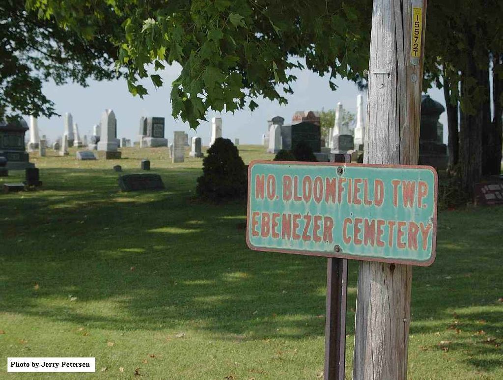
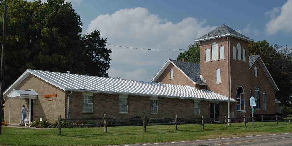
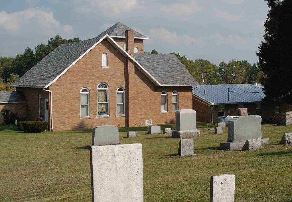
| Description | : | The cemetery is located on the west side of Williamsport-Galion Road (Ohio State Route 19) about 0.1 miles north of its intersection with Iberia-Bellville Road (Township Road 49). The cemetery is 1.5 acres in size. The cemetery is located in North Bloomfield Township, Morrow County, Ohio, and is # 8675 (Ebenezer Methodist Episcopal Cemetery) in “Ohio Cemeteries 1803-2003”, compiled by the Ohio Genealogical Society. The cemetery is registered with the Ohio Division of Real Estate and Professional Licensing (ODRE) as Ebenezer Cemetery with registration license number CGR.0000982738. The U.S. Geological Survey (USGS) Geographic Names Information System (GNIS) feature... Read More |
frequently asked questions (FAQ):
-
Where is Ebenezer Methodist Episcopal Cemetery?
Ebenezer Methodist Episcopal Cemetery is located at Williamsport-Galion Road (Ohio State Route 19) West Point, Morrow County ,Ohio , 44833USA.
-
Ebenezer Methodist Episcopal Cemetery cemetery's updated grave count on graveviews.com?
16 memorials
-
Where are the coordinates of the Ebenezer Methodist Episcopal Cemetery?
Latitude: 40.6702430
Longitude: -82.7660500
Nearby Cemetories:
1. Dye Cemetery
Morrow County, USA
Coordinate: 40.6910950, -82.7775550
2. Bortner Cemetery
Morrow County, USA
Coordinate: 40.6531142, -82.7412886
3. Garverick Cemetery
West Point, Morrow County, USA
Coordinate: 40.6394005, -82.7658005
4. West Point Cemetery
West Point, Morrow County, USA
Coordinate: 40.6366997, -82.7844009
5. Tuttle Cemetery
Morrow County, USA
Coordinate: 40.6925011, -82.8210983
6. Goodrich Cemetery
Washington Township, Morrow County, USA
Coordinate: 40.6981820, -82.8175930
7. Parrott Family Cemetery
Morrow County, USA
Coordinate: 40.6468198, -82.8215029
8. Iberia Cemetery
Iberia, Morrow County, USA
Coordinate: 40.6683006, -82.8343964
9. Blooming Grove Cemetery
Morrow County, USA
Coordinate: 40.7108911, -82.7176773
10. Pleasant Grove Cemetery
West Point, Morrow County, USA
Coordinate: 40.6170000, -82.7474000
11. Forbes Cemetery
Morrow County, USA
Coordinate: 40.7042007, -82.8268967
12. Autin Cemetery
Washington Township, Morrow County, USA
Coordinate: 40.7122002, -82.8264008
13. Ross Cemetery
Morrow County, USA
Coordinate: 40.6810989, -82.6817017
14. Peace Lutheran Church Columbarium
Galion, Crawford County, USA
Coordinate: 40.7331469, -82.7897680
15. Union Green Cemetery
Galion, Crawford County, USA
Coordinate: 40.7359860, -82.7919280
16. Park Cemetery
Galion, Crawford County, USA
Coordinate: 40.7266410, -82.8213790
17. Armstrong Cemetery
Washington Township, Morrow County, USA
Coordinate: 40.6144000, -82.8228960
18. Moffit Cemetery
Morrow County, USA
Coordinate: 40.6027985, -82.7983017
19. Mount Tabor Methodist Episcopal Cemetery
Mount Gilead, Morrow County, USA
Coordinate: 40.5958900, -82.7662900
20. Haldeman Cemetery
Morrow County, USA
Coordinate: 40.6591988, -82.6667023
21. Galion Mausoleum
Galion, Crawford County, USA
Coordinate: 40.7490980, -82.7810380
22. Mount Calvary Catholic Cemetery
Galion, Crawford County, USA
Coordinate: 40.7498660, -82.7811778
23. Walters Cemetery
Morrow County, USA
Coordinate: 40.6478004, -82.6639023
24. Line Cemetery
Galion, Crawford County, USA
Coordinate: 40.7477120, -82.7357200