
| Memorials | : | 146 |
| Location | : | Edgworth, Blackburn with Darwen Unitary Authority, England |
| Coordinate | : | 53.6476280, -2.3967210 |
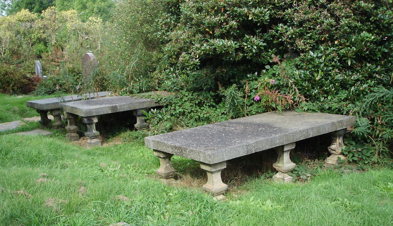
| Description | : | A lonely graveyard in Horrocks Fold. The chapel has been demolished. |
frequently asked questions (FAQ):
-
Where is Edgworth Congregational Chapelyard?
Edgworth Congregational Chapelyard is located at Edgworth, Blackburn with Darwen Unitary Authority ,Lancashire ,England.
-
Edgworth Congregational Chapelyard cemetery's updated grave count on graveviews.com?
146 memorials
-
Where are the coordinates of the Edgworth Congregational Chapelyard?
Latitude: 53.6476280
Longitude: -2.3967210
Nearby Cemetories:
1. Methodist Church Churchyard
Edgworth, Blackburn with Darwen Unitary Authority, England
Coordinate: 53.6424280, -2.3962830
2. St. Anne's Churchyard
Chapeltown, Blackburn with Darwen Unitary Authority, England
Coordinate: 53.6371710, -2.4030440
3. Hawkshaw Methodist Church Cemetery
Hawkshaw, Metropolitan Borough of Bury, England
Coordinate: 53.6313490, -2.3674190
4. St Mary Churchyard
Hawkshaw, Metropolitan Borough of Bury, England
Coordinate: 53.6307270, -2.3636210
5. Congregational Churchyard
Affetside, Metropolitan Borough of Bury, England
Coordinate: 53.6175200, -2.3705800
6. Christ Church Churchyard
Egerton, Metropolitan Borough of Bolton, England
Coordinate: 53.6237080, -2.4389210
7. Tottington Road Methodist Church Churchyard
Harwood, Metropolitan Borough of Bolton, England
Coordinate: 53.6079190, -2.3904960
8. Emmanuel Churchyard
Holcombe, Metropolitan Borough of Bury, England
Coordinate: 53.6463000, -2.3293400
9. Greenmount United Reformed Churchyard
Greenmount, Metropolitan Borough of Bury, England
Coordinate: 53.6254581, -2.3381465
10. St. Maxentius Churchyard
Bradshaw, Metropolitan Borough of Bolton, England
Coordinate: 53.6056800, -2.4014800
11. Ramsbottom Cemetery
Ramsbottom, Metropolitan Borough of Bury, England
Coordinate: 53.6372986, -2.3271000
12. Harwood Methodist Church Cemetery
Harwood, Metropolitan Borough of Bolton, England
Coordinate: 53.6028240, -2.3903990
13. Darwen Eastern Cemetery
Darwen, Blackburn with Darwen Unitary Authority, England
Coordinate: 53.6769300, -2.4547700
14. St Anne Churchyard
Tottington, Metropolitan Borough of Bury, England
Coordinate: 53.6161499, -2.3409030
15. St. John's Churchyard
Tottington, Metropolitan Borough of Bury, England
Coordinate: 53.6141180, -2.3400670
16. Darwen Cemetery
Darwen, Blackburn with Darwen Unitary Authority, England
Coordinate: 53.6781400, -2.4598300
17. St Paul Churchyard
Astley Bridge, Metropolitan Borough of Bolton, England
Coordinate: 53.5996230, -2.4314330
18. Stubbins Congregational Chapelyard
Rossendale Borough, England
Coordinate: 53.6626600, -2.3110700
19. Christ Church Churchyard
Harwood, Metropolitan Borough of Bolton, England
Coordinate: 53.5948860, -2.3821990
20. Bolton Cemetery
Astley Bridge, Metropolitan Borough of Bolton, England
Coordinate: 53.5989150, -2.4370830
21. Rowlands Methodist Churchyard
Summerseat, Metropolitan Borough of Bury, England
Coordinate: 53.6294360, -2.3102920
22. St. Paul's Churchyard
Darwen, Blackburn with Darwen Unitary Authority, England
Coordinate: 53.6979270, -2.4318640
23. Pickup Bank Congregational Chapel
Pickup Bank, Blackburn with Darwen Unitary Authority, England
Coordinate: 53.7012440, -2.4164220
24. St. John-in-the-Wilderness Churchyard
Shuttleworth, Metropolitan Borough of Bury, England
Coordinate: 53.6556300, -2.3046500