
| Memorials | : | 0 |
| Location | : | Tallahassee, Leon County, USA |
| Coordinate | : | 30.4199000, -84.0564100 |
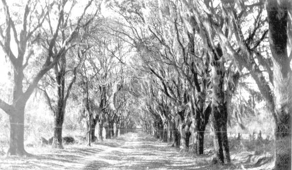
| Description | : | This cemetery is located on the El Destino Plantation outside Tallahassee and is owned by the Gem Land Company. No public access. The cemetery is overgrown and not kept. There were two additional graves that are illegible. |
frequently asked questions (FAQ):
-
Where is El Destino Plantation Cemetery?
El Destino Plantation Cemetery is located at Tallahassee, Leon County ,Florida ,USA.
-
El Destino Plantation Cemetery cemetery's updated grave count on graveviews.com?
0 memorials
-
Where are the coordinates of the El Destino Plantation Cemetery?
Latitude: 30.4199000
Longitude: -84.0564100
Nearby Cemetories:
1. Jones Cemetery
Jefferson County, USA
Coordinate: 30.4333000, -84.0560989
2. Skipper Cemetery
Chaires, Leon County, USA
Coordinate: 30.4202995, -84.0916977
3. Footman Cemetery
Capitola, Leon County, USA
Coordinate: 30.4474640, -84.0740350
4. Capitola Cemetery
Capitola, Leon County, USA
Coordinate: 30.4437090, -84.0840610
5. Lott Cemetery
Jefferson County, USA
Coordinate: 30.3882999, -84.0357971
6. Mount Zion AME Church Cemetery
Lloyd, Jefferson County, USA
Coordinate: 30.4303000, -84.0160600
7. Saint Phillip AME Church Cemetery
Wacissa, Jefferson County, USA
Coordinate: 30.4049430, -84.0069430
8. Broomsage Family Cemetery
Jefferson County, USA
Coordinate: 30.3764000, -84.0263977
9. Springfield Cemetery
Lloyd, Jefferson County, USA
Coordinate: 30.4593500, -84.0139500
10. Thomas Peter Chaires Cemetery
Chaires, Leon County, USA
Coordinate: 30.4169290, -84.1212420
11. Robinson Family Cemetery
Capitola, Leon County, USA
Coordinate: 30.4769000, -84.0628300
12. Saint Paul AME Church Cemetery
Chaires, Leon County, USA
Coordinate: 30.4343150, -84.1209690
13. Cody Pentecostal Holiness Church Cemetery
Jefferson County, USA
Coordinate: 30.3621680, -84.0537350
14. Greater Elizabeth Missionary Baptist Cemetery
Lloyd, Jefferson County, USA
Coordinate: 30.4783730, -84.0361620
15. Speed-Lockett Cemetery
Wadesboro, Leon County, USA
Coordinate: 30.4893890, -84.0490600
16. Chaires Family Cemetery
Tallahassee, Leon County, USA
Coordinate: 30.4425230, -84.1334830
17. Willie New Cemetery
Lloyd, Jefferson County, USA
Coordinate: 30.4840900, -84.0131700
18. Willie Cemetery (Defunct)
Jefferson County, USA
Coordinate: 30.4953700, -84.0337400
19. Connell Cemetery
Limestone, Jefferson County, USA
Coordinate: 30.3405260, -84.0454290
20. Green Hill Chaires Cemetery
Tallahassee, Leon County, USA
Coordinate: 30.4481000, -84.1452100
21. Beth Page Cemetery
Jefferson County, USA
Coordinate: 30.3688050, -83.9783350
22. Miller-Jones Cemetery
Baum, Leon County, USA
Coordinate: 30.5023700, -84.0781000
23. Gopher Ridge Cemetery
Chaires, Leon County, USA
Coordinate: 30.4478500, -84.1490800
24. Story-Snyder Cemetery
Wacissa, Jefferson County, USA
Coordinate: 30.3578400, -83.9880800