
| Memorials | : | 131 |
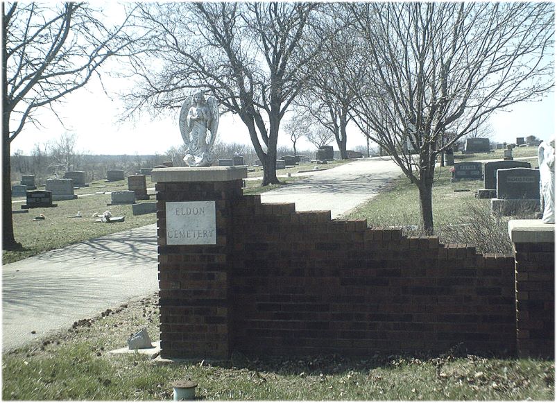
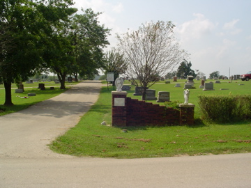
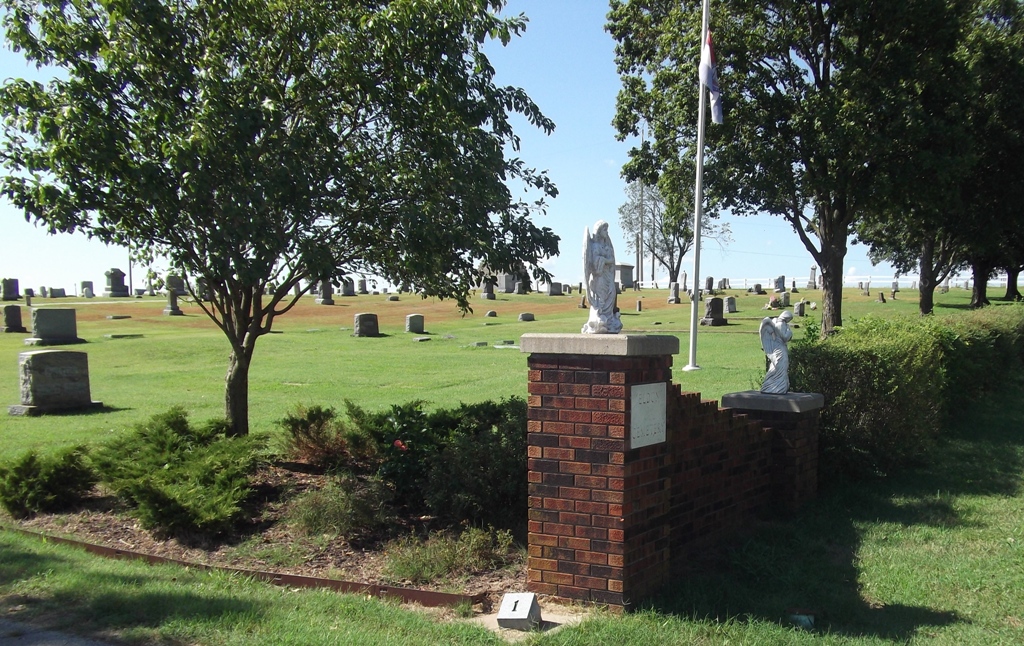
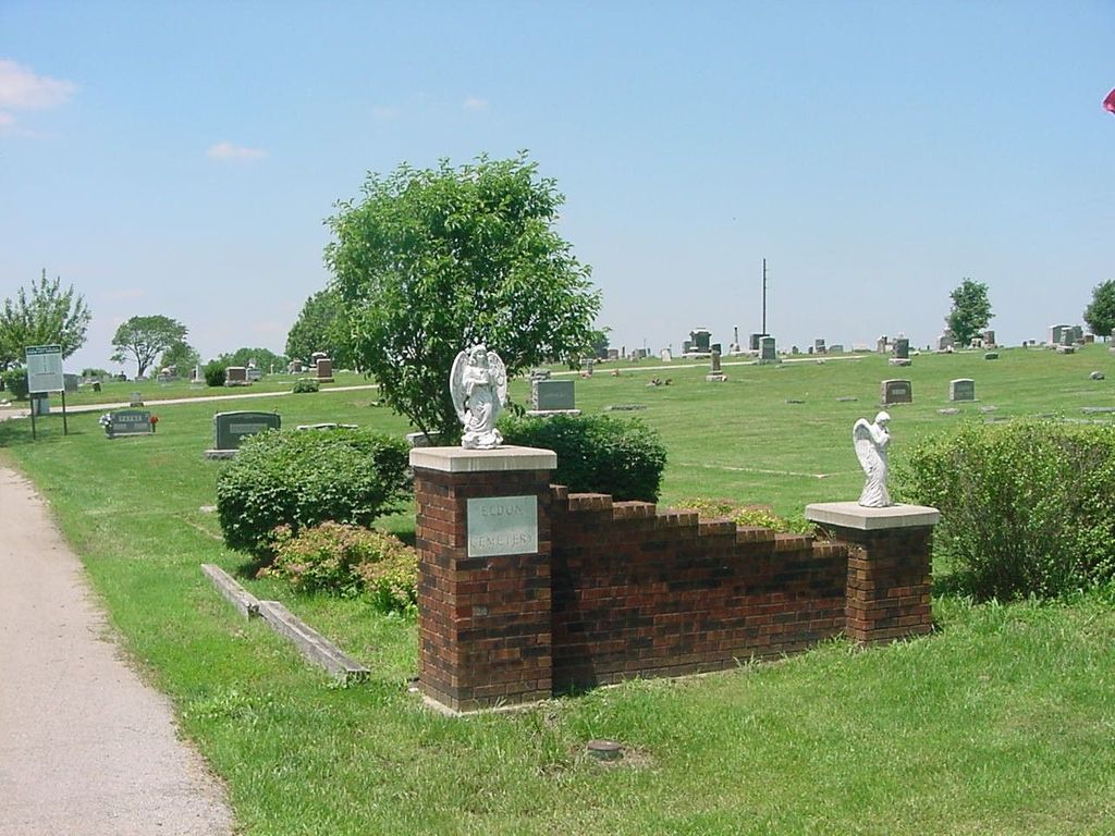
| Location | : | Eldon, Miller County, USA |
| Coordinate | : | 38.3642006, -92.5868988 |
frequently asked questions (FAQ):
-
Where is Eldon Cemetery?
Eldon Cemetery is located at Eldon, Miller County ,Missouri ,USA.
-
Eldon Cemetery cemetery's updated grave count on graveviews.com?
119 memorials
-
Where are the coordinates of the Eldon Cemetery?
Latitude: 38.3642006
Longitude: -92.5868988
Nearby Cemetories:
1. Salem Cemetery
Eldon, Miller County, USA
Coordinate: 38.3697014, -92.5714035
2. Salem Cemetery
Saline Township, Miller County, USA
Coordinate: 38.3691232, -92.5697260
3. Mount Vernon Cemetery
Eldon, Miller County, USA
Coordinate: 38.3624992, -92.5606003
4. Taylor Cemetery
Eldon, Miller County, USA
Coordinate: 38.3443985, -92.6303024
5. Hite Cemetery
Miller County, USA
Coordinate: 38.4039001, -92.5935974
6. Mount Pleasant Cemetery
Eldon, Miller County, USA
Coordinate: 38.3667700, -92.5300800
7. Green Ridge Baptist Church Cemetery
Eldon, Miller County, USA
Coordinate: 38.4116200, -92.5645700
8. Dooley Cemetery
Eldon, Miller County, USA
Coordinate: 38.3191400, -92.6353500
9. Olean Cemetery
Olean, Miller County, USA
Coordinate: 38.4131012, -92.5413971
10. Greenmore Memorial Gardens
Barnett, Morgan County, USA
Coordinate: 38.3787155, -92.6676254
11. White Cemetery
Miller County, USA
Coordinate: 38.3408012, -92.6647034
12. Colburn Cemetery
Eldon, Miller County, USA
Coordinate: 38.4246300, -92.6275500
13. Artz-Wenzel Cemetery
Eldon, Miller County, USA
Coordinate: 38.2980995, -92.5622025
14. Phillips Cemetery
Barnett, Morgan County, USA
Coordinate: 38.4227982, -92.6367035
15. Etter-Walker Cemetery
Burris Fork, Moniteau County, USA
Coordinate: 38.4333700, -92.5525400
16. Walker Cemetery
Moniteau County, USA
Coordinate: 38.4338989, -92.5522003
17. Phillips Cemetery
High Point, Moniteau County, USA
Coordinate: 38.4430300, -92.6125300
18. Farris Cemetery
Moniteau County, USA
Coordinate: 38.4369900, -92.5380000
19. Allen Cemetery
Olean, Miller County, USA
Coordinate: 38.4150009, -92.5008011
20. Skinner Cemetery
Miller County, USA
Coordinate: 38.2806015, -92.5481033
21. Jackson Chapel Methodist Church Cemetery
California, Moniteau County, USA
Coordinate: 38.4447900, -92.5286500
22. Gray Cemetery
Moniteau County, USA
Coordinate: 38.4536018, -92.5456009
23. Blue Springs Cemetery
Eldon, Miller County, USA
Coordinate: 38.2778015, -92.6603012
24. Kelsay Cemetery
Miller County, USA
Coordinate: 38.2663994, -92.5397034