
| Memorials | : | 0 |
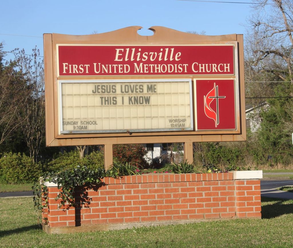
| Location | : | Ellisville, Jones County, USA |
| Coordinate | : | 31.6016940, -89.1943200 |
| Description | : | There will only be one person ever buried here. When the girl was ill and feared she may die, she asked to be buried in the church yard. She wanted to be buried there because she loved to hear the choir sing. Since she died the church has been rebuilt and the area where she was buried is now a community playground for children. Her grave is next to a swing set. |
frequently asked questions (FAQ):
-
Where is Ellisville First United Methodist Grave?
Ellisville First United Methodist Grave is located at Ellisville, Jones County ,Mississippi ,USA.
-
Ellisville First United Methodist Grave cemetery's updated grave count on graveviews.com?
0 memorials
-
Where are the coordinates of the Ellisville First United Methodist Grave?
Latitude: 31.6016940
Longitude: -89.1943200
Nearby Cemetories:
1. Ellisville Cemetery
Ellisville, Jones County, USA
Coordinate: 31.5958004, -89.1975021
2. Bynum Cemetery
Ellisville, Jones County, USA
Coordinate: 31.6030998, -89.1844025
3. Anderson-Minter Cemetery
Ellisville, Jones County, USA
Coordinate: 31.6056004, -89.1808014
4. Dubose Street Cemetery
Ellisville, Jones County, USA
Coordinate: 31.6013908, -89.2122192
5. Tula Rosa Cemetery
Ellisville, Jones County, USA
Coordinate: 31.5797005, -89.1971970
6. Adams Cemetery
Ellisville, Jones County, USA
Coordinate: 31.6241240, -89.1966310
7. Ellisville State School Cemetery
Ellisville, Jones County, USA
Coordinate: 31.5873690, -89.2245310
8. Walters Cemetery
Ellisville, Jones County, USA
Coordinate: 31.5985410, -89.1575130
9. Walters Cemetery
Ellisville, Jones County, USA
Coordinate: 31.5985320, -89.1571000
10. Oak Grove Baptist Church Cemetery
Ellisville, Jones County, USA
Coordinate: 31.5971900, -89.1554400
11. Cedar Grove Cemetery
Ellisville, Jones County, USA
Coordinate: 31.6459770, -89.2027490
12. Benoit Cemetery
Ellisville, Jones County, USA
Coordinate: 31.6463400, -89.2027840
13. Woodlawn Cemetery
Ellisville, Jones County, USA
Coordinate: 31.6474991, -89.1808014
14. Currie Cemetery
Currie, Jones County, USA
Coordinate: 31.6275005, -89.1477966
15. Pleasant Grove Baptist Church Cemetery
Ellisville, Jones County, USA
Coordinate: 31.5580597, -89.2191696
16. Hinton Cemetery
Ellisville, Jones County, USA
Coordinate: 31.6085100, -89.2507200
17. White Oak Baptist Church Cemetery
Pecan Grove, Jones County, USA
Coordinate: 31.5735626, -89.1374893
18. Pilgrim Cemetery
Jones County, USA
Coordinate: 31.5461006, -89.2024994
19. Pilgrims Rest Cemetery
Jones County, USA
Coordinate: 31.6578007, -89.1844025
20. Pleasant Ridge Road Baptist Cemetery
Ellisville, Jones County, USA
Coordinate: 31.6511700, -89.2300300
21. Mack Brown Cemetery
Johnson, Jones County, USA
Coordinate: 31.5519009, -89.1549988
22. Mount Zion Cemetery
Laurel, Jones County, USA
Coordinate: 31.6469002, -89.2485962
23. New Hope Baptist Church Cemetery
Oak Grove, Jones County, USA
Coordinate: 31.5390320, -89.2141880
24. Johnson Cemetery
Jones County, USA
Coordinate: 31.5335999, -89.1706009