
| Memorials | : | 0 |
| Location | : | Cedar Creek, Bastrop County, USA |
| Coordinate | : | 30.1123900, -97.5176950 |
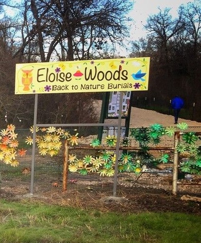
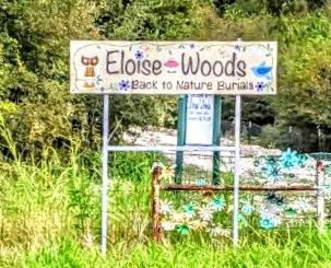
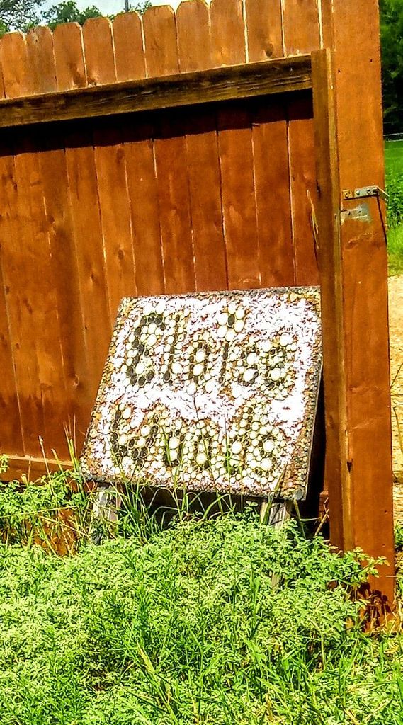
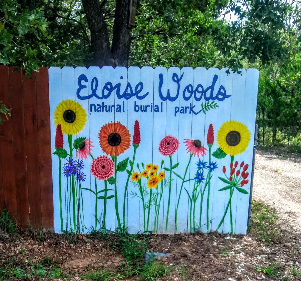
| Description | : | Eloise Woods is a strictly green or natural cemetery. |
frequently asked questions (FAQ):
-
Where is Eloise Woods Community Natural Burial Park?
Eloise Woods Community Natural Burial Park is located at 115 Northside Lane Cedar Creek, Bastrop County ,Texas , 78612USA.
-
Eloise Woods Community Natural Burial Park cemetery's updated grave count on graveviews.com?
0 memorials
-
Where are the coordinates of the Eloise Woods Community Natural Burial Park?
Latitude: 30.1123900
Longitude: -97.5176950
Nearby Cemetories:
1. Lower Cedar Creek Cemetery
Cedar Creek, Bastrop County, USA
Coordinate: 30.0883007, -97.5121994
2. Upper Cedar Creek Cemetery
Cedar Creek, Bastrop County, USA
Coordinate: 30.0835991, -97.5233002
3. Addison Litton Cemetery
Cedar Creek, Bastrop County, USA
Coordinate: 30.0850300, -97.4932800
4. Sol Wright Cemetery
Bastrop, Bastrop County, USA
Coordinate: 30.1036700, -97.4776700
5. Williams Family Cemetery
Cedar Creek, Bastrop County, USA
Coordinate: 30.1465690, -97.4825380
6. Saint Paul Cemetery
Bastrop, Bastrop County, USA
Coordinate: 30.1545870, -97.4836320
7. Saint John
Cedar Creek, Bastrop County, USA
Coordinate: 30.0693800, -97.4828900
8. Camposanto de Cedar Creek
Cedar Creek, Bastrop County, USA
Coordinate: 30.0648430, -97.4870880
9. Speck Family
Bastrop, Bastrop County, USA
Coordinate: 30.1211100, -97.4427200
10. Alexander Eldridge Cemetery
Cedar Creek, Bastrop County, USA
Coordinate: 30.0791600, -97.4451300
11. Moss Branch Collins Ranch
Bastrop, Bastrop County, USA
Coordinate: 30.1771860, -97.4786000
12. Alum Creek DeShay Cemetery
Cedar Creek, Bastrop County, USA
Coordinate: 30.0372189, -97.5003241
13. Mount Olive Cemetery
Cedar Creek, Bastrop County, USA
Coordinate: 30.1056300, -97.4277600
14. Jency Brown Cemetery
Cedar Creek, Bastrop County, USA
Coordinate: 30.0820800, -97.4166800
15. Caldwell
Cedar Creek, Bastrop County, USA
Coordinate: 30.0718700, -97.6148100
16. Martinez Pet Cemetery
Cedar Creek, Bastrop County, USA
Coordinate: 30.0158215, -97.5543900
17. Walker-Watson Mexican Cemetery
Utley, Bastrop County, USA
Coordinate: 30.1494990, -97.4076350
18. Walker-Watson Cemetery
Bastrop County, USA
Coordinate: 30.1497540, -97.4076190
19. Saint Mary's Colony Baptist Church Cemetery
Bastrop County, USA
Coordinate: 30.0666600, -97.6249000
20. Carroll Cemetery
Red Rock, Bastrop County, USA
Coordinate: 30.0165320, -97.4546210
21. Colorado Chapel Cemetery
Utley, Bastrop County, USA
Coordinate: 30.1929600, -97.4286100
22. Warnell
Cedar Creek, Bastrop County, USA
Coordinate: 30.0219300, -97.5940000
23. Blaylock Cemetery
Bastrop County, USA
Coordinate: 30.0236470, -97.5967980
24. High Grove Cemetery
Bastrop County, USA
Coordinate: 30.0007820, -97.5035457