| Memorials | : | 1 |
| Location | : | Tilghmanton, Washington County, USA |
| Coordinate | : | 39.5265850, -77.7306050 |
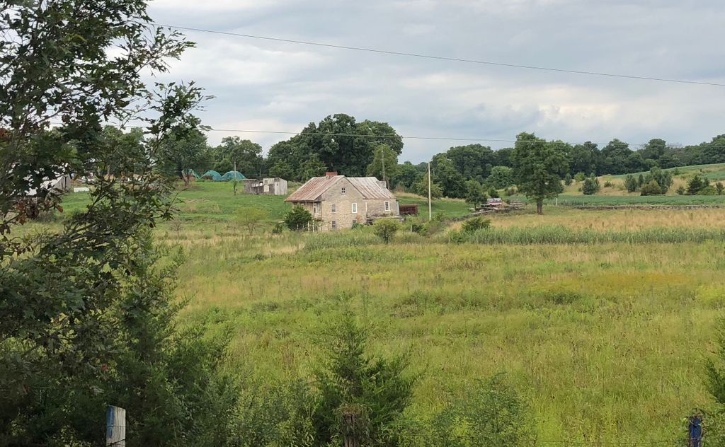
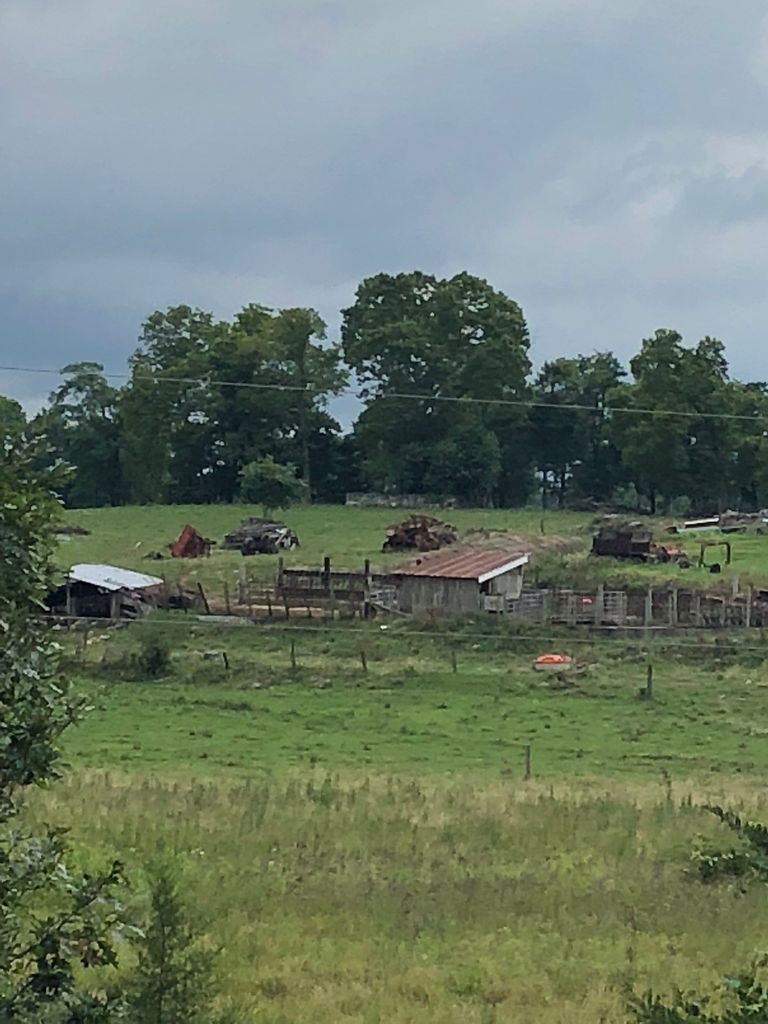
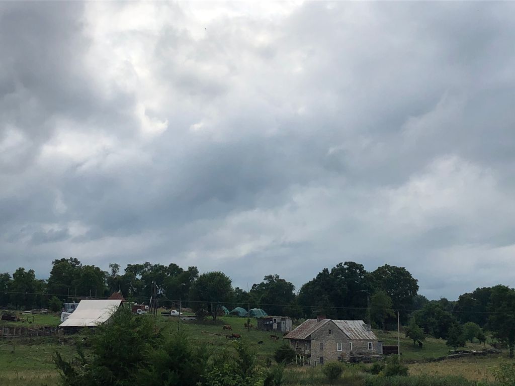
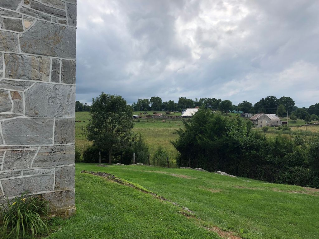
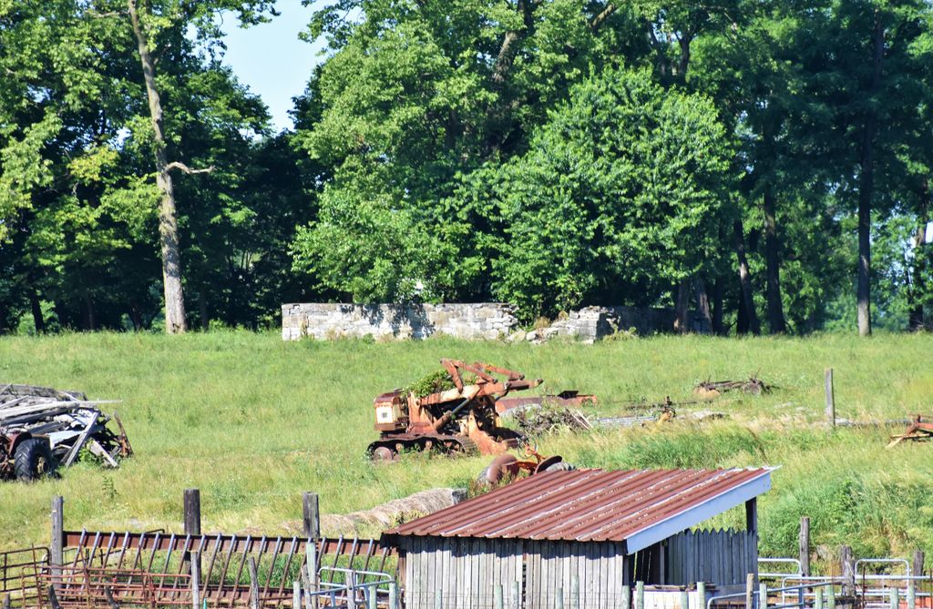
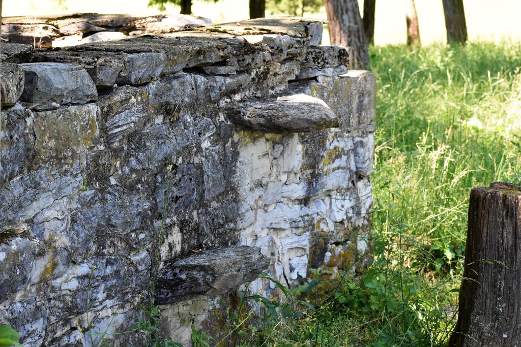
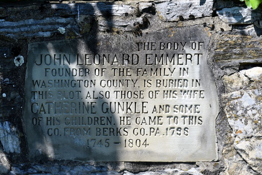
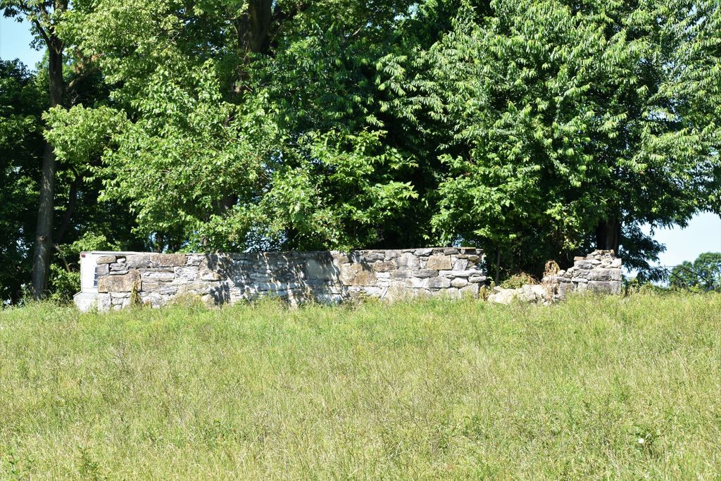
| Description | : | The Emmert Graveyard is located on private land about 350 meters southwest of the Manor Church of the Brethren in Tilghmanton. The earliest recorded burial here was of family patriarch, the “Old Pathfinder” John Leonard Emmert, in September of 1804. Most grave markers here are of simple fieldstone in keeping with the great modesty of Brethren faithful in those days. Only a few stones have any kind of identifying marks, and those few are mostly illegible. For more than a century, the Emmert Graveyard lay in an open pasture and was lovingly maintained by the Emmert family. However,... Read More |
frequently asked questions (FAQ):
-
Where is Emmert Graveyard?
Emmert Graveyard is located at Manor Church Road Tilghmanton, Washington County ,Maryland , 21713USA.
-
Emmert Graveyard cemetery's updated grave count on graveviews.com?
1 memorials
-
Where are the coordinates of the Emmert Graveyard?
Latitude: 39.5265850
Longitude: -77.7306050
Nearby Cemetories:
1. Manor Church of the Brethren Cemetery
Tilghmanton, Washington County, USA
Coordinate: 39.5285988, -77.7264023
2. Salem Lutheran Church Cemetery
Bakersville, Washington County, USA
Coordinate: 39.5135680, -77.7559970
3. Saint Marks Episcopal Church Cemetery
Lappans, Washington County, USA
Coordinate: 39.5508003, -77.7341995
4. Fairview Cemetery
Keedysville, Washington County, USA
Coordinate: 39.4882200, -77.7023600
5. Benevola United Methodist Church Cemetery
Benevola, Washington County, USA
Coordinate: 39.5452000, -77.6745000
6. Mumma Cemetery
Sharpsburg, Washington County, USA
Coordinate: 39.4780000, -77.7421900
7. Fountain Rock Cemetery
Saint James, Washington County, USA
Coordinate: 39.5753990, -77.7587110
8. Antietam National Battlefield
Sharpsburg, Washington County, USA
Coordinate: 39.4742126, -77.7445374
9. Mount Hebron Cemetery
Keedysville, Washington County, USA
Coordinate: 39.4824982, -77.6900024
10. Red Hill Cemetery
Keedysville, Washington County, USA
Coordinate: 39.4700100, -77.6989400
11. Old Salem Church Cemetery
Boonsboro, Washington County, USA
Coordinate: 39.5062590, -77.6543710
12. Trinity Reformed United Church of Christ Cemetery
Boonsboro, Washington County, USA
Coordinate: 39.5058300, -77.6542800
13. Abraham Lemaster Gravesite
Boonsboro, Washington County, USA
Coordinate: 39.5084763, -77.6521835
14. Boonsboro Cemetery
Boonsboro, Washington County, USA
Coordinate: 39.5045100, -77.6524700
15. Mount Zion Mennonite Church Cemetery
Mapleville, Washington County, USA
Coordinate: 39.5525017, -77.6530991
16. Mountain View Cemetery
Sharpsburg, Washington County, USA
Coordinate: 39.4604800, -77.7419500
17. Antietam National Cemetery
Sharpsburg, Washington County, USA
Coordinate: 39.4601400, -77.7417700
18. Mount Calvary Lutheran Cemetery
Sharpsburg, Washington County, USA
Coordinate: 39.4591751, -77.7432175
19. Meadow View Mennonite Church Cemetery
Hagerstown, Washington County, USA
Coordinate: 39.5937500, -77.7472000
20. Sharpsburg Reformed Cemetery
Sharpsburg, Washington County, USA
Coordinate: 39.4595900, -77.7486700
21. Johnson Cemetery
Shepherdstown, Jefferson County, USA
Coordinate: 39.4815800, -77.8002900
22. First Methodist Cemetery
Sharpsburg, Washington County, USA
Coordinate: 39.4581500, -77.7521700
23. Tolsons Chapel Cemetery
Sharpsburg, Washington County, USA
Coordinate: 39.4561900, -77.7463700
24. Swearingen Cemetery
Shepherdstown, Jefferson County, USA
Coordinate: 39.4884270, -77.8125330

