
| Memorials | : | 1 |
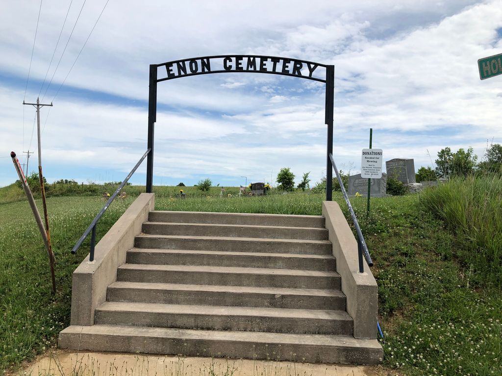
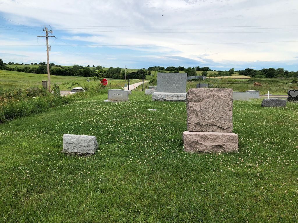
| Location | : | Macon County, USA |
| Coordinate | : | 39.8267970, -92.5822750 |
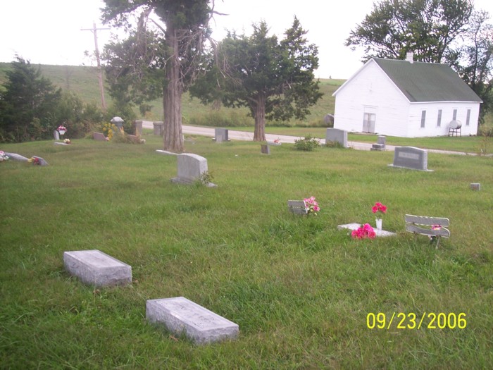
| Description | : | The cemetery shown in the photograph from Rebecca Bradley is South Enon Cemetery with the white building across the road Enon Church. Enon Cemetery is just behind the photographer. The two are separated by a gravel road, Holiday Place The road visible in the photograph from Rebecca Bradley is Mo. State Hwy OO. To get to Enon you need to go 2.5 miles north of Bevier on Mo. Hwy. O to Bloomington, turn left on Mo. Hwy. OO and go another 2.9 miles where both Enon Cemetery and South Enon Cemetery on your right hand side. Enon Church is directly to the west of... Read More |
frequently asked questions (FAQ):
-
Where is Enon Cemetery?
Enon Cemetery is located at Macon County ,Missouri ,USA.
-
Enon Cemetery cemetery's updated grave count on graveviews.com?
1 memorials
-
Where are the coordinates of the Enon Cemetery?
Latitude: 39.8267970
Longitude: -92.5822750
Nearby Cemetories:
1. South Enon Cemetery
Macon County, USA
Coordinate: 39.8264720, -92.5822700
2. Sleighton Cemetery
Bloomington, Macon County, USA
Coordinate: 39.8208680, -92.5711330
3. Ross Cemetery
Bloomington, Macon County, USA
Coordinate: 39.8188490, -92.6037870
4. Locke Fletcher Cemetery
Macon County, USA
Coordinate: 39.8206500, -92.6130740
5. Old Milam Cemetery
Macon County, USA
Coordinate: 39.8488280, -92.5639240
6. Bloomington Cemetery
Bloomington, Macon County, USA
Coordinate: 39.8036003, -92.5588989
7. Old Bloomington - Hess Cemetery
Bloomington, Macon County, USA
Coordinate: 39.7978550, -92.5677470
8. Milam Chapel Cemetery
Atlanta, Macon County, USA
Coordinate: 39.8526000, -92.5535000
9. Ballenger Cemetery
Callao, Macon County, USA
Coordinate: 39.7938350, -92.5941200
10. Sharp-Shortridge Burial Ground
Macon County, USA
Coordinate: 39.7956550, -92.5561450
11. Bethel Church Cemetery
Bevier, Macon County, USA
Coordinate: 39.8109500, -92.5353800
12. Old Chariton Cemetery
Callao, Macon County, USA
Coordinate: 39.8442001, -92.6361008
13. Freedom Cemetery
Callao, Macon County, USA
Coordinate: 39.7835999, -92.6027985
14. Chariton Cemetery
Cash, Macon County, USA
Coordinate: 39.8534350, -92.6357910
15. Humphreys-Phipps Cemetery
Macon County, USA
Coordinate: 39.8300510, -92.6470320
16. Rose Cemetery
Callao, Macon County, USA
Coordinate: 39.8143997, -92.6485977
17. Blomberg Family Cemetery
Macon, Macon County, USA
Coordinate: 39.8544920, -92.5083620
18. Howard Cemetery
Ethel, Macon County, USA
Coordinate: 39.8368988, -92.6660995
19. Hull Cemetery
Callao, Macon County, USA
Coordinate: 39.8764000, -92.6410980
20. Mount Zion Cemetery
Callao, Macon County, USA
Coordinate: 39.7821999, -92.6485977
21. Herrin Burial Grounds
Macon County, USA
Coordinate: 39.8859310, -92.6265460
22. Goodson Cemetery
Walnut Creek Township, Macon County, USA
Coordinate: 39.8861008, -92.6268997
23. Gross Cemetery
Macon County, USA
Coordinate: 39.8862830, -92.6271180
24. Richards Dale Cemetery
Bevier, Macon County, USA
Coordinate: 39.7574997, -92.5618973