
| Memorials | : | 1 |
| Location | : | East Union, Wayne County, USA |
| Coordinate | : | 40.7874250, -81.8045740 |
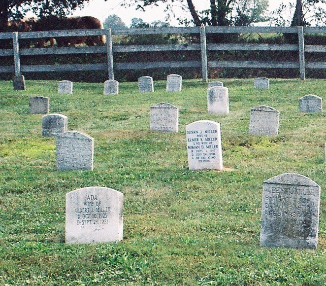
| Description | : | Located on the west side of South Swinehart Road, south of United States Route 30, north of Ely Road in East Union Township. The cemetery is located in East Union Township, Wayne County, Ohio, and is # 12662 (Eli Troyer Cemetery / Erb Cemetery) in “Ohio Cemeteries 1803-2003”, compiled by the Ohio Genealogical Society. The U.S. Geological Survey (USGS) Geographic Names Information System (GNIS) feature ID for the cemetery is 1040223 (Erb Cemetery / Erb Amish Cemetery). The cemetery is identified as A-1 (Roman S. Yoder Farm Cemetery) in “Cemetery Directory of the Amish Community in Eastern Holmes and... Read More |
frequently asked questions (FAQ):
-
Where is Erb Cemetery?
Erb Cemetery is located at 727B Swinehart Road (County Road 145) East Union, Wayne County ,Ohio , 44606USA.
-
Erb Cemetery cemetery's updated grave count on graveviews.com?
1 memorials
-
Where are the coordinates of the Erb Cemetery?
Latitude: 40.7874250
Longitude: -81.8045740
Nearby Cemetories:
1. Oliver Day Cemetery
Riceland, Wayne County, USA
Coordinate: 40.7885560, -81.7995560
2. Ramsey Cemetery #2
Apple Creek, Wayne County, USA
Coordinate: 40.7852220, -81.8236110
3. East Union Mennonite Church Cemetery
Orrville, Wayne County, USA
Coordinate: 40.7969820, -81.7865610
4. Carr Cemetery
Riceland, Wayne County, USA
Coordinate: 40.7965870, -81.7843170
5. Fountain Hill Cemetery
Wayne County, USA
Coordinate: 40.8011017, -81.7855988
6. Apple Creek Developmental Center Cemetery #2
Apple Creek, Wayne County, USA
Coordinate: 40.7715280, -81.8250830
7. Bodine Cemetery
East Union, Wayne County, USA
Coordinate: 40.8078995, -81.8246002
8. Oak Ridge Cemetery
Wooster, Wayne County, USA
Coordinate: 40.8078290, -81.8248230
9. Aaron Troyer Cemetery
East Union Township, Wayne County, USA
Coordinate: 40.7667520, -81.7788700
10. Ura E Miller Farm Cemetery
Apple Creek, Wayne County, USA
Coordinate: 40.7469840, -81.8080490
11. Joe U Miller Cemetery
East Union, Wayne County, USA
Coordinate: 40.7469810, -81.8080490
12. Ramsey Cemetery #1
Apple Creek, Wayne County, USA
Coordinate: 40.7702500, -81.8535280
13. Apple Creek Developmental Center Cemetery #1
Apple Creek, Wayne County, USA
Coordinate: 40.7559700, -81.8390427
14. Apple Creek Cemetery
Apple Creek, Wayne County, USA
Coordinate: 40.7545013, -81.8366013
15. Old Presbyterian Cemetery
Apple Creek, Wayne County, USA
Coordinate: 40.7554410, -81.8415570
16. Bott Family Cemetery
Apple Creek, Wayne County, USA
Coordinate: 40.7434006, -81.8137970
17. Bethel Mennonite Cemetery
Riceland, Wayne County, USA
Coordinate: 40.7784004, -81.7465973
18. Stauffer Cemetery
Honeytown, Wayne County, USA
Coordinate: 40.8008003, -81.8610992
19. Rock of Ages Church of God in Christ Cemetery
Apple Creek, Wayne County, USA
Coordinate: 40.7450710, -81.7764900
20. Weaver Cemetery
Honeytown, Wayne County, USA
Coordinate: 40.7952995, -81.8688965
21. Maple Grove Memorial Park
Wooster, Wayne County, USA
Coordinate: 40.8302210, -81.8453610
22. East Union Cemetery
Honeytown, Wayne County, USA
Coordinate: 40.7989006, -81.8735962
23. Arnold Cemetery
Kidron, Wayne County, USA
Coordinate: 40.7853012, -81.7335968
24. Paradise Cemetery
Smithville, Wayne County, USA
Coordinate: 40.8367996, -81.8417969