| Memorials | : | 0 |
| Location | : | Herrnhaag, Wetteraukreis, Germany |
| Coordinate | : | 50.2647790, 9.0900280 |
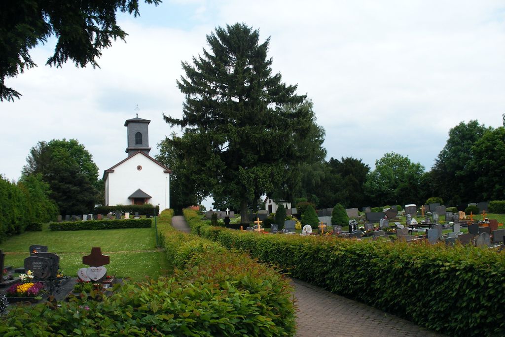
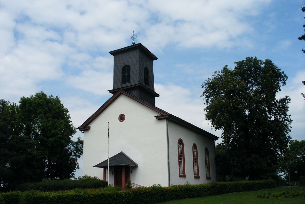
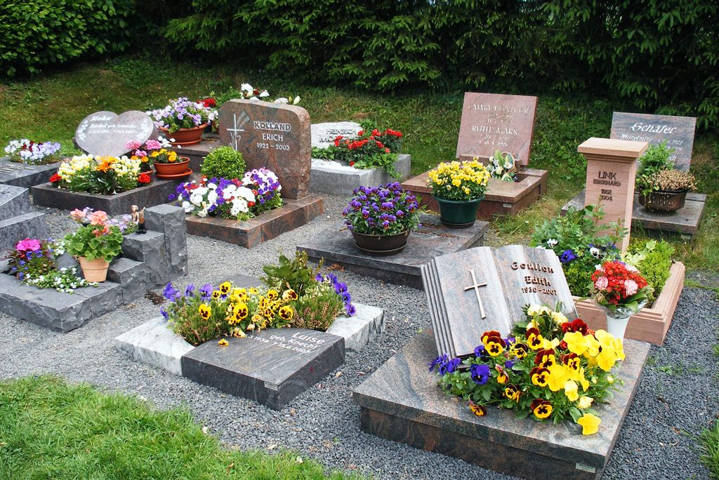
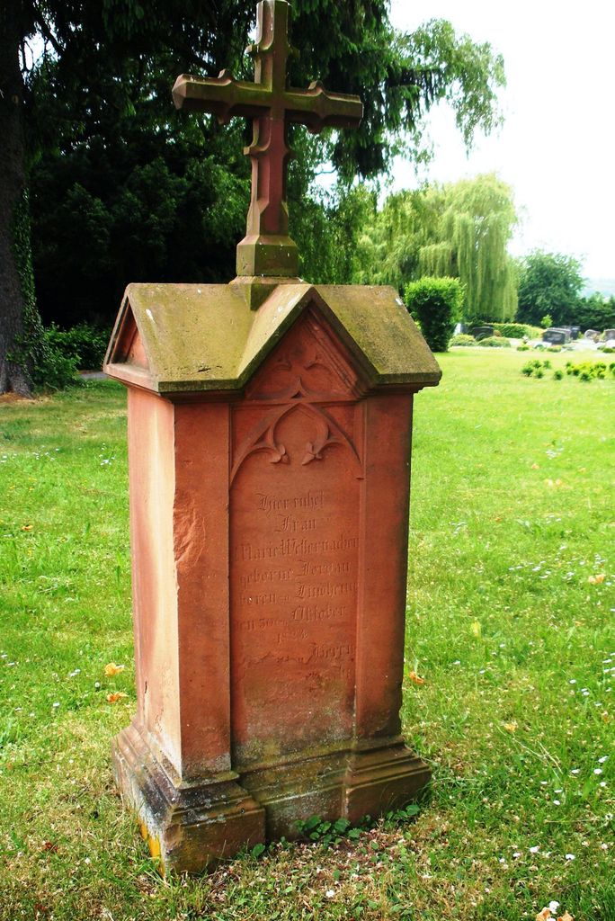
| Description | : | The Protestant church Herrnhaag with its surrounding cemetery is located at the former settlement of the Moravian Church on the Herrnhaag in Wetteraukreis in Hesse . The church and the cemetery are located about 200 m east of the building ensemble Herrnhaag in 197 meters altitude on an agriculturally used ridge on the L 3193 between Diebach on the Hague and Lorbach in the northwest part of the district Vonhausen . The church survived the Second World War almost unscathed. The church and the cemetery, which belonged to the surrounding communities, were handed over to the parish in 1949 because... Read More |
frequently asked questions (FAQ):
-
Where is Evangelical Church Cemetery?
Evangelical Church Cemetery is located at L 3193, Herrnhaag 4, Budingen, Germany Herrnhaag, Wetteraukreis ,Hessen , 63654Germany.
-
Evangelical Church Cemetery cemetery's updated grave count on graveviews.com?
0 memorials
-
Where are the coordinates of the Evangelical Church Cemetery?
Latitude: 50.2647790
Longitude: 9.0900280
Nearby Cemetories:
1. Marienkirche Budingen
Budingen, Wetteraukreis, Germany
Coordinate: 50.2923370, 9.1176600
2. Friedhof Hüttengesaß
Hüttengesäß, Main-Kinzig-Kreis, Germany
Coordinate: 50.2195100, 9.0419000
3. Friedhof Himbach
Himbach, Wetteraukreis, Germany
Coordinate: 50.2592193, 9.0048292
4. Friedhof Langen-Bergheim
Langen-Bergheim, Main-Kinzig-Kreis, Germany
Coordinate: 50.2349529, 8.9943979
5. Mausoleum im Schlosspark Meerholz
Meerholz, Main-Kinzig-Kreis, Germany
Coordinate: 50.1866160, 9.1465960
6. Alter Gemeindefriedhof Meerholz
Meerholz, Main-Kinzig-Kreis, Germany
Coordinate: 50.1838200, 9.1382860
7. Schlosskirche Meerholz
Meerholz, Main-Kinzig-Kreis, Germany
Coordinate: 50.1858120, 9.1463920
8. Jüdischer Friedhof
Gelnhausen, Main-Kinzig-Kreis, Germany
Coordinate: 50.1995307, 9.1886586
9. Kirchgemeinde Rodenbach Cemetery
Rodenbach, Main-Kinzig-Kreis, Germany
Coordinate: 50.3010900, 8.9539900
10. Evangelische Kirche Langenselbold
Langenselbold, Main-Kinzig-Kreis, Germany
Coordinate: 50.1754300, 9.0378000
11. Alter Jüdischer Friedhof
Nieder Mockstadt, Wetteraukreis, Germany
Coordinate: 50.3291192, 8.9625355
12. Friedhof Nieder Mockstadt
Nieder Mockstadt, Wetteraukreis, Germany
Coordinate: 50.3338480, 8.9489250
13. Kloster Engelthal
Altenstadt, Wetteraukreis, Germany
Coordinate: 50.2825000, 8.9130560
14. Neuer Friedhof Bruchköbel
Main-Kinzig-Kreis, Germany
Coordinate: 50.1730500, 8.9360900
15. Alter Friedhof
Bruchköbel, Main-Kinzig-Kreis, Germany
Coordinate: 50.1802476, 8.9260897
16. Kirche Schwickartshausen
Landkreis Limburg-Weilburg, Germany
Coordinate: 50.4000000, 9.0666700
17. Hof Trages
Somborn, Main-Kinzig-Kreis, Germany
Coordinate: 50.1226500, 9.0900400
18. Neuses Friedhof
Gelnhausen, Main-Kinzig-Kreis, Germany
Coordinate: 50.1238645, 9.1400179
19. Friedhof Bönstadt
Bönstadt, Wetteraukreis, Germany
Coordinate: 50.2861900, 8.8517600
20. Friedhof Steinberg
Wetteraukreis, Germany
Coordinate: 50.4135350, 9.1511890
21. Evangelische Pfarrkirche
Wetteraukreis, Germany
Coordinate: 50.4127780, 9.0091670
22. Friedhof Reichelsheim
Reichelsheim, Wetteraukreis, Germany
Coordinate: 50.3553800, 8.8698600
23. Friedhof Bad Orb
Bad Orb, Main-Kinzig-Kreis, Germany
Coordinate: 50.2252684, 9.3445534
24. Alter Friedhof Büdesheim
Büdesheim, Main-Kinzig-Kreis, Germany
Coordinate: 50.2165133, 8.8386229


