
| Memorials | : | 0 |
| Location | : | Semmenstedt, Landkreis Wolfenbüttel, Germany |
| Phone | : | +49 5336 397 |
| Website | : | www.kirche-asse.de/ortschaften/semmenstedt/ |
| Coordinate | : | 52.0929011, 10.6973664 |
frequently asked questions (FAQ):
-
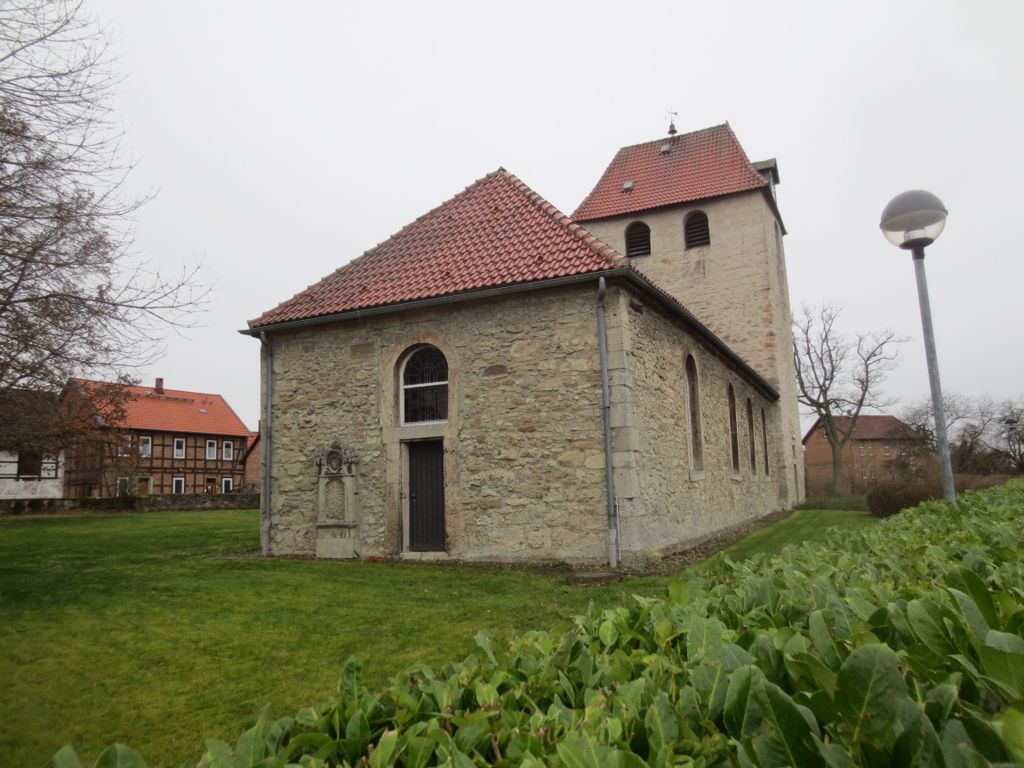
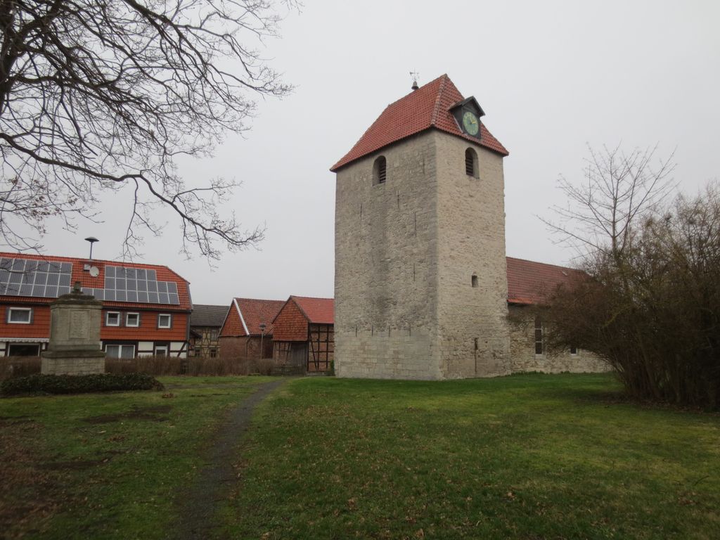
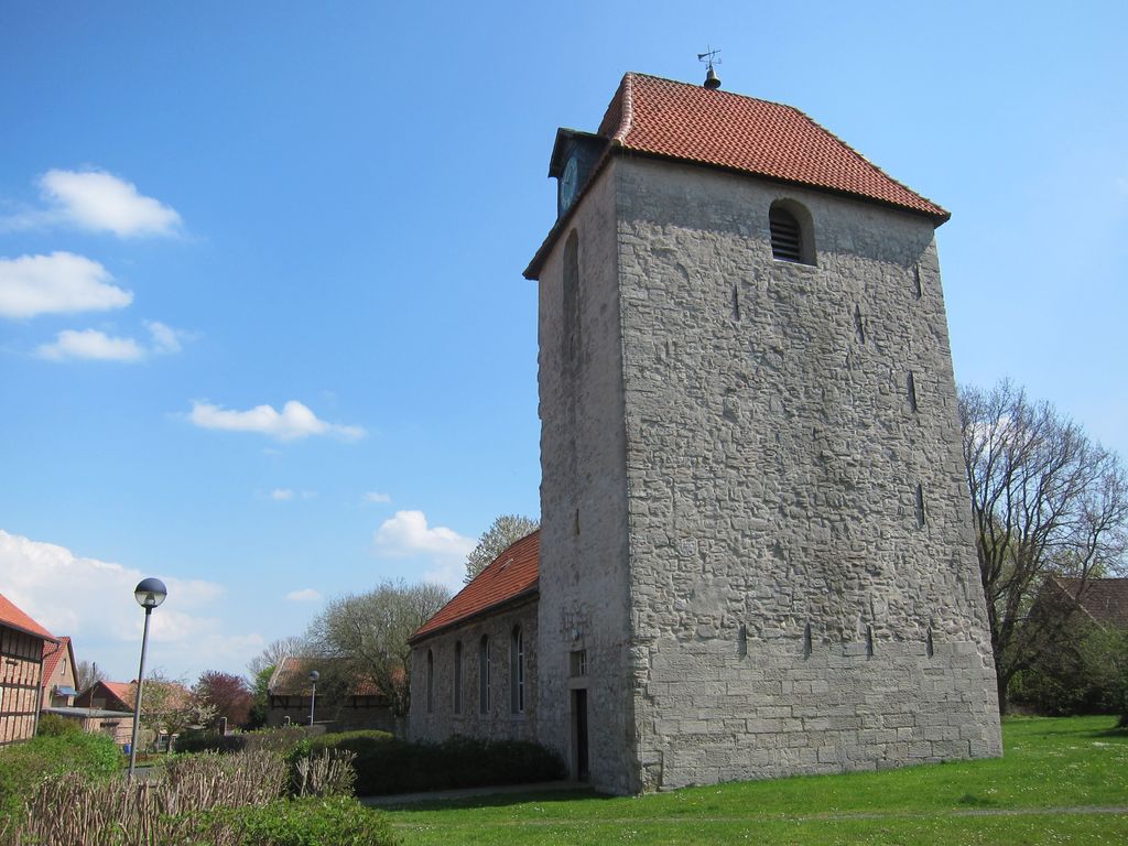
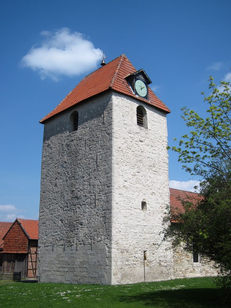
Where is Evangelische luth. Kirche Johannes Baptista?
Evangelische luth. Kirche Johannes Baptista is located at Kirchweg 4 Semmenstedt, Landkreis Wolfenbüttel ,Lower Saxony (Niedersachsen) , D-38327Germany.
-
Evangelische luth. Kirche Johannes Baptista cemetery's updated grave count on graveviews.com?
0 memorials
-
Where are the coordinates of the Evangelische luth. Kirche Johannes Baptista?
Latitude: 52.0929011
Longitude: 10.6973664
Nearby Cemetories:
1. Friedhof Semmenstedt
Semmenstedt, Landkreis Wolfenbüttel, Germany
Coordinate: 52.0917859, 10.7023418
2. Kirchhof St. Maria
Timmern, Landkreis Wolfenbüttel, Germany
Coordinate: 52.0820455, 10.6725421
3. Friedhof Remlingen
Remlingen, Landkreis Wolfenbüttel, Germany
Coordinate: 52.1095967, 10.6713628
4. Alter Kirchhof St. Godehard
Wetzleben, Landkreis Wolfenbüttel, Germany
Coordinate: 52.0688495, 10.7106488
5. Friedhof Hedeper
Hedeper, Landkreis Wolfenbüttel, Germany
Coordinate: 52.0679869, 10.6888315
6. Friedhof Wetzleben
Wetzleben, Landkreis Wolfenbüttel, Germany
Coordinate: 52.0685706, 10.7152819
7. Friedhof Klein Biewende
Klein Biewende, Landkreis Wolfenbüttel, Germany
Coordinate: 52.1046535, 10.6562623
8. Kirchhof zu Klein Vahlberg
Klein Vahlberg, Landkreis Wolfenbüttel, Germany
Coordinate: 52.1239201, 10.7176838
9. Kirchhof St. Stephanus
Kalme, Landkreis Wolfenbüttel, Germany
Coordinate: 52.0785542, 10.6453904
10. Friedhof Berklingen
Berklingen, Landkreis Wolfenbüttel, Germany
Coordinate: 52.1223084, 10.7309902
11. Kirchhof St. Marien zu Roklum
Roklum, Landkreis Wolfenbüttel, Germany
Coordinate: 52.0655044, 10.7376044
12. Kirchhof der Zion Kirche
Uehrde, Landkreis Wolfenbüttel, Germany
Coordinate: 52.1012756, 10.7648642
13. Kirchhof St Katharina zu Groß Vahlberg
Gross Vahlberg, Landkreis Wolfenbüttel, Germany
Coordinate: 52.1368615, 10.6937695
14. Friedhof Wittmar
Wittmar, Landkreis Wolfenbüttel, Germany
Coordinate: 52.1256715, 10.6477040
15. Friedhof Groß Biewende
Gross Biewende, Landkreis Wolfenbüttel, Germany
Coordinate: 52.0954754, 10.6244821
16. Friedhof Groß Winnigstedt
Winnigstedt, Landkreis Wolfenbüttel, Germany
Coordinate: 52.0696849, 10.7616903
17. Alter Friedhof Groß Winnigstedt
Winnigstedt, Landkreis Wolfenbüttel, Germany
Coordinate: 52.0676745, 10.7639381
18. Alter Kirchhof der Christuskirche
Winnigstedt, Landkreis Wolfenbüttel, Germany
Coordinate: 52.0657042, 10.7708772
19. Kirchhof zu Watzum
Watzum, Landkreis Wolfenbüttel, Germany
Coordinate: 52.1158277, 10.7813293
20. Friedhof Klein Winnigstedt
Winnigstedt, Landkreis Wolfenbüttel, Germany
Coordinate: 52.0616143, 10.7793760
21. Friedhof Mönchevahlberg
Mönchevahlberg, Landkreis Wolfenbüttel, Germany
Coordinate: 52.1500120, 10.6688036
22. Friedhof Bornum
Bornum, Landkreis Wolfenbüttel, Germany
Coordinate: 52.0899675, 10.5950754
23. Kirche in Achim
Achim, Landkreis Wolfenbüttel, Germany
Coordinate: 52.0586083, 10.6107129
24. Friedhof Achim
Achim, Landkreis Wolfenbüttel, Germany
Coordinate: 52.0582817, 10.6110422