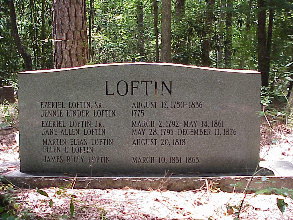
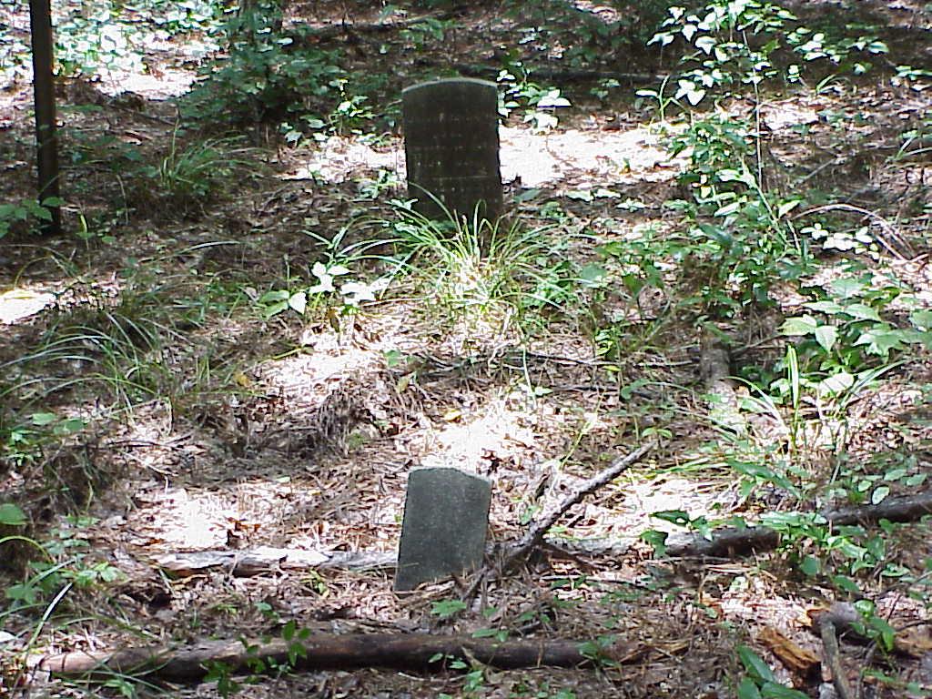
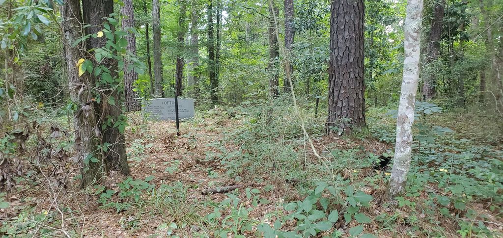
| Memorials | : | 0 |
| Location | : | Jefferson Davis County, USA |
| Coordinate | : | 31.4710220, -89.8753310 |
| Description | : | From the intersection of Highway 84 & 13 in Prentiss, MS, take Highway 13 South for approximately 8.5 miles. Turn left on Jack Loftin Rd and continue until it dead ends into Percy Bates Rd. Turn right on Percy Bates Rd and look for Ezekiel Loftin Cemetery on right hand side of road in less than 1/4 mile. ***This cemetery has been confused with L.L. Loftin Cemetery. The two cemeteries are close to each other and are no more than 1/2 mile apart, but they are not the same cemetery.*** |
frequently asked questions (FAQ):
-
Where is Ezekiel Loftin Cemetery?
Ezekiel Loftin Cemetery is located at Percy Bates Rd Jefferson Davis County ,Mississippi ,USA.
-
Ezekiel Loftin Cemetery cemetery's updated grave count on graveviews.com?
0 memorials
-
Where are the coordinates of the Ezekiel Loftin Cemetery?
Latitude: 31.4710220
Longitude: -89.8753310
Nearby Cemetories:
1. L L Loftin Cemetery
Jefferson Davis County, USA
Coordinate: 31.4736004, -89.8767014
2. Buckley Cemetery
Jefferson Davis County, USA
Coordinate: 31.4641991, -89.8914032
3. Old Greens Creek Cemetery
Carson, Jefferson Davis County, USA
Coordinate: 31.4733009, -89.8432999
4. Blackwell Cemetery
Jefferson Davis County, USA
Coordinate: 31.4897003, -89.9008026
5. Nelson Cemetery
Jefferson Davis County, USA
Coordinate: 31.4489002, -89.8993988
6. Friendship Cemetery
Jefferson Davis County, USA
Coordinate: 31.4941998, -89.8469009
7. Greens Creek Cemetery
Jefferson Davis County, USA
Coordinate: 31.4752998, -89.8300018
8. Nichols Cemetery
Jefferson Davis County, USA
Coordinate: 31.5028000, -89.9100037
9. Clear Springs Cemetery
Jefferson Davis County, USA
Coordinate: 31.5044003, -89.8422012
10. Jordan Hill Cemetery
Jefferson Davis County, USA
Coordinate: 31.5167007, -89.8731003
11. Francis Marion Burkett Cemetery
Jefferson Davis County, USA
Coordinate: 31.5146999, -89.8993988
12. Garner Cemetery
Jefferson Davis County, USA
Coordinate: 31.4435997, -89.8227997
13. Oglesby Cemetery
Jefferson Davis County, USA
Coordinate: 31.4288998, -89.9147034
14. Branton Cemetery
Jefferson Davis County, USA
Coordinate: 31.4675007, -89.9411011
15. Bourne Cemetery
Jefferson Davis County, USA
Coordinate: 31.4917300, -89.9415200
16. Bass Cemetery
Jefferson Davis County, USA
Coordinate: 31.4435997, -89.9408035
17. Landmark Cemetery
Jefferson Davis County, USA
Coordinate: 31.4750000, -89.8008300
18. White-Smith Cemetery
Bunker Hill, Marion County, USA
Coordinate: 31.4233200, -89.8198600
19. Andrew Jackson Burkett Cemetery
Jefferson Davis County, USA
Coordinate: 31.5389004, -89.8936005
20. Shorts Chapel CME Cemetery
Bassfield, Jefferson Davis County, USA
Coordinate: 31.4403660, -89.8017520
21. Will Gray Cemetery
Carson, Jefferson Davis County, USA
Coordinate: 31.5296350, -89.8217840
22. Hayes Cemetery
Jefferson Davis County, USA
Coordinate: 31.4057999, -89.9186020
23. New Zion Baptist Church Cemetery
Lawrence County, USA
Coordinate: 31.4577300, -89.9625900
24. Hepzibah Cemetery
Oak Vale, Lawrence County, USA
Coordinate: 31.4816208, -89.9663391


