
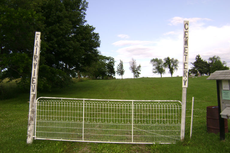
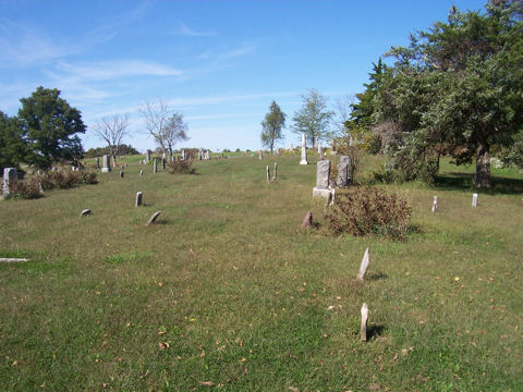
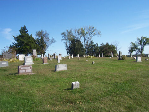
| Memorials | : | 1 |
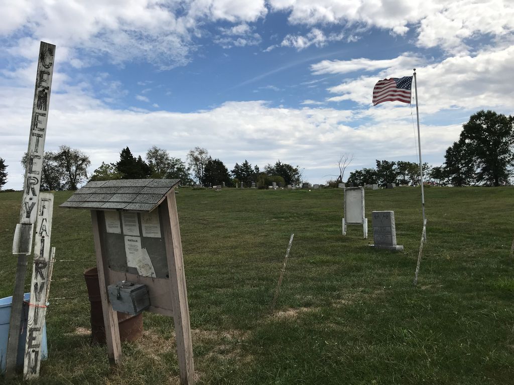
| Location | : | Cainsville, Harrison County, USA |
| Coordinate | : | 40.4755840, -93.7836090 |
| Description | : | From Bethany head east on Hwy 136 to Mt. Moriah and turn north on Hwy B to Cainsville. Turn north on Hwy B. The cemetery is on the east side of the road. It was started about 1865 is still in use. |
frequently asked questions (FAQ):
-
Where is Fairview Cemetery?
Fairview Cemetery is located at Clay Township Cainsville, Harrison County ,Missouri ,USA.
-
Fairview Cemetery cemetery's updated grave count on graveviews.com?
1 memorials
-
Where are the coordinates of the Fairview Cemetery?
Latitude: 40.4755840
Longitude: -93.7836090
Nearby Cemetories:
1. Mullins Cemetery
Mercer County, USA
Coordinate: 40.4724600, -93.7421900
2. Glaze Cemetery
Cainsville, Harrison County, USA
Coordinate: 40.4564480, -93.8250540
3. Fogleman Cemetery
Mercer County, USA
Coordinate: 40.5130997, -93.7630997
4. Akron Cemetery
Akron, Harrison County, USA
Coordinate: 40.5080986, -93.8174973
5. Oaklawn Cemetery
Mercer County, USA
Coordinate: 40.4324200, -93.7642700
6. Zoar Cemetery
Cainsville, Harrison County, USA
Coordinate: 40.4287987, -93.7648010
7. Hughes Cemetery
Cainsville, Harrison County, USA
Coordinate: 40.5433006, -93.7771988
8. Cain Cemetery
Mercer County, USA
Coordinate: 40.4102500, -93.7467300
9. Eastin Cemetery
Mercer County, USA
Coordinate: 40.5475006, -93.7502975
10. Miller Cemetery
Harrison County, USA
Coordinate: 40.5491982, -93.8142014
11. Saint Paul Cemetery
Mercer County, USA
Coordinate: 40.4511610, -93.6846100
12. Freedom Cemetery
Adel, Mercer County, USA
Coordinate: 40.5386658, -93.7182617
13. Bohemian Cemetery
Cainsville, Harrison County, USA
Coordinate: 40.3936005, -93.8013992
14. Pleasant Hill Cemetery
Mercer County, USA
Coordinate: 40.4888992, -93.6716995
15. Catholic Cemetery
Harrison County, USA
Coordinate: 40.5522003, -93.8380966
16. Bethel Cemetery
Mercer County, USA
Coordinate: 40.5388908, -93.6891708
17. Mount Pleasant No 2 Baptist Church Cemetery
Blythedale, Harrison County, USA
Coordinate: 40.5300010, -93.8916160
18. South Cemetery
Mercer County, USA
Coordinate: 40.5710983, -93.7427979
19. Hutchison Cemetery
Mercer County, USA
Coordinate: 40.5716450, -93.7435150
20. Downey Cemetery
Harrison County, USA
Coordinate: 40.5581017, -93.8606033
21. Campbell Cemetery
Pleasanton, Decatur County, USA
Coordinate: 40.5892760, -93.7632110
22. Goshen Cemetery
Princeton, Mercer County, USA
Coordinate: 40.3807810, -93.6968080
23. Lilly Cemetery
Ridgeway, Harrison County, USA
Coordinate: 40.3880997, -93.8842010
24. Cedar Hill Cemetery
Blythedale, Harrison County, USA
Coordinate: 40.4743004, -93.9371033