
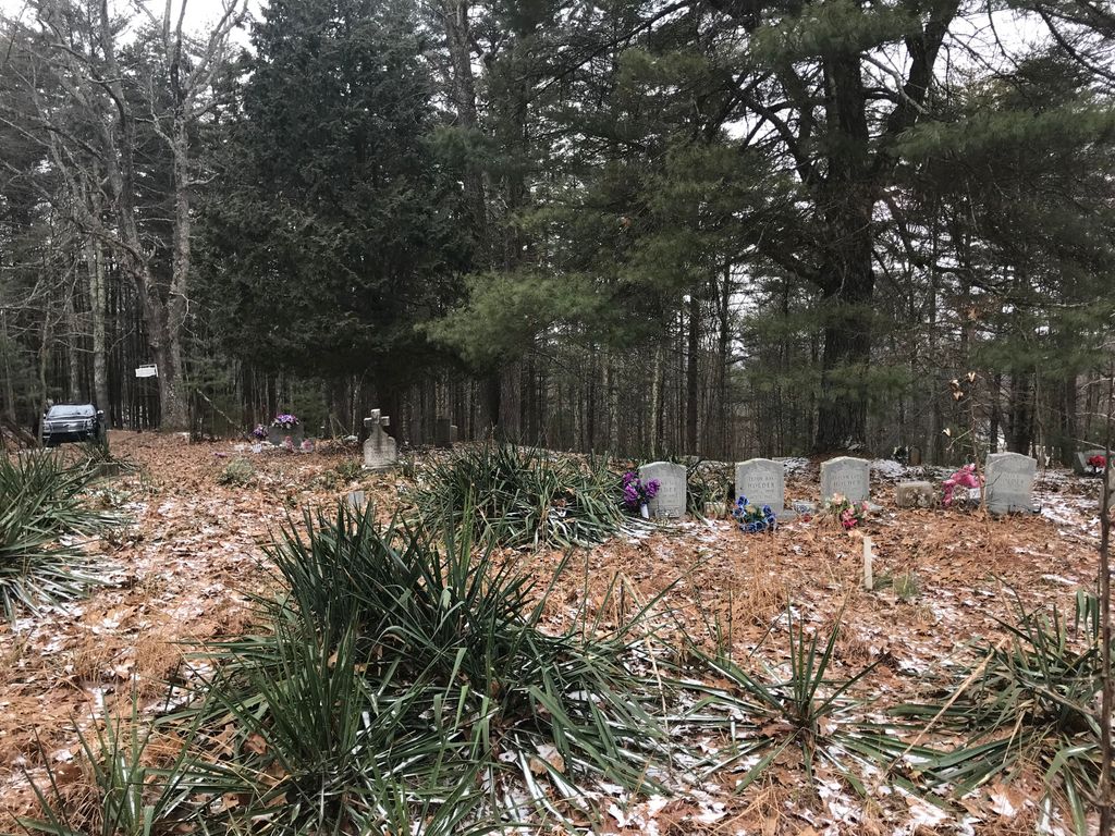
| Memorials | : | 0 |
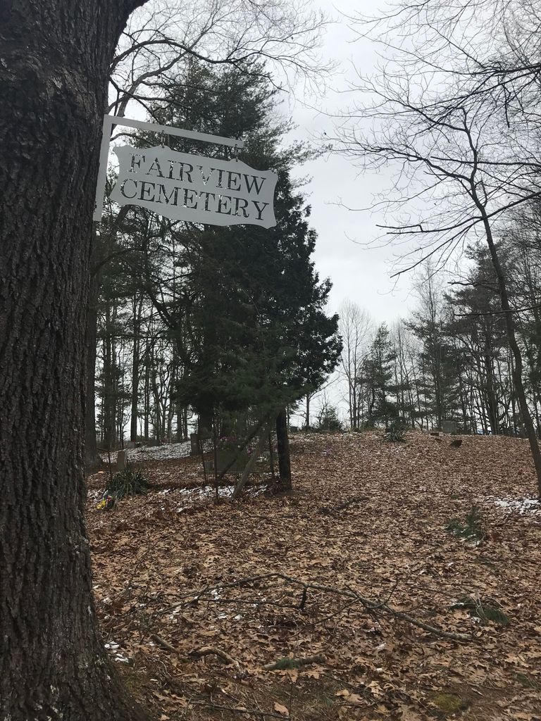
| Location | : | Mercer County, USA |
| Coordinate | : | 37.4365200, -81.1841890 |
| Description | : | From Route 10 at Lashmeet, WV, take a right onto Reese Harman Road. Go about 1 and 1/2 mile, turn left on Rich Creek Road. Go about 3/4 mile to a fork in the road, and take Bicknel Flat Road to the left. Go about 2 miles to the top of the hill. Make a left at the top of the hill onto a dirt road, then go 1/10th of a mile. Fairview Cemetery is on the left. |
frequently asked questions (FAQ):
-
Where is Fairview Cemetery?
Fairview Cemetery is located at Mercer County ,West Virginia ,USA.
-
Fairview Cemetery cemetery's updated grave count on graveviews.com?
0 memorials
-
Where are the coordinates of the Fairview Cemetery?
Latitude: 37.4365200
Longitude: -81.1841890
Nearby Cemetories:
1. Sneed-Shrewsbury Cemetery
Beeson, Mercer County, USA
Coordinate: 37.4632180, -81.1660950
2. Shrewsbury Cemetery
Beeson, Mercer County, USA
Coordinate: 37.4776040, -81.1872770
3. Linkous Cemetery
Beeson, Mercer County, USA
Coordinate: 37.4643250, -81.1458510
4. Clay Memorial Park
Bluestone, Mercer County, USA
Coordinate: 37.4030266, -81.1417618
5. French Cemetery
Camp Creek, Mercer County, USA
Coordinate: 37.4912800, -81.1222600
6. Lester Family Cemetery
Camp Creek, Mercer County, USA
Coordinate: 37.4914700, -81.1223100
7. Donley Cemetery
Mercer County, USA
Coordinate: 37.3567009, -81.1763992
8. Maxey Cemetery
Gardner, Mercer County, USA
Coordinate: 37.4421670, -81.0797390
9. Rowland Cemetery
Gardner, Mercer County, USA
Coordinate: 37.4209474, -81.0806007
10. Camp Creek Cemetery
Camp Creek, Mercer County, USA
Coordinate: 37.4951400, -81.1031300
11. John David Moye Cemetery
Camp Creek, Mercer County, USA
Coordinate: 37.4839000, -81.0917000
12. Hall-Gott Cemetery
Mercer County, USA
Coordinate: 37.3588982, -81.1288986
13. Harless Cemetery
Mercer County, USA
Coordinate: 37.3683014, -81.2572021
14. Dayton Lilly Cemetery
Camp Creek, Mercer County, USA
Coordinate: 37.4942700, -81.0933700
15. Hall Cemetery
Mercer County, USA
Coordinate: 37.3622017, -81.2533035
16. Eads Cemetery
Camp Creek, Mercer County, USA
Coordinate: 37.4897000, -81.0838800
17. Bethel Cemetery
Mercer County, USA
Coordinate: 37.4187140, -81.0628550
18. Keaton Mills Cemetery
Egeria, Mercer County, USA
Coordinate: 37.5338570, -81.2034870
19. Newton Moye Cemetery
Camp Creek, Mercer County, USA
Coordinate: 37.5093660, -81.0952140
20. Shrewsbury Cemetery
Basin, Wyoming County, USA
Coordinate: 37.5330560, -81.2438890
21. Coffee Cemetery
Mercer County, USA
Coordinate: 37.3638992, -81.2846985
22. Restlawn Memorial Gardens
Bluefield, Mercer County, USA
Coordinate: 37.3275390, -81.2026220
23. Mount Pisgah Baptist Church Cemetery
Basin, Wyoming County, USA
Coordinate: 37.5307940, -81.2575190
24. Bailey Cemetery
Flipping, Mercer County, USA
Coordinate: 37.3443000, -81.2620070