
| Memorials | : | 0 |
| Location | : | Douglas, Coffee County, USA |
| Coordinate | : | 31.3952500, -82.8158930 |
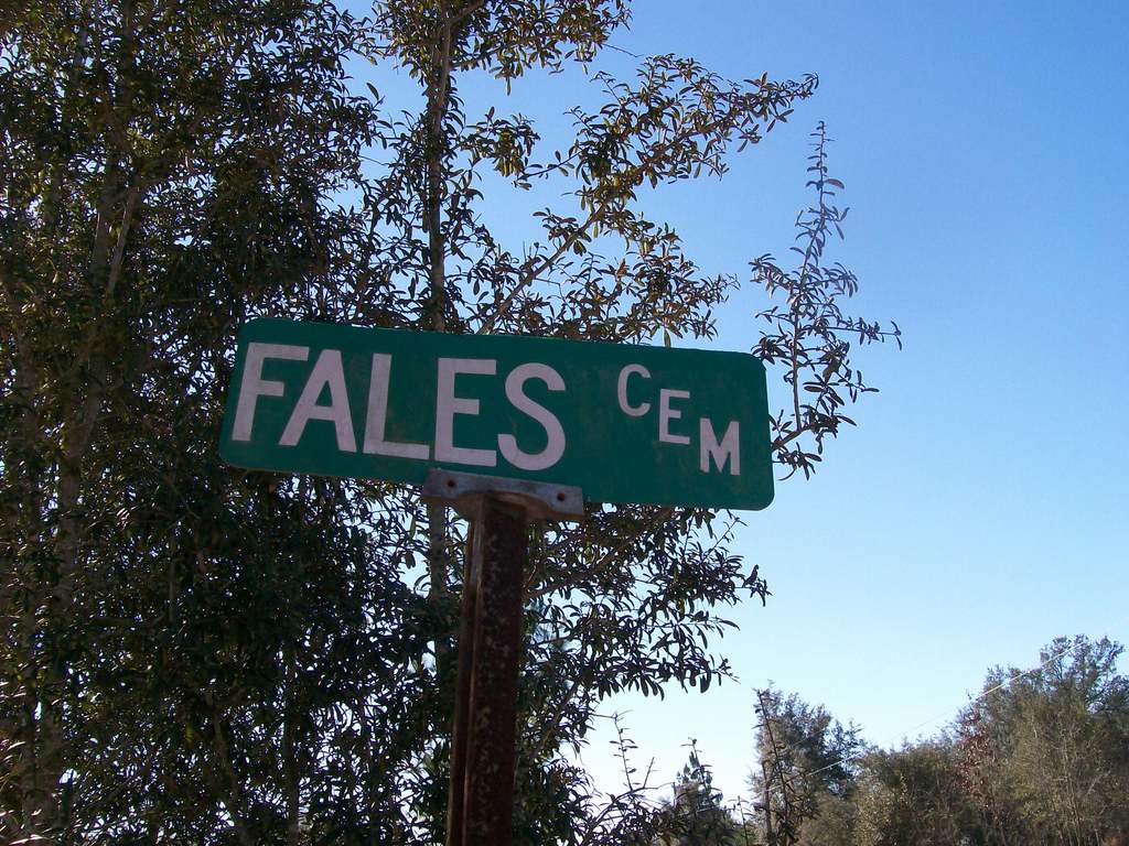
| Description | : | This is a historically Black cemetery, likely associated with the nearby Fales Temple, a historically Black, Pentecostal Christian congregation in the 'Fales' community of Coffee/Atkinson Counties. The cemetery is located in what is now the 'Green Acres' community, in Coffee County, Georgia; |
frequently asked questions (FAQ):
-
Where is Fales Cemetery?
Fales Cemetery is located at Beechwood Drive Douglas, Coffee County ,Georgia , 31535USA.
-
Fales Cemetery cemetery's updated grave count on graveviews.com?
0 memorials
-
Where are the coordinates of the Fales Cemetery?
Latitude: 31.3952500
Longitude: -82.8158930
Nearby Cemetories:
1. Tison Cemetery
Atkinson County, USA
Coordinate: 31.3764000, -82.8324966
2. Tanner Cemetery
Douglas, Coffee County, USA
Coordinate: 31.4106007, -82.7755966
3. Mount Pleasant Missionary Baptist Church Cemetery
Atkinson County, USA
Coordinate: 31.3617510, -82.8372570
4. Pine Forests Memorial Gardens
Coffee County, USA
Coordinate: 31.4221992, -82.8514023
5. Satilla Memorial Gardens
Douglas, Coffee County, USA
Coordinate: 31.4226840, -82.8515320
6. New Harmony Grove Missionary Baptist Church Cemete
Pearson, Atkinson County, USA
Coordinate: 31.3899231, -82.8645859
7. J Westley Roberts Cemetery
Coffee County, USA
Coordinate: 31.4027440, -82.8652890
8. Roberts Cemetery
Douglas, Coffee County, USA
Coordinate: 31.4046800, -82.8653720
9. Carver Baptist Church Cemetery
Douglas, Coffee County, USA
Coordinate: 31.4372005, -82.8657990
10. Saint Paul Catholic Church Columbarium
Douglas, Coffee County, USA
Coordinate: 31.4492550, -82.8516340
11. Jowers Chapel Cemetery
Atkinson County, USA
Coordinate: 31.3502998, -82.7647018
12. Harrell Grove Cemetery
Douglas, Coffee County, USA
Coordinate: 31.4557991, -82.7925034
13. Cumorah Cemetery
Douglas, Coffee County, USA
Coordinate: 31.4613991, -82.8289032
14. Royals Cemetery
Kirkland, Atkinson County, USA
Coordinate: 31.3881990, -82.8958420
15. Sweetwater United Methodist Church Cemetery
Pearson, Atkinson County, USA
Coordinate: 31.3275250, -82.8456800
16. McClelland Cemetery
Coffee County, USA
Coordinate: 31.4521999, -82.8719025
17. Franklin Cemetery
Douglas, Coffee County, USA
Coordinate: 31.4631004, -82.8518982
18. Ashley Yoemans Cemetery
Coffee County, USA
Coordinate: 31.4624996, -82.8703003
19. Wayfare Cemetery
Douglas, Coffee County, USA
Coordinate: 31.4783001, -82.8253021
20. Sunnyside Cemetery
Pearson, Atkinson County, USA
Coordinate: 31.3553480, -82.9041560
21. Adams Family Cemetery
Nicholls, Coffee County, USA
Coordinate: 31.4031020, -82.7148610
22. Bethel Missionary Baptist Church Cemetery
Coffee County, USA
Coordinate: 31.4608002, -82.8842010
23. McKinnon Family Cemetery
Douglas, Coffee County, USA
Coordinate: 31.4613310, -82.8835920
24. Mount Zion Cemetery
Axson, Atkinson County, USA
Coordinate: 31.3214090, -82.7581020