
| Memorials | : | 0 |
| Location | : | Loosier, Lawrence County, USA |
| Coordinate | : | 34.5779000, -87.3481000 |
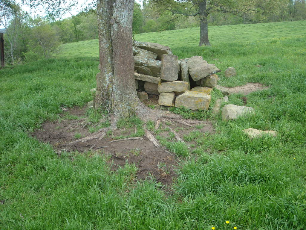
| Description | : | The Fannin, Gibson, Speegle Cemetery Most folks don't know that in the Loosier Community on land belonging to Harold Bradford is located an abandoned cemetery. Some will refer to this cemetery as the Fannin and some the Gibson, while others will call it the Speegle. Which name is correct? Well who am I to say? I can give a brief history on how it came to be called by the various names and you can decide. Originally the land was owned by William Fannin who entered it in 1861. After his death on July 4, 1887, the land... Read More |
frequently asked questions (FAQ):
-
Where is Fannin Cemetery?
Fannin Cemetery is located at Loosier, Lawrence County ,Alabama ,USA.
-
Fannin Cemetery cemetery's updated grave count on graveviews.com?
0 memorials
-
Where are the coordinates of the Fannin Cemetery?
Latitude: 34.5779000
Longitude: -87.3481000
Nearby Cemetories:
1. Norton Cemetery
Loosier, Lawrence County, USA
Coordinate: 34.5850000, -87.3590000
2. Old Liberty Cemetery
Courtland, Lawrence County, USA
Coordinate: 34.5900000, -87.3570000
3. John F. Terry Cemetery
Lawrence County, USA
Coordinate: 34.5920000, -87.3370000
4. James Terry Cemetery
Hatton, Lawrence County, USA
Coordinate: 34.5620000, -87.3560000
5. Loosier Church of Christ Cemetery
Loosier, Lawrence County, USA
Coordinate: 34.5720000, -87.3700000
6. John C. Terry Cemetery
Lawrence County, USA
Coordinate: 34.6000000, -87.3580000
7. John V. Terry Cemetery
Masterson Mill, Lawrence County, USA
Coordinate: 34.5910000, -87.3210000
8. Jetton Cemetery
Lawrence County, USA
Coordinate: 34.5905991, -87.3760986
9. Old Bethel Cemetery
Courtland, Lawrence County, USA
Coordinate: 34.5600000, -87.3230000
10. Oliver Cemetery
Hatton, Lawrence County, USA
Coordinate: 34.5710000, -87.3820000
11. Jones Chapel Congregational Christian Cemetery
Lawrence County, USA
Coordinate: 34.5500000, -87.3370000
12. Crow Cemetery
Masterson Mill, Lawrence County, USA
Coordinate: 34.6029000, -87.3066000
13. New Hope Church Cemetery
Courtland, Lawrence County, USA
Coordinate: 34.5990000, -87.3030000
14. Felix Terry Cemetery
Lawrence County, USA
Coordinate: 34.6250000, -87.3482971
15. Old Rutherford Cemetery
Hatton, Lawrence County, USA
Coordinate: 34.5373500, -87.3801200
16. Dossey Cemetery
Lawrence County, USA
Coordinate: 34.6169014, -87.3131027
17. Goodwin Cemetery
Hatton, Lawrence County, USA
Coordinate: 34.5468000, -87.3988000
18. Agee Family Cemetery
Hatton, Lawrence County, USA
Coordinate: 34.5787000, -87.4160000
19. Graham Cemetery at Harmony Methodist Church
Courtland, Lawrence County, USA
Coordinate: 34.6360000, -87.3460000
20. Conner Cemetery
Lawrence County, USA
Coordinate: 34.6316986, -87.3775024
21. Mayes Cemetery
Lawrence County, USA
Coordinate: 34.6338997, -87.3217010
22. Calhoun Cemetery
Longtown, Lawrence County, USA
Coordinate: 34.5548000, -87.2753000
23. Allen Family Cemetery
Courtland, Lawrence County, USA
Coordinate: 34.6360000, -87.3130000
24. Johnston Family Cemetery
Hatton, Lawrence County, USA
Coordinate: 34.5565582, -87.4261197