
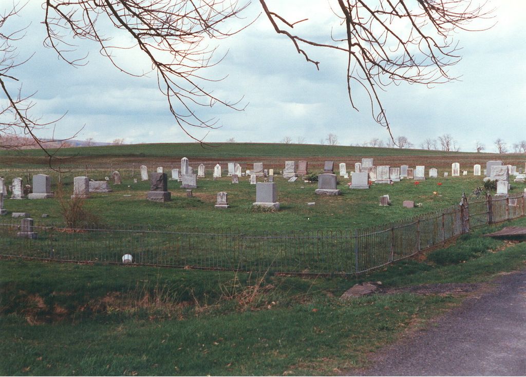
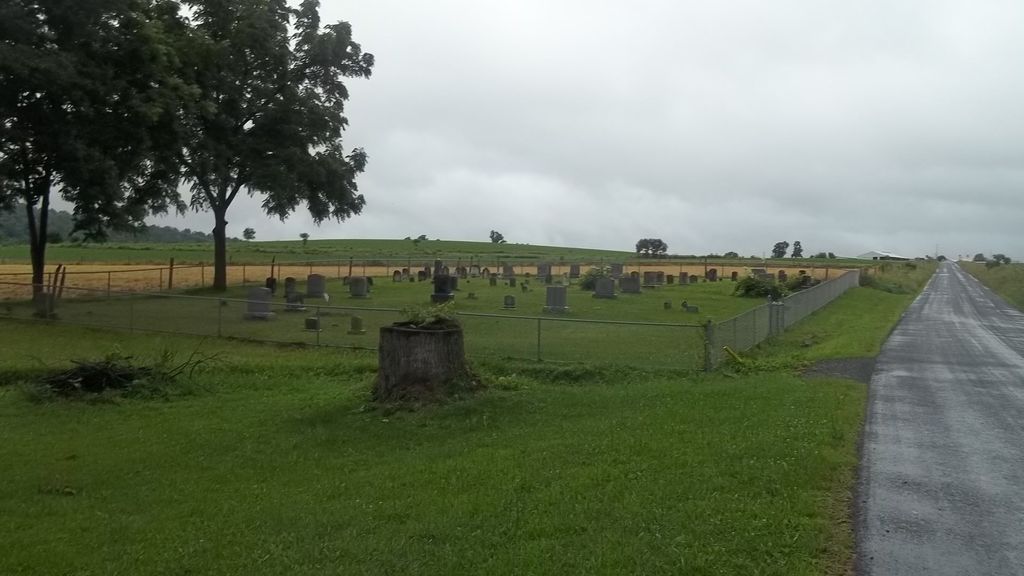
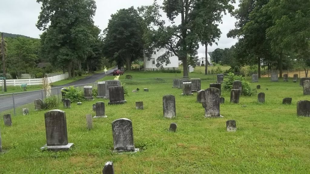
| Memorials | : | 2 |
| Location | : | Tuscarora Township, Juniata County, USA |
| Coordinate | : | 40.4302000, -77.5204000 |
frequently asked questions (FAQ):
-
Where is Farmers Grove Church of the Brethren Cemetery?
Farmers Grove Church of the Brethren Cemetery is located at Tuscarora Township, Juniata County ,Pennsylvania ,USA.
-
Farmers Grove Church of the Brethren Cemetery cemetery's updated grave count on graveviews.com?
2 memorials
-
Where are the coordinates of the Farmers Grove Church of the Brethren Cemetery?
Latitude: 40.4302000
Longitude: -77.5204000

Nearby Cemetories:
1. McKee Graveyard
Spruce Hill Township, Juniata County, USA
Coordinate: 40.4582200, -77.4923800
2. McCoysville Cemetery
McCoysville, Juniata County, USA
Coordinate: 40.4658012, -77.5539017
3. McCullochs Mills Cemetery
Honey Grove, Juniata County, USA
Coordinate: 40.4235000, -77.5846000
4. Ebenezer United Methodist Church Cemetery
Pleasant View, Juniata County, USA
Coordinate: 40.4742000, -77.4905000
5. Stony Point Cemetery
Perry County, USA
Coordinate: 40.3709000, -77.4772000
6. Lower Tuscarora Church and Cemetery
Beale Township, Juniata County, USA
Coordinate: 40.4975014, -77.4903030
7. Schwarey Family Cemetery
Beale Township, Juniata County, USA
Coordinate: 40.5033300, -77.5150000
8. Henry Memorial Cemetery
Nook, Juniata County, USA
Coordinate: 40.5056000, -77.5314026
9. Wharton Family Cemetery
Spruce Hill Township, Juniata County, USA
Coordinate: 40.4832380, -77.4465750
10. Sandy Hill Cemetery
Loysville, Perry County, USA
Coordinate: 40.3933000, -77.4287000
11. East Waterford Cemetery
Tuscarora Township, Juniata County, USA
Coordinate: 40.3760986, -77.6066971
12. Old Jimmy Cummings Place Cemetery
Honey Grove, Juniata County, USA
Coordinate: 40.3958284, -77.6235577
13. Brubaker Family Farm Cemetery
Juniata County, USA
Coordinate: 40.5182300, -77.5036400
14. Methodist Episcopal Cemetery
Blain, Perry County, USA
Coordinate: 40.3387200, -77.5137000
15. Blain Union Cemetery
Blain, Perry County, USA
Coordinate: 40.3386002, -77.5138016
16. Spruce Hill Amish Mennonite Cemetery
Spruce Hill Township, Juniata County, USA
Coordinate: 40.4935570, -77.4276640
17. Ridgeview Amish Cemetery
Loysville, Perry County, USA
Coordinate: 40.3707750, -77.4224860
18. Toboyne Presbyterian Churchyard
Blain, Perry County, USA
Coordinate: 40.3346200, -77.5075100
19. Shermans Valley Mennonite Cemetery
Loysville, Perry County, USA
Coordinate: 40.3520350, -77.4441900
20. Blain Cemetery
Blain, Perry County, USA
Coordinate: 40.3320930, -77.5220400
21. Church of the Living Christ Cemetery
Loysville, Perry County, USA
Coordinate: 40.3815200, -77.4084000
22. Saint Paul Lutheran Cemetery
Andersonburg, Perry County, USA
Coordinate: 40.3506012, -77.4447021
23. Buffalo Cemetery
Ickesburg, Perry County, USA
Coordinate: 40.4383050, -77.3898370
24. Emory Chapel Cemetery
Perry County, USA
Coordinate: 40.3717003, -77.4056015