| Memorials | : | 259 |
| Location | : | Springfield, Clark County, USA |
| Phone | : | 937-322-3491 |
| Website | : | www.ferncliffcemetery.org |
| Coordinate | : | 39.9375000, -83.8218994 |
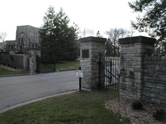
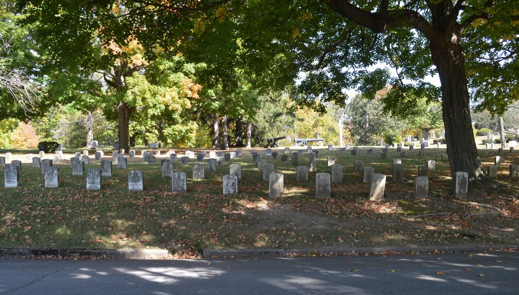
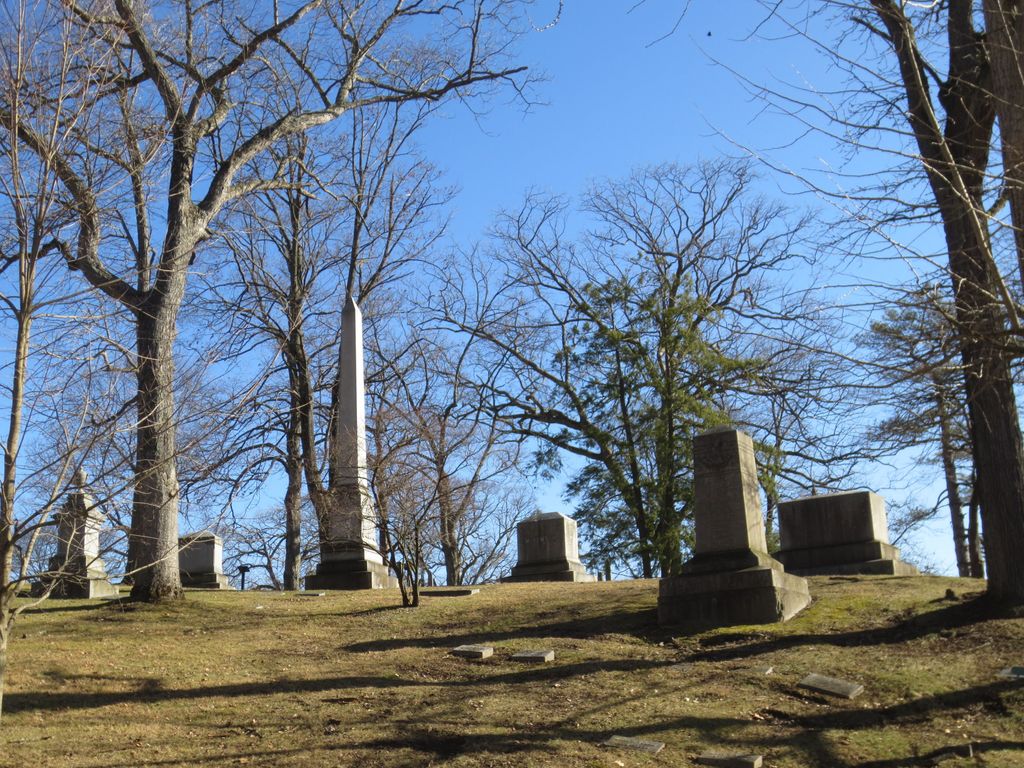
| Description | : | FAX 937-322-3452 The cemetery is located south of W 1st Street (Ohio State Route 41), west of St. Paris Pike, south of W McCreight Avenue, west of N Plum Street, and north of Buck Creek. The cemetery is located in Sharon Township, Clark County, Ohio, and is # 1728 (Ferncliff Cemetery) in “Ohio Cemeteries 1803-2003”, compiled by the Ohio Genealogical Society. The cemetery is registered with the Ohio Division of Real Estate and Professional Licensing (ODRE) as Ferncliff Cemetery with registration license number CRC.0000981722. The U.S. Geological Survey (USGS) Geographic Names Information System (GNIS) feature ID for the cemetery is 1040423 (Ferncliff Cemetery). |
frequently asked questions (FAQ):
-
Where is Ferncliff Cemetery?
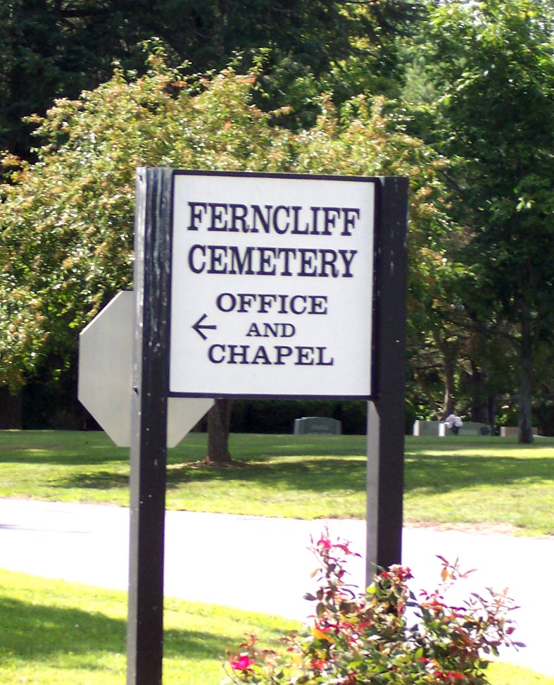
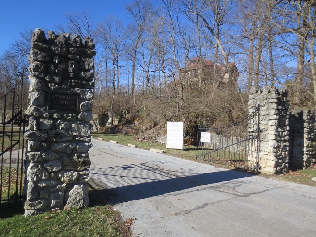
Ferncliff Cemetery is located at 501 West McCreight Avenue Springfield, Clark County ,Ohio , 45504USA.
-
Ferncliff Cemetery cemetery's updated grave count on graveviews.com?
220 memorials
-
Where are the coordinates of the Ferncliff Cemetery?
Latitude: 39.9375000
Longitude: -83.8218994
Nearby Cemetories:
1. Columbia Street Cemetery
Springfield, Clark County, USA
Coordinate: 39.9263992, -83.8131027
2. Saint Bernard Cemetery
Springfield, Clark County, USA
Coordinate: 39.9528008, -83.8107986
3. Christ Episcopal Church Columbarium
Springfield, Clark County, USA
Coordinate: 39.9226150, -83.8037060
4. Clark County Children's Home Cemetery
Springfield, Clark County, USA
Coordinate: 39.9506156, -83.8004840
5. Saint Raphael's Cemetery
Springfield, Clark County, USA
Coordinate: 39.9305992, -83.7869034
6. Greenmount Cemetery
Springfield, Clark County, USA
Coordinate: 39.9211006, -83.7889023
7. Masonic Home Cemetery
Springfield, Clark County, USA
Coordinate: 39.9178009, -83.8621979
8. Northminster Presbyterian Church Columbarium
Springfield, Clark County, USA
Coordinate: 39.9688520, -83.7955780
9. Newcomers Cemetery
Springfield, Clark County, USA
Coordinate: 39.9500008, -83.7668991
10. Mount Zion Cemetery
Springfield, Clark County, USA
Coordinate: 39.9811880, -83.8418690
11. Vale Cemetery
Springfield, Clark County, USA
Coordinate: 39.9371986, -83.8846970
12. Callison Cemetery
Springfield, Clark County, USA
Coordinate: 39.9516983, -83.8822021
13. Huffman House
Clark County, USA
Coordinate: 39.9133490, -83.8910650
14. First Christian Church Columbarium
Springfield, Clark County, USA
Coordinate: 39.9739620, -83.7620960
15. Graybill Cemetery
Clark County, USA
Coordinate: 39.9574550, -83.7468100
16. Hinkle Cemetery
Springfield, Clark County, USA
Coordinate: 39.8817177, -83.7870636
17. Lawrenceville Cemetery
Lawrenceville, Clark County, USA
Coordinate: 39.9860000, -83.8730000
18. Frantz-Ebersole Cemetery
Clark County, USA
Coordinate: 39.9180820, -83.9014680
19. Emery Chapel Cemetery
Springfield, Clark County, USA
Coordinate: 39.8746986, -83.8416977
20. Sims Chapel Cemetery
Lawrenceville, Clark County, USA
Coordinate: 39.9664860, -83.8997620
21. New Boston Cemetery
Clark County, USA
Coordinate: 39.9070000, -83.9060000
22. Calvary Cemetery
Springfield, Clark County, USA
Coordinate: 39.8843994, -83.7585983
23. Yale Cemetery
Clark County, USA
Coordinate: 39.9258003, -83.7257996
24. Yale Cemetery
Springfield, Clark County, USA
Coordinate: 39.9258935, -83.7257592


