
| Memorials | : | 0 |
| Location | : | Coolwell, Amherst County, USA |
| Phone | : | (434) 946-5434 |
| Coordinate | : | 37.5322610, -79.0904500 |
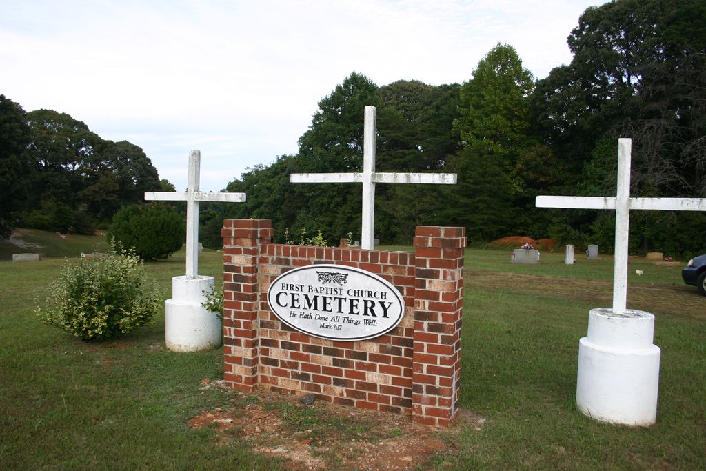
| Description | : | The Coolwell First Baptist Church was one of the first African-American churches founded independently of a white congregation. The church was organized in 1862 by the Rev. P. Ferguson. The building was rebuilt in 1973 and added on to in 1995. The location was originally referred to as a spot with a well, containing cold water, hence the name. This cemetery, in use for over 100 years, contains at least 255 individuals. Note: The Church’s newer cemetery is located at 37.529090, -79.089954 |
frequently asked questions (FAQ):
-
Where is First Baptist Church Cemetery?
First Baptist Church Cemetery is located at 193 Mt Airy Road Coolwell, Amherst County ,Virginia , 24521USA.
-
First Baptist Church Cemetery cemetery's updated grave count on graveviews.com?
0 memorials
-
Where are the coordinates of the First Baptist Church Cemetery?
Latitude: 37.5322610
Longitude: -79.0904500
Nearby Cemetories:
1. Briarwood Memorial Gardens
Amherst, Amherst County, USA
Coordinate: 37.5357740, -79.0934100
2. Faulconer Cemetery
Amherst, Amherst County, USA
Coordinate: 37.5357590, -79.1065340
3. Monument Hill at Sweet Briar
Sweet Briar Station, Amherst County, USA
Coordinate: 37.5511480, -79.0949640
4. Blanks Cemetery
Sweet Briar Station, Amherst County, USA
Coordinate: 37.5487510, -79.0637270
5. Sweet Briar Plantation Burial Grounds
Sweet Briar Station, Amherst County, USA
Coordinate: 37.5615930, -79.0856440
6. Hicks Cemetery
Amherst County, USA
Coordinate: 37.5150500, -79.1264300
7. Earley Farm Road Cemetery
Amherst, Amherst County, USA
Coordinate: 37.5341090, -79.0483100
8. Ebenezer Baptist Church Cemetery
Amherst, Amherst County, USA
Coordinate: 37.5386180, -79.0476730
9. Casey-Smoot Graveyard
Amherst, Amherst County, USA
Coordinate: 37.5241700, -79.0472000
10. Campbell Cemetery
Monroe, Amherst County, USA
Coordinate: 37.5036011, -79.1175003
11. Bolling Hill Baptist Church Cemetery
Coolwell, Amherst County, USA
Coordinate: 37.4963800, -79.0995140
12. Morriss-Watts Family Cemetery
Amherst, Amherst County, USA
Coordinate: 37.5392360, -79.0444890
13. Poplar Grove Cemetery
Amherst, Amherst County, USA
Coordinate: 37.5483780, -79.0464160
14. Coolwell First Baptist Church Cemetery
Amherst, Amherst County, USA
Coordinate: 37.4935040, -79.1027120
15. Monroe Church Of God Cemetery
Monroe, Amherst County, USA
Coordinate: 37.5006640, -79.1213010
16. McIvor Cemetery
Monroe, Amherst County, USA
Coordinate: 37.4988160, -79.1220280
17. Saint Pauls Cemetery
Monroe, Amherst County, USA
Coordinate: 37.5605200, -79.1295330
18. Higginbotham Cemetery
Amherst, Amherst County, USA
Coordinate: 37.5525200, -79.0433800
19. Bethany United Methodist Cemetery
Monroe, Amherst County, USA
Coordinate: 37.5292190, -79.1453680
20. Cedar Gate Rd Cemetery
Elon, Amherst County, USA
Coordinate: 37.5231830, -79.1497590
21. Jackson Family Cemetery
Amherst, Amherst County, USA
Coordinate: 37.5168290, -79.0324730
22. Lone Pine Cemetery
Madison Heights, Amherst County, USA
Coordinate: 37.4837490, -79.0900990
23. Rising Sun Missionary Baptist Church Cemetery
Monroe, Amherst County, USA
Coordinate: 37.5086520, -79.1442890
24. Christian Aid Society Cemetery
Amherst, Amherst County, USA
Coordinate: 37.5752983, -79.0578003