| Memorials | : | 37 |
| Location | : | San Diego, San Diego County, USA |
| Coordinate | : | 32.7674040, -117.1425440 |
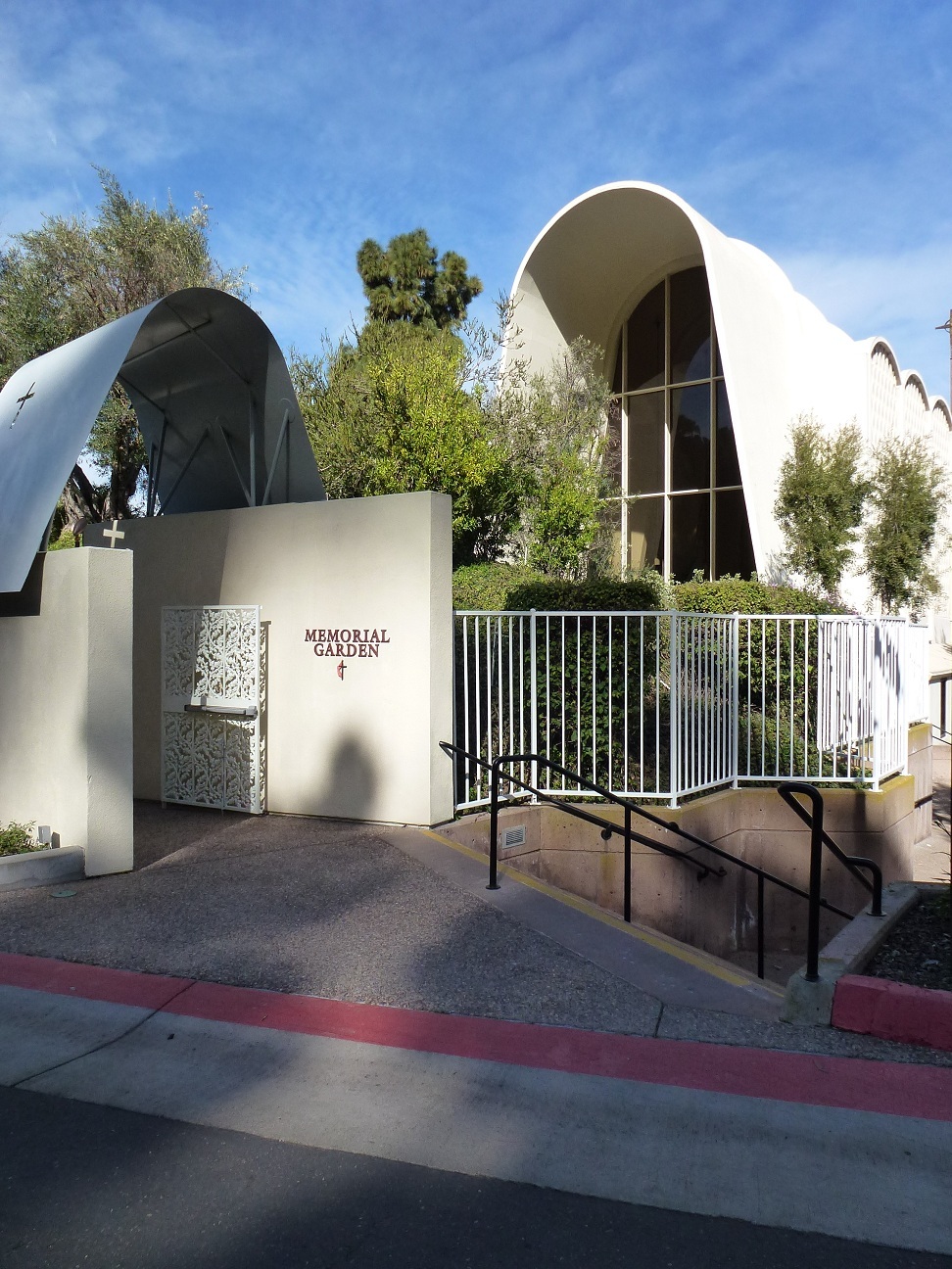
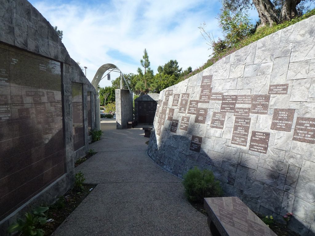
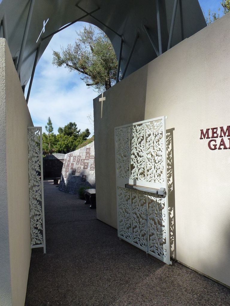
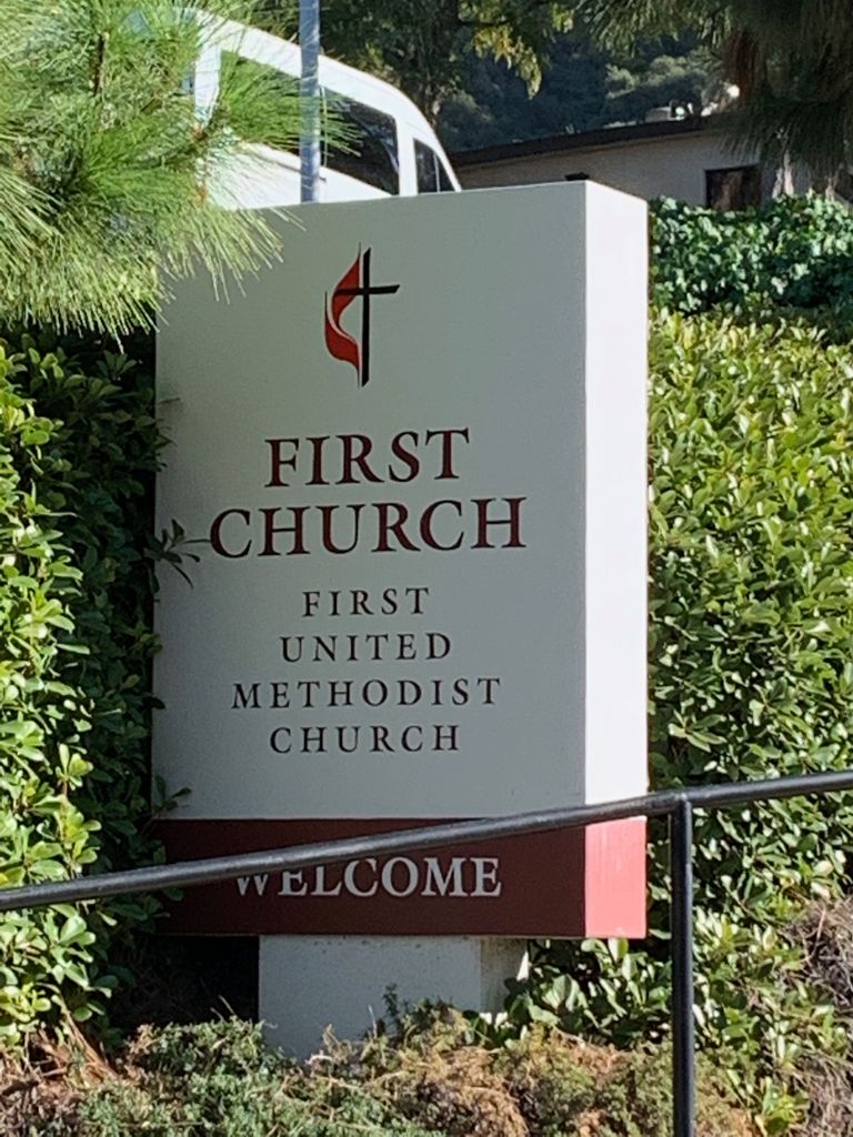
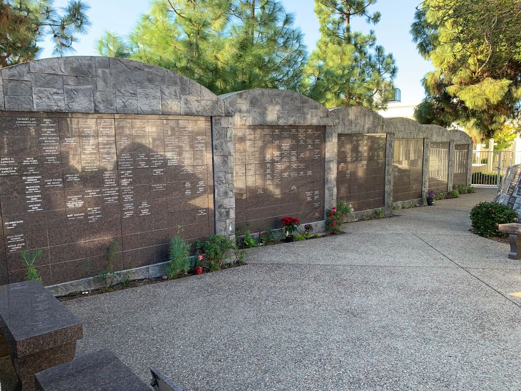
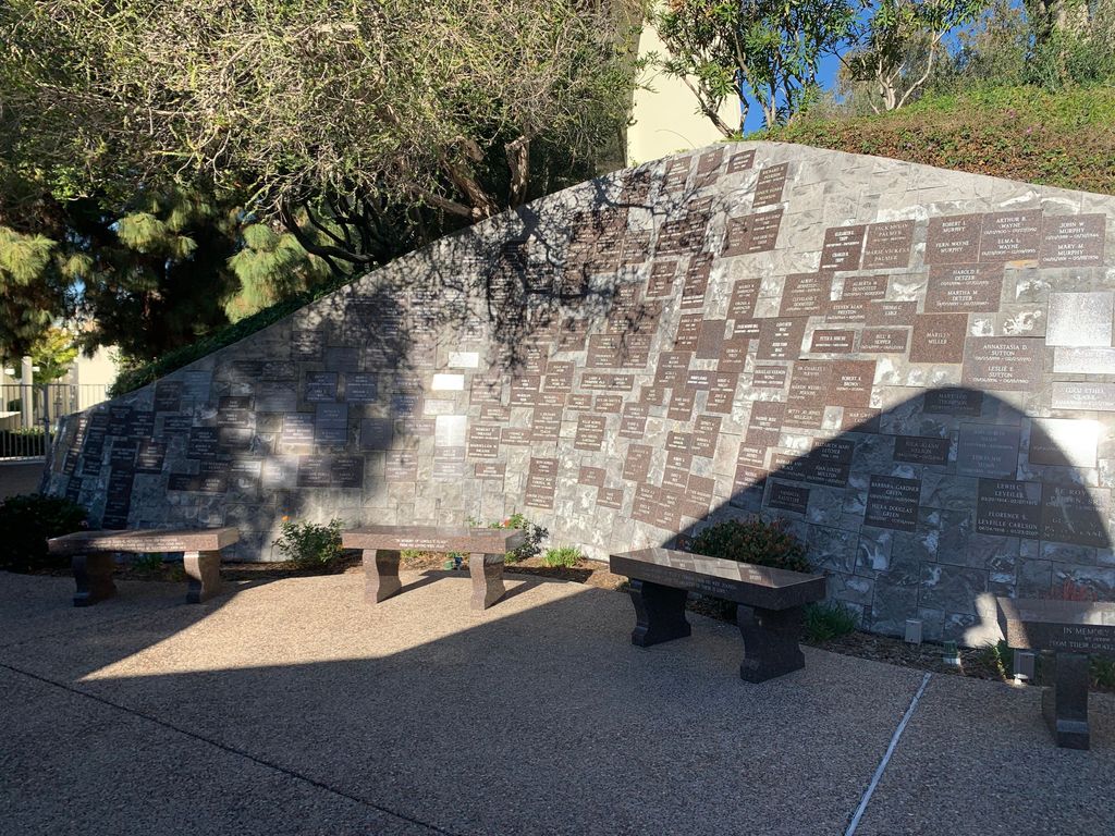
| Description | : | The First United Methodist Church Memorial Garden is actually a columbarium which they refer to as a memorial garden, it is located on the grounds of the First United Methodist Church of San Diego. First United Methodist Church of San Diego was founded on May 12, 1869 and was the first Protestant Church in San Diego County. The church has been located in Mission Valley since 1964. |
frequently asked questions (FAQ):
-
Where is First United Methodist Church Memorial Garden?
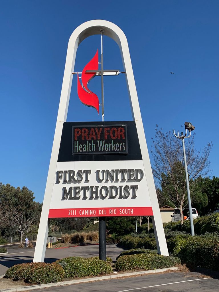
First United Methodist Church Memorial Garden is located at 2111 Camino del Rio South San Diego, San Diego County ,California , 92108USA.
-
First United Methodist Church Memorial Garden cemetery's updated grave count on graveviews.com?
36 memorials
-
Where are the coordinates of the First United Methodist Church Memorial Garden?
Latitude: 32.7674040
Longitude: -117.1425440
Nearby Cemetories:
1. Normal Heights United Methodist Church Columbarium
San Diego, San Diego County, USA
Coordinate: 32.7625900, -117.1186200
2. First Unitarian Universalist Church of San Diego
San Diego, San Diego County, USA
Coordinate: 32.7535730, -117.1664870
3. Mission San Diego de Alcala Cemetery
San Diego, San Diego County, USA
Coordinate: 32.7858009, -117.1103973
4. Calvary Cemetery
San Diego, San Diego County, USA
Coordinate: 32.7489014, -117.1766968
5. Saint Pauls Episcopal Cathedral Columbarium
San Diego, San Diego County, USA
Coordinate: 32.7340800, -117.1595900
6. Beth Sarim House
San Diego, San Diego County, USA
Coordinate: 32.7712330, -117.0992590
7. Nhu Lai Thien Tu Temple Columbarium
San Diego County, USA
Coordinate: 32.7411200, -117.1084400
8. El Campo Santo Cemetery
San Diego, San Diego County, USA
Coordinate: 32.7514000, -117.1922989
9. Presidio Hill Cemetery
Old Town San Diego, San Diego County, USA
Coordinate: 32.7592960, -117.1949920
10. Bum Dog Burial Site
San Diego, San Diego County, USA
Coordinate: 32.7105700, -117.1606500
11. Mount Hope Cemetery
San Diego, San Diego County, USA
Coordinate: 32.7111890, -117.1121660
12. Holy Cross Cemetery
San Diego, San Diego County, USA
Coordinate: 32.7168999, -117.0975037
13. Home of Peace Cemetery
San Diego, San Diego County, USA
Coordinate: 32.7052002, -117.1150970
14. Cypress View Mausoleum and Crematory
San Diego, San Diego County, USA
Coordinate: 32.7050018, -117.1081009
15. Greenwood Memorial Park
San Diego, San Diego County, USA
Coordinate: 32.7057991, -117.1025009
16. Tierrasanta Lutheran Church Memorial Garden
San Diego, San Diego County, USA
Coordinate: 32.8303840, -117.0866840
17. Saint Dunstans Episcopal Church Columbarium
San Diego, San Diego County, USA
Coordinate: 32.7963070, -117.0498750
18. Christ Episcopal Church Memorial Garden
Coronado, San Diego County, USA
Coordinate: 32.6866970, -117.1784000
19. All Souls Episcopal Church Columbarium
San Diego, San Diego County, USA
Coordinate: 32.7315950, -117.2425880
20. Saint Andrews by the Sea Church Columbarium
Pacific Beach, San Diego County, USA
Coordinate: 32.7950430, -117.2496340
21. Westminster Presbyterian Church Columbarium
San Diego, San Diego County, USA
Coordinate: 32.7228160, -117.2427620
22. Wat Lao Boubpharam Temple Columbarium
San Diego, San Diego County, USA
Coordinate: 32.7029900, -117.0574800
23. Anton Sonka Burial Site
Lemon Grove, San Diego County, USA
Coordinate: 32.7401240, -117.0319330
24. United Church of Christ Columbarium
La Mesa, San Diego County, USA
Coordinate: 32.7864100, -117.0184600

