
| Memorials | : | 183 |
| Location | : | Coeur d'Alene, Kootenai County, USA |
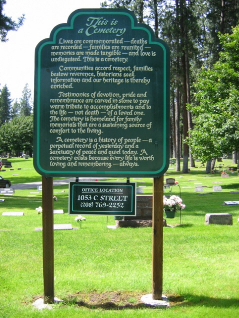
| Phone | : | 208-769-2252 |
| Coordinate | : | 47.6833600, -116.7888700 |
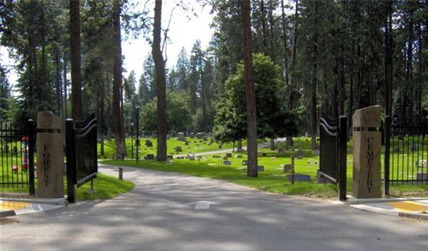
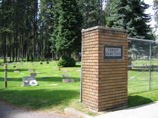
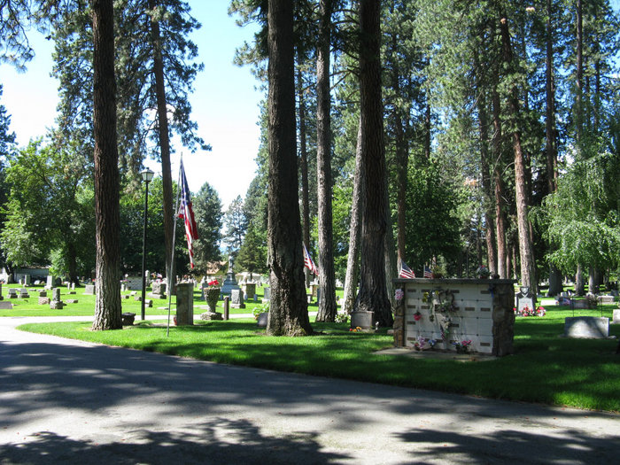
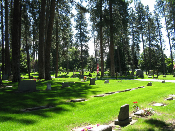
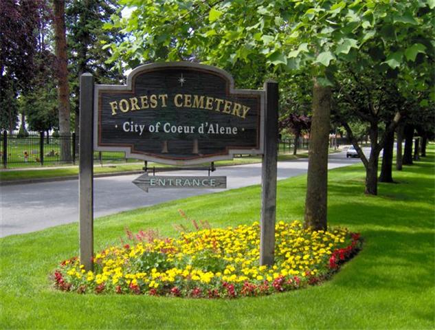
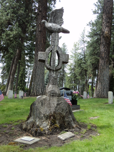
| Description | : | Forest Cemetery was originally called Fort Sherman Cemetery it was owned by the US Army at Fort Sherman from 1877 to 1898. It was then purchase by the city of Coeur d' Alene. |
frequently asked questions (FAQ):
-
Where is Forest Cemetery?
Forest Cemetery is located at 1011 N Government Way Coeur d'Alene, Kootenai County ,Idaho ,USA.
-
Forest Cemetery cemetery's updated grave count on graveviews.com?
153 memorials
-
Where are the coordinates of the Forest Cemetery?
Latitude: 47.6833600
Longitude: -116.7888700
Nearby Cemetories:
1. Riverview Cemetery
Coeur d'Alene, Kootenai County, USA
Coordinate: 47.6852798, -116.7916718
2. Saint Lukes Columbarium
Coeur d'Alene, Kootenai County, USA
Coordinate: 47.6767400, -116.7794800
3. Saint Pius Parish Cemetery
Coeur d'Alene, Kootenai County, USA
Coordinate: 47.7038050, -116.7771900
4. Bestland Cemetery
Coeur d'Alene, Kootenai County, USA
Coordinate: 47.7033005, -116.7727966
5. Saint Thomas Cemetery
Coeur d'Alene, Kootenai County, USA
Coordinate: 47.6727982, -116.7536011
6. Kootenai County Cemetery
Post Falls, Kootenai County, USA
Coordinate: 47.7052803, -116.8627777
7. Coeur d'Alene Memorial Gardens
Coeur d'Alene, Kootenai County, USA
Coordinate: 47.7380250, -116.7879720
8. Prairie View Cemetery
Coeur d'Alene, Kootenai County, USA
Coordinate: 47.7369385, -116.8083267
9. Saint John The Baptist Antiochian Orthodox Church
Post Falls, Kootenai County, USA
Coordinate: 47.7255000, -116.8842000
10. Post Falls 7th Day Adventist
Kootenai County, USA
Coordinate: 47.7309600, -116.9044010
11. Evergreen Cemetery
Post Falls, Kootenai County, USA
Coordinate: 47.7358017, -116.9464035
12. Loffs Bay Cemetery
Coeur d'Alene, Kootenai County, USA
Coordinate: 47.5663900, -116.8258470
13. Rimrock Cemetery
Garwood, Kootenai County, USA
Coordinate: 47.8246994, -116.7632980
14. Pine Grove Cemetery
Rathdrum, Kootenai County, USA
Coordinate: 47.8183100, -116.8736200
15. Pleasant View Cemetery
Post Falls, Kootenai County, USA
Coordinate: 47.6961000, -117.0111000
16. Ford Family Graveyard
Harrison, Kootenai County, USA
Coordinate: 47.5281200, -116.7994400
17. Mount Calvary Cemetery
Rathdrum, Kootenai County, USA
Coordinate: 47.8109055, -116.9901505
18. Harrison Cemetery
Harrison, Kootenai County, USA
Coordinate: 47.4495500, -116.7730800
19. Harrison
Harrison, Kootenai County, USA
Coordinate: 47.4492428, -116.7722339
20. Medimont Cemetery
Medimont, Kootenai County, USA
Coordinate: 47.4780579, -116.6044464
21. Lane Cemetery
Kootenai County, USA
Coordinate: 47.5074997, -116.5369034
22. Saint Josephs Cemetery
Trentwood, Spokane County, USA
Coordinate: 47.6996994, -117.1632996
23. Saltese Cemetery
Greenacres, Spokane County, USA
Coordinate: 47.6278000, -117.1660995
24. Rose Lake Cemetery
Rose Lake, Kootenai County, USA
Coordinate: 47.5580559, -116.4497223